
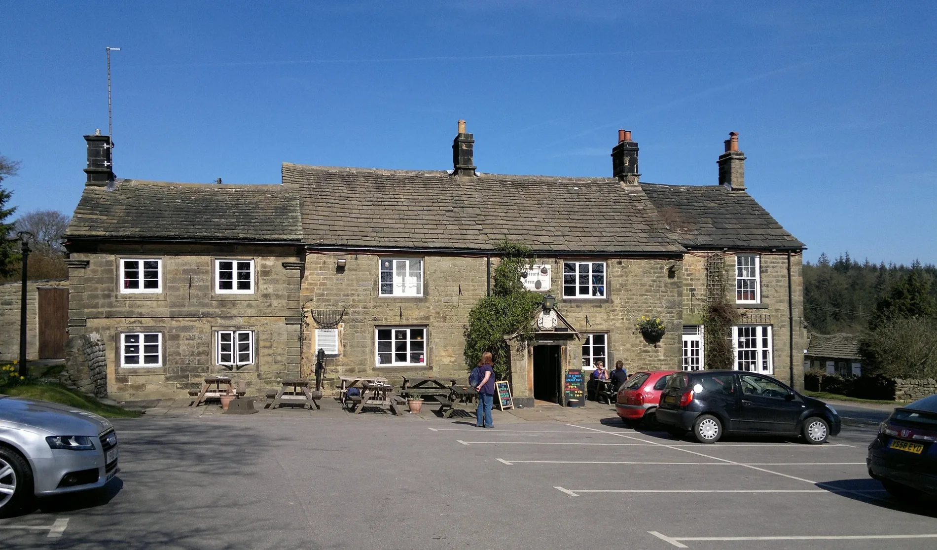
Strines Inn in Bradfield, South Yorkshire
Strines Inn in Bradfield in Sheffield is a pub (limited wheelchair access, opening hours: PH,Mo-Su 11:00-23:00), Mortimer Road (S6 6JE) 🌐.
- Postal Code
- S6 6JE
- Street
- Mortimer Road
- Amenity
- pub
- Building Type
- building
- Website
- https://www.thestrinesinn.co.uk/
- Wheelchair Access
- limited
Image
Hofläden
Bus stops
Roads nearby
Foulstone Road700 m
Mortimer RoadEwden, Strines, Strines Bridge, Bradfield Parish Council, Agden Bridge
1,4 km
Lane Head Road1,6 km
Hall LaneThompson House
1,7 km
Blindside LaneAnnet Bridge, Brooms Cottage
1,8 km
Sugworth Road1,8 km
Thornseat Road1,9 km
Thompson House Green1,9 km
Moscar Cross Road2,1 km
Roger LaneWragg House Plantation
2,1 km
Hoar Stones RoadFox Holes
2,4 km
Stake Hill Road2,4 km
Heathy Lane2,5 km
Manchester Road2,9 km
Body of waters nearby
Strines Reservoir850 m
Dale Dike Reservoir2,4 km
Buildings nearby
Go Ballistic Sheffield200 m
Boot's Folly1,1 km
Mappin Cottage3,0 km
Cliffs nearby
Derwent Edge3,0 km
Hordron Edge3,1 km
Farmyards nearby
Moscar House2,5 km
Moscar Cross Farm2,5 km
Houses nearby
Brogging800 m
Stubbing1,0 km
Hallfield1,4 km
Lane Head1,6 km
Wardens House2,5 km
Quarries nearby
Thornseat Quarry (disused)2,2 km
Residential areas nearby
Moscar Cross House2,3 km
Moscar Lodge2,8 km
Ruins nearby
Bamford Lodge (ruin)2,3 km
Sports pitches nearby
Delta Force Paint Ball550 m
Streams nearby
Foulstone Dike800 m
Holling Dale Brook1,2 km
Brogging Moss Dike1,2 km
Strines Dike1,2 km
Running Moss Dike1,3 km
Rushy Flat Dike1,8 km
Emlin Dike2,7 km
Bents Clough2,7 km
Rising Clough2,8 km
Highshaw Clough2,9 km
Ladybower Brook3,0 km
Wetlands nearby
Raddlepit Rushes1,7 km
Woodlands nearby
Brogging Moss Plantation1,0 km
Holes Wood1,3 km
Andrew Wood1,6 km
Eleven Acre Plantation2,7 km
| Heritage designation | Grade II listed building |
|---|---|
| Located in | Bradfield |
| Country | United Kingdom |
 Public transport map Bradfield Legend
| Railway | |
| Bus | |
| Tram |
 Cycling map Bradfield Legend
| Cycle path | |
| Cycle lane on road | |
| Cycling on bus lane | |
| Bicycle street | |
| Cyclists allowed | |
| Cyclists allowed, good surface | |
| No cycling | |
| Cobblestones |
| Long-distance cycle route | (depending on scale) | |
| Long-distance cycle route |
 Walking map Bradfield Legend
| Path |
| Long-distance hiking trail | (depending on scale) | |
| Long-distance hiking trail | ||
| No pedestrians |