
Polstead Hill
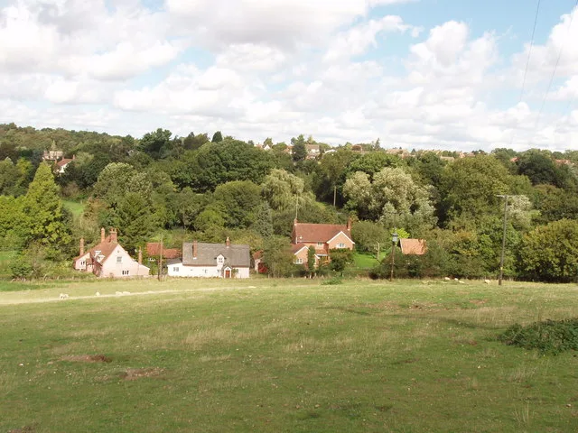
Polstead Hill in Polstead in Babergh is a minor road. It runs in a northeast-southwest direction starting from Water Lane and crosses Heath Road and ends at Rockalls Road. This road is part of the bicycle route "Wolf Way". The nearest stop is Water Lane.
- Road Type
- minor road
- Route
- northeast-southwest
Image
Bus stops
Roads nearby
Water LaneWater Lane
150 m
Flaggy Pond View350 m
Mill StreetMill Street
550 m
Rockalls Road550 m
Cherry Billy's Lane750 m
Mill Lane850 m
Homey Bridge Road850 m
Rectory Hill1000 m
Marten's Lane1,2 km
Calves Lane1,5 km
Heath RoadThe Cock, Polstead Village Sign
1,5 km
Blundens Corner1,7 km
The BlundensShelter
1,7 km
Sudbury RoadMiddle School, The Blundens
1,7 km
Green Lane1,7 km
Underwood Close1,8 km
Goldenlond1,9 km
Polstead StreetThe Angel
1,9 km
Heath Close1,9 km
Church StreetVillage Hall
1,9 km
Church Lane1,9 km
Park StreetStoke By Nayland Post Office, The Open Road Books
2,0 km
School Street2,0 km
Straight RoadTelephone Box, Shoulder of Mutton
2,0 km
Park Road2,0 km
Holt Road2,2 km
Car dealerships nearby
LS Eaves1,8 km
Caravan site nearby
Polstead Camping & Caravan Site2,2 km
Community centres nearby
Polstead Village Hall250 m
Stoke by Nayland Village Hall1,9 km
Convenience stores nearby
Polstead Community Shop250 m
Park Street Stores & Post Office1,9 km
Farmyards nearby
Ponds Farm150 m
Cherrytree Farm900 m
Steps Farm1,1 km
Scotland Place Farm1,4 km
Orchards nearby
Cherry Wood2,0 km
Places of worship nearby
St Mary, Polstead250 m
Saint Mary, Stoke-by-Nayland1,9 km
Pubs nearby
Cock Inn300 m
The Crown1,9 km
Restaurants nearby
The Angel Inn1,9 km
Rivers nearby
River Box1,0 km
Woodlands nearby
Bushy Park Wood1000 m
Broom Hill1,5 km
Millfield Wood1,6 km
The Howe1,6 km
King Harry's Grove1,9 km
Howe Wood2,2 km
 Public transport map Polstead Legend
| Railway | |
| Bus | |
| Tram |
 Cycling map Polstead Legend
| Cycle path | |
| Cycle lane on road | |
| Cycling on bus lane | |
| Bicycle street | |
| Cyclists allowed | |
| Cyclists allowed, good surface | |
| No cycling | |
| Cobblestones |
| Long-distance cycle route | (depending on scale) | |
| Long-distance cycle route |
 Walking map Polstead Legend
| Path |
| Long-distance hiking trail | (depending on scale) | |
| Long-distance hiking trail | ||
| No pedestrians |