
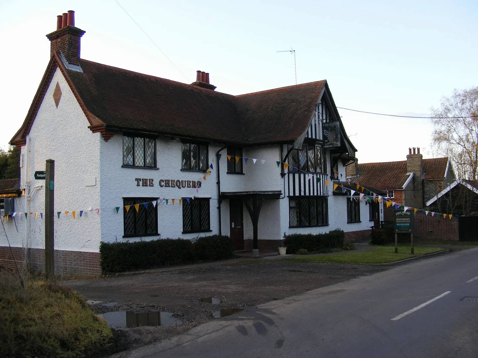
The Chequers in Kettleburgh
The Chequers in Kettleburgh in East Suffolk ist ein Gebäude, The Street (IP13 7JT). The Chequers also exists in West Suffolk.
- Postal Code
- IP13 7JT
- Street
- The Street
- Building Type
- pub
Image
Roads nearby
Low Street100 m
Lings Field150 m
Mill Lane400 m
Church Road550 m
School Hill850 m
Kettleburgh Road1,1 km
Borretts Farm Lane1,1 km
Church Lane1,3 km
Old Maids' Lane1,4 km
Ford Lane1,4 km
Pond Piece1,6 km
Low LaneBrandeston, Queens Head, The Queen
1,7 km
Framlingham Road1,8 km
Larcoms Lawne1,9 km
Mutton LaneBrandeston Village Sign
2,0 km
Harriers Walk2,1 km
Sandy Lane2,3 km
Wriggle Street2,3 km
Friday Street2,3 km
Cooks Hill2,5 km
Dark Lane2,5 km
School Lane2,7 km
The StreetMonewden Village Sign, Hoo
2,8 km
Park RoadLetheringham Village Sign
2,8 km
Skylark Rise2,9 km
High Road2,9 km
Woodbridge RoadHatcher Components Limited
2,9 km
Main Road3,1 km
Abandoned railways nearby
Framlingham Branch3,0 km
Attraction nearby
Easton Farm Park2,4 km
Buildings nearby
Jake's Kitchen2,0 km
Easton Cricket Club2,6 km
Community centres nearby
Kettleburgh Village Hall450 m
Brandeston Village Hall1,7 km
Easton and Letherington Village Hall2,3 km
Monewden Village Hall2,9 km
Golf courses nearby
Kingfishers at Cretingham Country Park2,6 km
Houses nearby
Upperfield House1,0 km
Meadows nearby
Kettleburgh Village Pound350 m
Parks nearby
Kettleburgh Green550 m
Places of worship nearby
St Andrews, Kettleburgh550 m
St Andrew and St Eustachius, Hoo1,1 km
Saint Mary1,6 km
All Saints2,3 km
Saint Mary's Church2,9 km
Pubs nearby
White Horse2,4 km
Rivers nearby
River Deben2,3 km
Streams nearby
Ore2,9 km
Woodlands nearby
Sally's Grove2,7 km
| Owner | Tolly Cobbold |
|---|---|
| Located in | Kettleburgh |
| Country | United Kingdom |
 Public transport map Kettleburgh Legend
| Railway | |
| Bus | |
| Tram |
 Cycling map Kettleburgh Legend
| Cycle path | |
| Cycle lane on road | |
| Cycling on bus lane | |
| Bicycle street | |
| Cyclists allowed | |
| Cyclists allowed, good surface | |
| No cycling | |
| Cobblestones |
| Long-distance cycle route | (depending on scale) | |
| Long-distance cycle route |
 Walking map Kettleburgh Legend
| Path |
| Long-distance hiking trail | (depending on scale) | |
| Long-distance hiking trail | ||
| No pedestrians |