
Mill Lane in Billingham
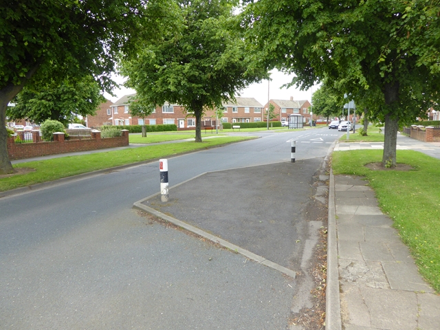
Mill Lane in England, Billingham is a two-lane, lit minor road. The road has sidewalks as well as a cycle path (cycle lane). It runs in a north-south direction. Mill Lane also exists in Stockton-on-Tees, Darlington, Loftus, Stillington and Whitton and Wolviston.
- Road Type
- minor road
- Lanes
- 2
- Speed Limit
- 30 mph
- Route
- north-south
Image
Convenience stores
Car repair shops
Platforms
- bus lines 34
Bookmakers
Bus stops
- bus lines 34
Fast food restaurants
Pet shops
Pubs
Florist's
Roads nearby
Brunner Road150 m
Thirlmere Court200 m
East Avenue200 m
Avenue Crescent200 m
Ambleside Road250 m
Rodney Close250 m
Grange Avenue250 m
Crescent Avenue250 m
Rydal Avenue250 m
Mond Crescent250 m
Windermere Avenue300 m
New Road300 m
Ullswater Road300 m
South Avenue300 m
Collingwood Road300 m
Marlborough Close350 m
Imperial Road350 m
Wooler Crescent350 m
Howard Walk350 m
Tibbersley Avenue400 m
Keswick Road400 m
Middle Avenue400 m
West Avenue450 m
Roscoe Road450 m
Rawlinson Avenue450 m
South View450 m
Chiltons Avenue500 m
Belasis Avenue500 m
Old Road500 m
Churchend Close550 m
The Green550 m
Walsingham Court550 m
Hill Road550 m
West Road550 m
Bedale Avenue600 m
Monksfield600 m
Church Road600 m
Langdale Road600 m
Land Use nearby
St. Cuthbert's550 m
Community centres nearby
East Avenue Comminity Centre400 m
St. Cuthberts Church Hall600 m
Parks nearby
Billingham Green550 m
Places of worship nearby
St Cuthbert's Church600 m
Pubs nearby
The Porky Pint250 m
The Hogs Head450 m
The Salutation500 m
The Icey Eye600 m
The Smiths Arms650 m
Streams nearby
Billingham Beck600 m
Public transport map Billingham Legend
| Railway | |
| Bus | |
| Tram |
Cycling map Billingham Legend
| Cycle path | |
| Cycle lane on road | |
| Cycling on bus lane | |
| Bicycle street | |
| Cyclists allowed | |
| Cyclists allowed, good surface | |
| No cycling | |
| Cobblestones |
| Long-distance cycle route | (depending on scale) | |
| Long-distance cycle route |
Walking map Billingham Legend
| Path |
| Long-distance hiking trail | (depending on scale) | |
| Long-distance hiking trail | ||
| No pedestrians |