
Abbey Road in Wellington, Shropshire
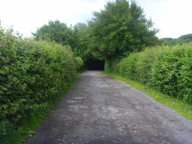
Abbey Road in Telford and Wrekin, Wellington is a residential street and it runs in an east-west direction starting from Churchill Road and ends at Dawley Road. Abbey Road also exists in West of England, Cambridgeshire and Peterborough, Liverpool City Region, Greater Lincolnshire and Devon and Torbay.
- Road Type
- residential street
- Speed Limit
- 30 mph
- Route
- east-west
Image
Pubs
Computer shops
Off-licences
Cafés
Bicycle shops
Bus stops
Fast food restaurants
Convenience stores
Hairdressers
Newsagent's
Butcher's
DIY stores
Sports shops
Chemist's
Roads nearby
Hayes Road100 m
Valley Road150 m
Churchill Road150 m
Dawley RoadDawley Road, Char Char, Loco, T & M Parts & Tools
150 m
Festival Gardens150 m
Mount Gilbert200 m
Hillside Close200 m
Birchwood Close250 m
Wellings Grove250 m
Bayley Road250 m
Toll Road300 m
Manor Road300 m
Primrose Grove350 m
Elmwood Road350 m
Mary Lewis Close350 m
Forester Grove350 m
Griffin Drive350 m
John Broad Avenue350 m
Kingsway Crescent350 m
Stone Crescent400 m
KingslandPC Stop, Sidhu, Slick Cutz, The Vanity Room, Zee's Halal Meat
400 m
Arleston Manor DriveKetley Dingle Interchange
400 m
Arelston Village400 m
Charles Road450 m
Princess AvenueArleston
450 m
St Giles Close450 m
Chartwell Road500 m
Woollam Road500 m
Arleston Lane550 m
Watling Street600 m
Arleston Manor Mews600 m
Windsor Road600 m
Windsor Court600 m
Lidgates Green650 m
Hornbeam Close650 m
Manor Rise700 m
Arleston Avenue750 m
Harvey Crescent800 m
Car dealerships nearby
A & P Motors650 m
Car washes nearby
IMO Car Wash850 m
Community centres nearby
Arleston Community Centre500 m
Convenience stores nearby
One Stop500 m
Fast food restaurants nearby
Domino's650 m
Petrol stations nearby
Tesco800 m
Recreation grounds nearby
John Broad Play Ground300 m
Windsor Road playground650 m
Retail areas nearby
Wrekin Retail Park750 m
Supermarkets nearby
B&M800 m
Tesco Extra800 m
Public transport map Wellington Legend
| Railway | |
| Bus | |
| Tram |
Cycling map Wellington Legend
| Cycle path | |
| Cycle lane on road | |
| Cycling on bus lane | |
| Bicycle street | |
| Cyclists allowed | |
| Cyclists allowed, good surface | |
| No cycling | |
| Cobblestones |
| Long-distance cycle route | (depending on scale) | |
| Long-distance cycle route |
Walking map Wellington Legend
| Path |
| Long-distance hiking trail | (depending on scale) | |
| Long-distance hiking trail | ||
| No pedestrians |