Waverley

This page is the City map of Waverley, a non-metropolitan district in Surrey, England, showing streets, paths and places across the region. Waverley covers approximately 345.2 square kilometres and had about 130,063 residents in 2022. The district was established in 1974 and includes 21 subregions, ranging from the towns of Farnham, Godalming and Haslemere to smaller villages and civil parishes. Between 2012 and 2022, the population increased from approximately 121,900 to 130,063.

City map Waverley
Charlesdrakew, Public domain – Wikimedia Commons
City map Ewhurst
Basher Eyre, CC BY-SA 2.0 – Wikimedia Commons

Ewhurst

Ewhurst is a village and civil parish in Surrey within the Waverley district. The subregion has a recorded population of 2,632 and covers approximately 23.79 square kilometres.

Ewhurst lies in the Surrey countryside between Cranleigh and the Surrey Hills. Its administrative designation is level 10, placing the village and parish below Waverley’s district administration.
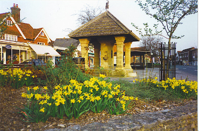
City map Cranleigh
Colin Smith, CC BY-SA 2.0 – Wikimedia Commons

Cranleigh

Cranleigh is a village and civil parish in Surrey and is one of the larger settlements in Waverley. It has a recorded population of 12,702 and an area of approximately 32.78 square kilometres.

The settlement is located south-east of Guildford and near the River Wey’s southern Surrey catchment. Cranleigh’s status as an administrative level 10 subregion covers the village and its surrounding parish area.

City map Wonersh
Clare, CC BY-SA 2.0 – Wikimedia Commons

Wonersh

Wonersh is a village and civil parish in Surrey, situated within the Waverley district. The subregion has a population of 3,453 and covers approximately 17.18 square kilometres.

Wonersh lies close to Guildford and to the villages of Bramley and Cranleigh. Its level 10 administrative area includes the village and the surrounding Surrey parish landscape.

City map Bramley
Clare, CC BY-SA 2.0 – Wikimedia Commons

Bramley

Bramley is a village and civil parish in Surrey within Waverley. It has a recorded population of 3,538 and covers approximately 18.87 square kilometres.

The village is located south of Guildford, near Wonersh and the western side of the Surrey Hills. Bramley is represented in the regional structure as an administrative level 10 subregion.

City map Alfold
Colin Smith, CC BY-SA 2.0 – Wikimedia Commons

Alfold

Alfold is a village in Waverley, Surrey, with a recorded population of 1,145. Its area is approximately 15.10 square kilometres.

The village lies in the western part of Waverley, close to the boundary with West Sussex. Alfold is classified as an administrative level 10 subregion within the Surrey district.

City map Dunsfold
Grayswoodsurrey, CC BY-SA 4.0 – Wikimedia Commons

Dunsfold

Dunsfold is a village in Surrey and forms part of the Waverley district. It has a recorded population of 1,122 and an area of approximately 16.06 square kilometres.

Dunsfold is located west of Godalming and near Alfold in the western Surrey countryside. The settlement is recorded as an administrative level 10 subregion.

City map Hascombe
Shazz, CC BY-SA 2.0 – Wikimedia Commons

Hascombe

Hascombe is a village and civil parish in Surrey within Waverley. The subregion has a recorded population of 302.

It lies south-west of Godalming and near the villages of Bramley and Dunsfold. Hascombe is classified as an administrative level 10 area in the regional structure.

City map Godalming
Humphrey Bolton, CC BY-SA 2.0 – Wikimedia Commons

Godalming

Godalming is a town in the Borough of Waverley in Surrey, with a recorded population of 66,773 and an area of approximately 9.68 square kilometres. The town is located on the River Wey, which flows northwards through Surrey towards the Thames.

Godalming is one of Waverley’s principal urban settlements and lies south-west of Guildford. Its administrative designation is level 10, and the town is closely associated with neighbouring areas including Munstead and Tuesley.

City map Munstead and Tuesley
Hassocks5489, CC0 – Wikimedia Commons

Munstead and Tuesley

Munstead and Tuesley is an area of Godalming in Waverley, Surrey. It has a recorded population of 779 and is classified as an administrative level 10 subregion.

The area lies alongside the town of Godalming in the western part of the district. Its location places it within the wider River Wey landscape of Surrey.

City map Elstead
Ainslie, CC BY-SA 3.0 – Wikimedia Commons

Elstead

Elstead is a village and civil parish in Surrey within Waverley. The parish has a recorded population of 2,544 and covers approximately 11.04 square kilometres.

Elstead lies north-west of Godalming and near the River Wey. It is recorded as an administrative level 10 subregion within the district.

City map Witley and Milford
see below, CC BY-SA 2.0 – Wikimedia Commons

Witley and Milford

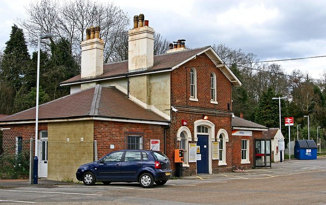
Witley and Milford is a village area in Waverley, Surrey, with a recorded population of 8,050. The subregion covers approximately 27.76 square kilometres.

It lies south of Godalming and near the Surrey settlements of Elstead and Haslemere. Witley and Milford is classified as an administrative level 10 subregion.

City map Chiddingfold
Charlesdrakew, Public domain – Wikimedia Commons

Chiddingfold

Chiddingfold is a village and civil parish in Surrey within the Waverley district. It has a recorded population of 2,211 and covers approximately 28.18 square kilometres.

The village is situated in the south-west of Surrey, close to the border with West Sussex. Chiddingfold is recorded as an administrative level 10 subregion.

City map Hambledon
Humphrey Bolton, CC BY-SA 2.0 – Wikimedia Commons

Hambledon

Hambledon is a village in Surrey and part of Waverley. It has a recorded population of 770 and an area of approximately 11.11 square kilometres.

The village lies south-east of Godalming and near the Surrey Hills landscape. Hambledon is classified as an administrative level 10 subregion within Waverley.

City map Thursley
Grayswoodsurrey, CC BY-SA 4.0 – Wikimedia Commons

Thursley

Thursley is a village in Surrey within the Waverley district. The subregion has a recorded population of 633 and covers approximately 19.85 square kilometres.

Thursley lies south of Godalming and near the extensive heathland of Thursley Common in Surrey. It is recorded as an administrative level 10 subregion.

City map Peper Harow
Grayswoodsurrey, CC BY-SA 4.0 – Wikimedia Commons

Peper Harow

Peper Harow is a village and civil parish in Surrey. The small Waverley subregion has a recorded population of 297 and covers approximately 5.34 square kilometres.

It lies west of Godalming near the River Wey and the villages of Milford and Hambledon. Peper Harow is classified as an administrative level 10 subregion.

City map Haslemere
Charlesdrakew, Public domain – Wikimedia Commons

Haslemere

Haslemere is a town in Surrey with a recorded population of 16,826 and an area of approximately 23.27 square kilometres. It is located in the south-west of the county near the borders with Hampshire and West Sussex.

The town stands among the wooded hills of the Surrey Hills and is connected to the surrounding settlements of Witley, Milford and Chiddingfold. Haslemere is recorded as an administrative level 10 subregion within Waverley.

City map Churt
Ben Gamble, CC BY-SA 2.0 – Wikimedia Commons

Churt

Churt is a village and civil parish in Surrey within Waverley. It has a recorded population of 1,157 and covers approximately 4.68 square kilometres.

The village lies south-west of Farnham and close to the Surrey–Hampshire border. Churt is classified as an administrative level 10 subregion.

City map Frensham
David Leeming, CC BY-SA 2.0 – Wikimedia Commons

Frensham

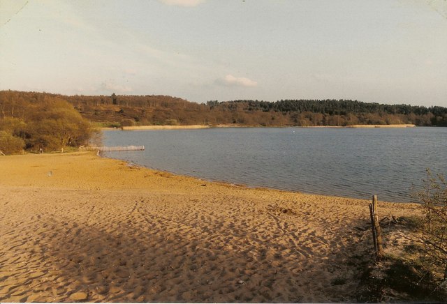
Frensham is a village and civil parish in Surrey with a recorded population of 1,699. Its area is approximately 16.21 square kilometres.

The parish is located south-west of Farnham and includes Frensham Great Pond and Frensham Little Pond, two well-known bodies of water on the Surrey heathland. Frensham is recorded as an administrative level 10 subregion.

City map Farnham
Colin Smith, CC BY-SA 2.0 – Wikimedia Commons

Farnham

Farnham is a town in Surrey with a recorded population of 25,604 and an area of approximately 36.52 square kilometres. The town lies on the western edge of Waverley near the Hampshire border.

Farnham is known for Farnham Castle, a medieval castle founded by Henry of Winchester in the 12th century, and for its position beside the River Wey. It is one of the largest towns in Waverley and is classified as an administrative level 10 subregion.

City map Tilford
SuzanneKn at en.wikipedia, Public domain – Wikimedia Commons

Tilford

Tilford is a village and civil parish in Surrey within the Waverley district. It has a recorded population of 832 and covers approximately 9.87 square kilometres.

The village lies south-west of Farnham at the meeting of the North Branch and South Branch of the River Wey. Tilford is classified as an administrative level 10 subregion.

City map Dockenfield
Graham Clutton, CC BY-SA 2.0 – Wikimedia Commons

Dockenfield

Dockenfield is a village in Surrey and forms part of Waverley. It has a recorded population of 456 and covers approximately 2.73 square kilometres.

The village lies south-west of Farnham near Frensham and the Surrey–Hampshire border. Dockenfield is recorded as an administrative level 10 subregion.

Data sources: OpenStreetMap (ODbL), Wikidata (CC0) · Image: Wikimedia Commons

Waverley – Facts

Inhabitants 130063
Area 345.2 km²
Subregions 21
Inception 1974
Located in Surrey
Country United Kingdom
Website https://www.waverley.gov.uk/

Data source: Wikidata (CC0)

Important and frequently searched streets
Seale Road