
Catherine Road in Newbury, Berkshire
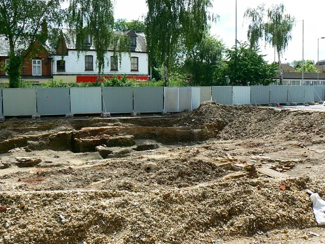
Catherine Road in West Berkshire, Newbury is an asphalted, lit residential street. The road has sidewalks. It runs in a north-south direction and crosses St. Donat's Place and ends at St. John's Road, while the other end is a cul-de-sac. Catherine Road also exists in Greater Manchester, Greater London, West Midlands, North East and West Yorkshire.
- Road Type
- residential street
- Speed Limit
- 30 mph
- Route
- north-south
Image
Charging stations
Fast food restaurants
Tattoo studios
Post offices
ATMs
Bus stops
Platforms
Stations
Places of worship
Pubs
Restaurants
Nightclubs
Convenience stores
Roads nearby
Link Road100 m
Prospect Place250 m
Station RoadNewbury Station, Newbury
250 m
Newtown RoadFair Close, Fair Close (Opp), Priory Road (Opp), Porchester Road, Friars Road, Priory Road, Porchester Road (Opp), Friars Road (Opp), The Oaks, Kiki's Cafe, The Oaks (Opp)
300 m
St Johns Roundabout300 m
Argyle Roadubitricity
300 m
Bartholomew Court300 m
Derby Road300 m
Saint Michael's Road350 m
Bartholomew StreetTimpson, ArtyFartyStuff, Tiny Town Cafe, Brow Bar, The Cutting Bar, The Treatment Rooms, Aladins Cave, The Coat & Bear, Your Convenience
350 m
Eight Bells Shopping ArcadeRio's
350 m
Old Newtown Road350 m
Barnes Terrace350 m
Kyftle Court350 m
St Johns Gardens350 m
Thurlow Grange400 m
Hampton Road400 m
Pound StreetArgyle Road, Black Rabbit Tattoo Collective, The Co-operative Food
400 m
Shops nearby
Hiller & Wilson300 m
Hair Off The Dog Groomers300 m
Bakeries nearby
Hethertons Bakery300 m
Beauty salons nearby
Anh Nails300 m
Bookmakers nearby
BetZone350 m
Buildings nearby
West Berkshire Mencap200 m
Ginchey300 m
octopus300 m
Convenience stores nearby
Balbinka300 m
The Fresh300 m
Lotus Off Licence and Convenience Store300 m
Newbury Town Convenience Store300 m
Premier Express350 m
Fast food restaurants nearby
China Garden250 m
The Fat Pizza300 m
Caprinos Pizza300 m
Chop Suey House350 m
Hairdresser's nearby
Cut & Shave300 m
B Side Barbers & Records300 m
Hardware shops nearby
Barry Forkin / Toomers350 m
Houses nearby
Bartholomew Manor350 m
Office buildings nearby
Netqubate250 m
ascentia250 m
Places of worship nearby
St John the Evangelist250 m
Pubs nearby
The Nags Head300 m
Railway lines nearby
Reading to Plymouth Line350 m
Restaurants nearby
Indigo Bay350 m
Khon Kaen350 m
School buildings nearby
Saint Nicolas C of E Junior School150 m
Social facilities nearby
Fair Close Centre200 m
Argyles Care Home350 m
Tailors nearby
Cloth & Scissors300 m
 Public transport map Newbury Legend
| Railway | |
| Bus | |
| Tram |
 Cycling map Newbury Legend
| Cycle path | |
| Cycle lane on road | |
| Cycling on bus lane | |
| Bicycle street | |
| Cyclists allowed | |
| Cyclists allowed, good surface | |
| No cycling | |
| Cobblestones |
| Long-distance cycle route | (depending on scale) | |
| Long-distance cycle route |
 Walking map Newbury Legend
| Path |
| Long-distance hiking trail | (depending on scale) | |
| Long-distance hiking trail | ||
| No pedestrians |