
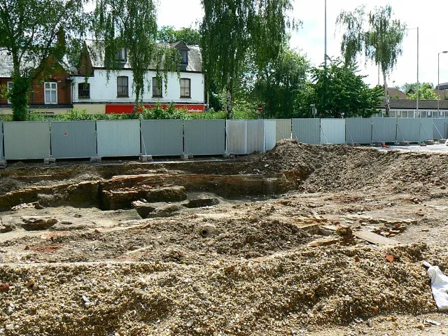
Market Street in Newbury, Berkshire
Market Street in West Berkshire, Newbury is a two-lane, asphalted, lit minor road. The road has a sidewalk. There is a parking ban on some sections. There is no cycle path. It runs in an east-west direction starting from Bartholomew Street and crosses Cheap Street and Mayors Lane. In the vicinity, you can find among other things a restaurant and a pub. The bus lines 2, 4, 4a, 5, 5A, 6, 6a, 7, 7A and 32 serve this stop. Market Street also exists in Herefordshire, Suffolk, Hertfordshire, Norfolk and Rutland.
- Road Type
- minor road
- Speed Limit
- 20 mph
- Route
- east-west
Image
Restaurants
Bus stops
- bus lines 2, 4, 4a, 5, 5A, 6, 6a, 7, 7A, 32
Roads nearby
Oddfellows Road150 m
Mulberry Court200 m
The Maltings200 m
Town Mills250 m
Kimbers Close250 m
West Mills Yard250 m
West Mills250 m
Swan Court300 m
Northcroft LaneEbb and Flow
350 m
Bolton Place350 m
Pembroke Road400 m
West StreetThe Lion, Halford House Dentist, Lebanese House
400 m
Shops nearby
ressance50 m
Apartment buildings nearby
Retirement apartments150 m
Banks nearby
Lloyds Bank300 m
Beauty salons nearby
Nail Bar150 m
Star Nails & Beauty200 m
Buildings nearby
Academy Insurance50 m
TaxAssist Accountants100 m
Willow & Blooms100 m
Campion House150 m
Fisher House150 m
Horsely Lightly Solicitors200 m
Cafés nearby
Bumbles100 m
The Ugly Duckling Pottery Painting Cafe200 m
Canals nearby
Kennet and Avon Canal250 m
Charity shops nearby
The Salvation Army350 m
Clothing shops nearby
trutex150 m
True to You Wedding Boutique200 m
Community centres nearby
St Nicolas Church Hall200 m
Delicatessens nearby
Chego's200 m
Fast food restaurants nearby
Chick-King100 m
Pizza 2 Night100 m
Gallery nearby
Make Art Not War200 m
Hairdresser's nearby
busby's hair & beauty200 m
Air Hair Co.250 m
Holiday apartment nearby
The Regal150 m
Places of worship nearby
St Nicolas Parish Church200 m
The Salvation Army - Newbury350 m
Pubs nearby
Coopers Arms100 m
The Newbury150 m
The Weirside Free House250 m
Lock Stock & Barrel300 m
Residential areas nearby
Oddfellows Heights150 m
Restaurants nearby
Ezo cafe200 m
Goat on the Roof300 m
Retail buildings nearby
Brebis150 m
Shopping malls nearby
Kennet Centre50 m
Sports shops nearby
Wilds Sport150 m
Public transport map Newbury Legend
| Railway | |
| Bus | |
| Tram |
Cycling map Newbury Legend
| Cycle path | |
| Cycle lane on road | |
| Cycling on bus lane | |
| Bicycle street | |
| Cyclists allowed | |
| Cyclists allowed, good surface | |
| No cycling | |
| Cobblestones |
| Long-distance cycle route | (depending on scale) | |
| Long-distance cycle route |
Walking map Newbury Legend
| Path |
| Long-distance hiking trail | (depending on scale) | |
| Long-distance hiking trail | ||
| No pedestrians |