
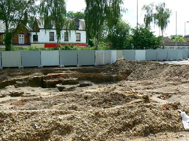
St. Michael's Road in Newbury, Berkshire
St. Michael's Road in West Berkshire, Newbury is an asphalted residential street (also known as St. Michaels Road). The road has sidewalks. It runs in an east-west direction starting from Rockingham Road and crosses St David's Road, St. Nicholas' Road and Kyftle Court and ends at Barnes Terrace. St. Michael's Road is also known as St. Michaels Road. St. Michael's Road also exists in South Yorkshire and West Yorkshire.
- Alternative Name
- St. Michaels Road
- Road Type
- residential street
- Speed Limit
- 20 mph
- Route
- east-west
Image
Tattoo studios
Charging stations
Restaurants
Dentist
ATMs
Platforms
Bus stops
Stations
Convenience stores
Pubs
Fast food restaurants
Places of worship
Post offices
Charity shops
Roads nearby
Kyftle Court50 m
Barnes Terrace50 m
Saint Michael's Road100 m
Bartholomew StreetTimpson, ArtyFartyStuff, Tiny Town Cafe, Brow Bar, The Cutting Bar, The Treatment Rooms, Aladins Cave, The Coat & Bear, Your Convenience
150 m
Bartholomew Court150 m
Pound StreetArgyle Road, Black Rabbit Tattoo Collective, The Co-operative Food
150 m
Eight Bells Shopping ArcadeRio's
150 m
Argyle Roadubitricity
150 m
Station RoadNewbury Station, Newbury
150 m
Newtown RoadFair Close, Fair Close (Opp), Priory Road (Opp), Porchester Road, Friars Road, Priory Road, Porchester Road (Opp), Friars Road (Opp), The Oaks, Kiki's Cafe, The Oaks (Opp)
250 m
Hampton Road300 m
Link Road300 m
Derby Road350 m
St Johns Roundabout350 m
Prospect Place350 m
Old Newtown Road400 m
Thurlow Grange400 m
St Johns Gardens400 m
Shops nearby
Hair Off The Dog Groomers100 m
Hiller & Wilson150 m
Bakeries nearby
Hethertons Bakery150 m
Beauty salons nearby
Anh Nails100 m
Bookmakers nearby
BetZone100 m
Buildings nearby
Ginchey150 m
octopus150 m
West Berkshire Mencap350 m
Convenience stores nearby
Newbury Town Convenience Store100 m
Lotus Off Licence and Convenience Store100 m
The Fresh150 m
Balbinka150 m
Premier Express400 m
Fast food restaurants nearby
Caprinos Pizza100 m
The Fat Pizza150 m
Chop Suey House150 m
China Garden150 m
Hairdresser's nearby
Cut & Shave100 m
B Side Barbers & Records100 m
Hardware shops nearby
Barry Forkin / Toomers100 m
Houses nearby
Bartholomew Manor150 m
Office buildings nearby
ascentia150 m
Netqubate150 m
Places of worship nearby
St John the Evangelist350 m
Pubs nearby
The Nags Head150 m
Railway lines nearby
Reading to Plymouth Line50 m
Restaurants nearby
Indigo Bay100 m
Khon Kaen150 m
School buildings nearby
Saint Nicolas C of E Junior School250 m
Social facilities nearby
Argyles Care Home150 m
Fair Close Centre250 m
Tailors nearby
Cloth & Scissors150 m
 Public transport map Newbury Legend
| Railway | |
| Bus | |
| Tram |
 Cycling map Newbury Legend
| Cycle path | |
| Cycle lane on road | |
| Cycling on bus lane | |
| Bicycle street | |
| Cyclists allowed | |
| Cyclists allowed, good surface | |
| No cycling | |
| Cobblestones |
| Long-distance cycle route | (depending on scale) | |
| Long-distance cycle route |
 Walking map Newbury Legend
| Path |
| Long-distance hiking trail | (depending on scale) | |
| Long-distance hiking trail | ||
| No pedestrians |