
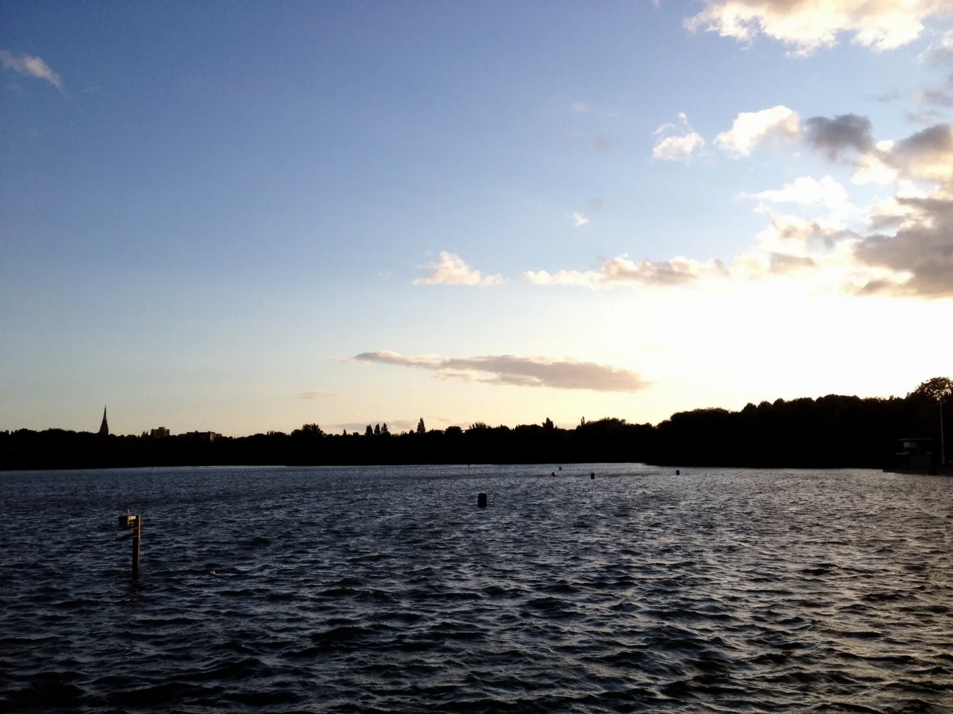
Edgbaston Reservoir in Birmingham
Edgbaston Reservoir in Birmingham is a body of water (British Waterways). Edgbaston Reservoir is also known as Rock Pool Reservoir. Ⓦ.
- Nature
- body of water
- Operator
- British Waterways
- Website
- https://industrialtour.co.uk/edgbaston-reservoir/
Image
Roads nearby
Marroway Street100 m
Coplow Street150 m
Summerfield Crescent200 m
Icknield Port Road Bridge North200 m
Link Road200 m
Gillott Road200 m
The Hollies250 m
The Laurels250 m
Coplow Cottages300 m
The Limes300 m
The Elms300 m
Icknield Port Road Bridge South350 m
Rotton Park Street400 m
Shire Close450 m
Palomino Place500 m
Clark Street500 m
Icknield Port RoadIcknield Port Rd / Osler St, Wood St / Ladywood Fire Station, Icknield Port Rd / Summerfield Crescent, Icknield Port Rd / Gillott Rd, CC, CD, Icknield Port Rd / Wiggin St
500 m
Reservoir RoadReservoir Cafe, Stockland Green Post Office, Reservoir Rd / Slade Rd, Reservoir Rd / Nately Grove, Reservoir Rd / Milverton Rd, Reservoir Rd / Milverton Road, Reservoir Rd / Northcroft Hospital
500 m
The Grove500 m
Ascot Close550 m
Osler Street550 m
Leslie Road550 m
Shetland Close550 m
Daisy Road550 m
Pinto Close600 m
Mostyn Road600 m
Sefton Road600 m
Coxwell Gardens650 m
Oliver Road650 m
Eldon Road700 m
Clipper View700 m
Buildings nearby
The H Suite150 m
Buildings nearby
Midland Sailing Club50 m
Reservoir Cottage100 m
Race Box200 m
Rewata Dhamma Hall400 m
T.S. Vernon400 m
Reservoir Lodge500 m
Canals nearby
Icknield Port Loop Canal300 m
Car repair shops nearby
Dynamic Performance150 m
Industrial areas nearby
Icknield Port250 m
Kindergartens nearby
Early Days Nursery750 m
Parks nearby
Marroway Street Play Area150 m
Osler Street Play Area600 m
Petrol stations nearby
Murco200 m
Places of worship nearby
Christ Church300 m
The Dhammatalaka Pagoda400 m
Pubs nearby
The Belle Vue150 m
Sports pitches nearby
Mount Pleasant Working Mens Club650 m
| Elevation | 151 m |
|---|---|
| Located in | Birmingham |
| Country | United Kingdom |
 Public transport map Birmingham Legend
| Railway | |
| Bus | |
| Tram |
 Cycling map Birmingham Legend
| Cycle path | |
| Cycle lane on road | |
| Cycling on bus lane | |
| Bicycle street | |
| Cyclists allowed | |
| Cyclists allowed, good surface | |
| No cycling | |
| Cobblestones |
| Long-distance cycle route | (depending on scale) | |
| Long-distance cycle route |
 Walking map Birmingham Legend
| Path |
| Long-distance hiking trail | (depending on scale) | |
| Long-distance hiking trail | ||
| No pedestrians |