
Castle Street in Metropolitan Borough of Dudley
Castle Street in Dudley is a single-lane, lit tertiary road. It runs in a northeast-southwest direction starting from High Street and crosses New Street, Fisher Street and The Broadway and ends at Castle Hill. In the vicinity, you can find among other things 2 pubs, an artwork, a carpet shop and a restaurant. The nearest stops are DY12 Castle St / St Edmunds Church, Castle St / Vicarage Rd and Castle St / Roseville Square. The bus lines 1, 2, 2A, 5, 5A, 8, 11, 11A, 14, 17, 17A, 27, 27A, 42, 52, 81, 82, 87, 126, 223, 229 and X8 serve this stop. Castle Street also exists in Coventry, Birmingham, Sandwell and Wolverhampton.
- Road Type
- tertiary road
- Lanes
- 1
- Route
- northeast-southwest
Image
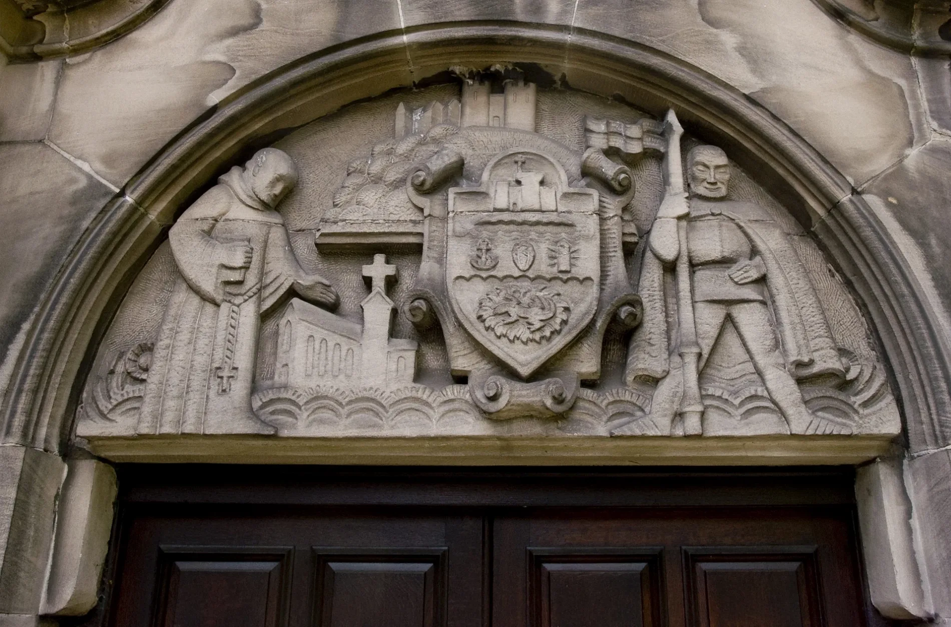
Carpet shops
Bus stops
- bus lines 1, 2, 2A, 5, 5A, 8, 11, 11A, 14, 17, 17A, 27, 27A, 42, 52, 81, 82, 87, 126, 223, 229, X8
Restaurants
Roads nearby
Priory Court200 m
New StreetDY10 New St / Priory St, William Hill, DY11, The White Horse, New Street News & Food & Off-Licence, Wall Heath, Dudley, New St / Tower St, Duncan Edwards (1936-1958)
200 m
Saracen's Court250 m
Priory RoadDY9, Priory Rd / Woodland Avenue, The Return of Dorothy Round, Priory Rd / King Arthur, Priory Rd / Mayfield Rd, Priory Rd / Hazel Rd, Priory Rd / Bluebell Rd
250 m
Fountain ArcadeKirner Jewellers, Pep&Co, Lyn's Cake Corner
250 m
Stone StreetDudley Building Society, Kip McGrath Tutoring
300 m
Stone Street SquarePriory St / Stone Street, The Old Glass House, Anston Physiotheraphy
300 m
Priory Street300 m
Art galleries nearby
Shawn's Art and Craft Store300 m
Banks nearby
Castle & Crystal Credit Union200 m
Beauty salons nearby
Beauty Box250 m
Buildings nearby
Dudley College Evolve Campus200 m
Hearing Aid Centre Dudley200 m
Matthew Southall Potato Merchants200 m
Foot Master200 m
Priory House200 m
Dudley Council House250 m
Adecco250 m
Dixons Estate Agents250 m
Billingham Taylor250 m
S&M Translations300 m
Centre for Equality & Diversity300 m
Access Staff300 m
Cafés nearby
Cornerstone Tea Room150 m
Cafe Pars150 m
Dessert Corner200 m
Caffe Grande300 m
Convenience stores nearby
CP & Sons200 m
Naik's Mini Market200 m
Fast food restaurants nearby
Panda Paradise150 m
Pars Kebab200 m
Chick A Filla200 m
Florist's nearby
Deana Ann Flowers200 m
Hairdresser's nearby
Dunn's Gent's Hairdressers200 m
James Hairdressing200 m
Dunn's Ladies Hairdressers200 m
David Dunn Hair200 m
Baxter's200 m
Blade Hair and Beauty300 m
Newsagent's nearby
MSB News & Off Licence150 m
Police stations nearby
Dudley Police Station200 m
Pubs nearby
The Court House150 m
The Old Priory200 m
The Charlton House200 m
Saracen's Head250 m
Restaurants nearby
Olive Tree250 m
Sports pitches nearby
Priory House Conservative200 m
Stationery shops nearby
Laura Elizabeth Crafts250 m
Needle & Pins250 m
Variety stores nearby
Poundland250 m
 Public transport map Dudley Legend
| Railway | |
| Bus | |
| Tram |
 Cycling map Dudley Legend
| Cycle path | |
| Cycle lane on road | |
| Cycling on bus lane | |
| Bicycle street | |
| Cyclists allowed | |
| Cyclists allowed, good surface | |
| No cycling | |
| Cobblestones |
| Long-distance cycle route | (depending on scale) | |
| Long-distance cycle route |
 Walking map Dudley Legend
| Path |
| Long-distance hiking trail | (depending on scale) | |
| Long-distance hiking trail | ||
| No pedestrians |