
Hall Street in Metropolitan Borough of Dudley
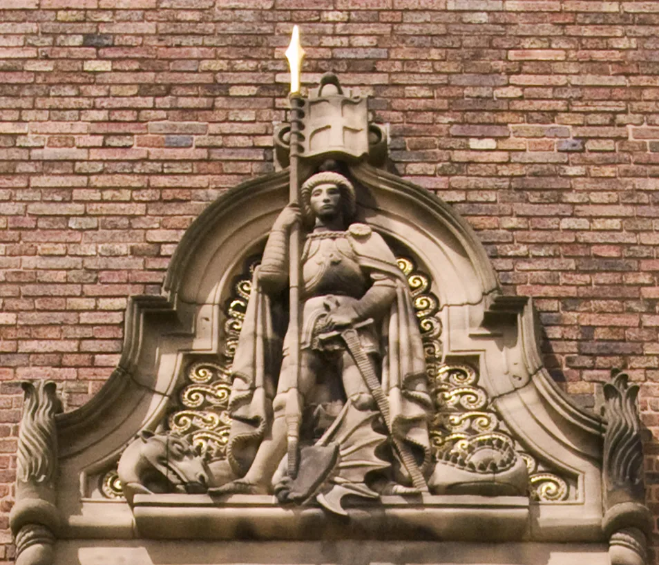
Hall Street in Dudley is a two-lane secondary road. It runs in a southeast-northwest direction starting from Trindle Road and crosses King Street, Dudley Row and North Street and ends at Waddam's Pool. This road is part of the foot routes Dudley Time Trail and Dudley Public Art Heritage Trail (Wolverton Road Trail). In the vicinity, you can find a kindergarten, a community centre and a butcher's. The nearest bus stop in the vicinity is North St / Dudley Citadel (approx. 100 m away). Hall Street also exists in Birmingham, Sandwell, Walsall and Wolverhampton.
- Road Type
- secondary road
- Lanes
- 2
- Route
- southeast-northwest
Image
Roads nearby
Emily Terrace100 m
North StreetNorth St / Dudley Citadel, Kumon, North Street Dental and Implant Clinic, Dudley, Salvation Army Foodbank, Brierley Hill Freight and Steel Terminal
150 m
Porter Street South200 m
Firs Street200 m
Leyland Drive200 m
Waddam's PoolBlacks Vets 24hr Hospital
250 m
Terry StreetA to Z taxis
250 m
Caroline Street350 m
Dixons Green RoadDixons Green Rd / St John'S Rd, Dixons Green Rd / New Rowley Rd, The Castle Fryer, Dixons Green Pharmacy
350 m
Perry Close350 m
Bean RoadDispharma Ltd
400 m
Brereton Close450 m
Peel Street450 m
Leveson Walk450 m
Dando Road450 m
Harley Grange450 m
Leveson Close500 m
Ardley Close500 m
Rollason Road500 m
Douglass Road550 m
Buildings nearby
RRR Accountancy100 m
Edward Gray's of Dudley100 m
Blacks Vets150 m
GJN Supplies Ltd.150 m
North Street Dental and Implant Clinic150 m
PPG Chartered Accountants200 m
Zicam Security200 m
DHJ Ironcraft200 m
Pine Court250 m
Whittaker Bros Ltd250 m
Central Clinic Dudley Surgery250 m
A to Z Taxis300 m
Clothing shops nearby
Abrar Fashion House350 m
Convenience stores nearby
Kaliq Supermarket350 m
St John's Superstore350 m
Caledonia Food and Wine500 m
Park and Shop550 m
Dental practices nearby
Purity Dentists600 m
Gardens nearby
Firs Street Community Garden250 m
Hairdresser's nearby
Mipuei Kate's Hill Barbers300 m
Houses nearby
Bannett Williams350 m
Industrial areas nearby
Alan Nuttall Ltd400 m
Light rail lines nearby
VLR Test Track100 m
Off-licences nearby
Quinton Off Licence500 m
Parks nearby
The Hawthorns Field350 m
Places of worship nearby
Dudley Citadel150 m
Dudley Christadelphian Hall250 m
Dixons Green Methodist Church300 m
Pubs nearby
Ex-servicemens Club (Dudley) Ltd150 m
Residential buildings nearby
Ranald Shaw450 m
 Public transport map Dudley Legend
| Railway | |
| Bus | |
| Tram |
 Cycling map Dudley Legend
| Cycle path | |
| Cycle lane on road | |
| Cycling on bus lane | |
| Bicycle street | |
| Cyclists allowed | |
| Cyclists allowed, good surface | |
| No cycling | |
| Cobblestones |
| Long-distance cycle route | (depending on scale) | |
| Long-distance cycle route |
 Walking map Dudley Legend
| Path |
| Long-distance hiking trail | (depending on scale) | |
| Long-distance hiking trail | ||
| No pedestrians |