
St James's Road in Metropolitan Borough of Dudley
St James's Road in Dudley is a tertiary road. It runs in an east-west direction starting from The Parade and crosses Trinity Road and Parsons Street and ends at Ednam Road. This road is part of the bicycle routes UK:National Cycle Network 54 and National Cycle Network 54 (removed). In the vicinity, you can find a museum, an artwork and a gallery. The nearest bus stop in the vicinity is Wolverhampton Street / Charlton St (approx. 150 m away).
- Road Type
- tertiary road
- Speed Limit
- 20 mph
- Route
- east-west
Image
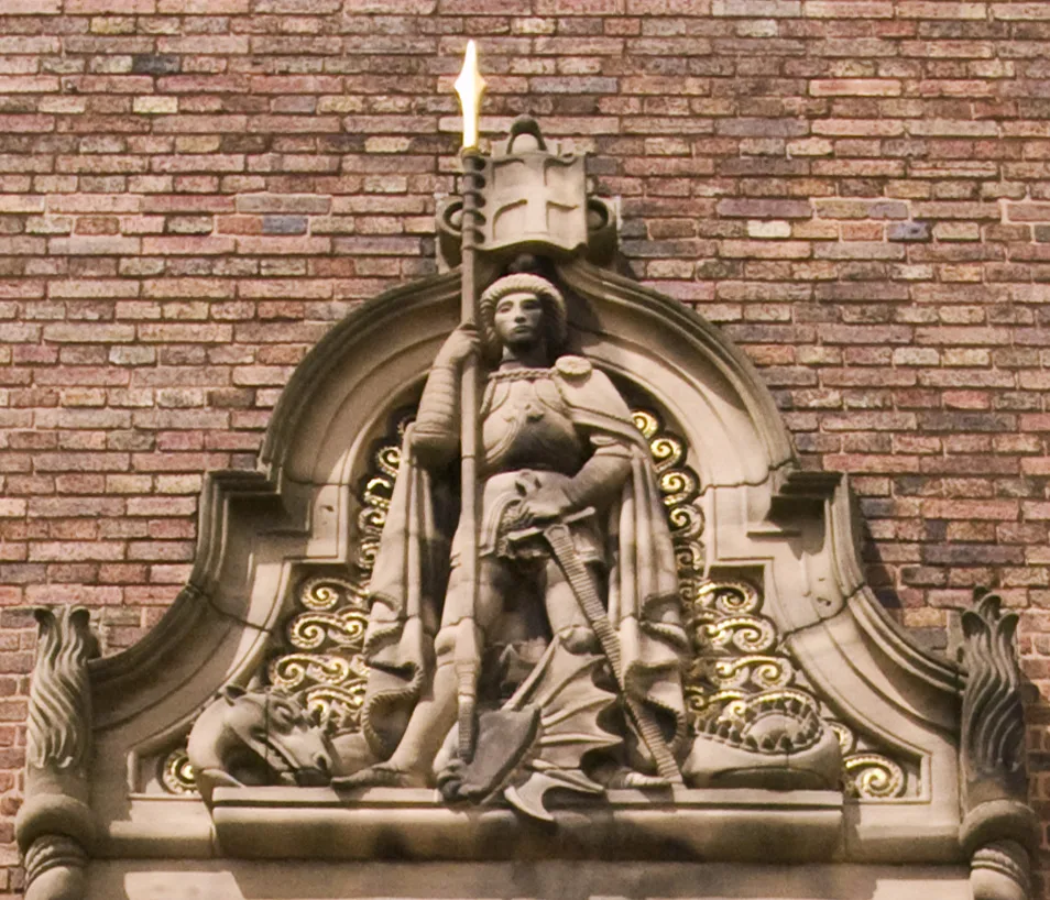
Museum
- Dudley Museum (web).
Gallery
Roads nearby
Belper100 m
Charlton Street150 m
Wolverhampton StreetWolverhampton Street / Charlton St, Direct Link Communications, Volume One, David's Cafe, Bonham & Butler, H&T Pawnbrokers, Gala Coffee Shop, Elite Sports & Leisure, Mary Steven's Hospice, Dudley Discounts, Bogarts Hair & Beauty, Raman's Hair & Beauty Salon, Nails 4 U, The Shrewsbury Arms, J.Hollins Jeweller, Goldsmith, Silversmith, Pawnbroker, Munch Inn, Amsterdamned, Wolverhampton Street / Grange Rd, Texaco, The Crown, Jaan's, Michael Supermarket, Old Meeting House Unitarian Chapel, Wolverhampton Street / Gads Lane
150 m
Stafford StreetStafford St / Wellington Rd, Stafford St / Steppingstone St
200 m
Trinity RoadTrinity Rd / Milton Close, Trinity Rd / Vicarage Rd Bridge
200 m
Tinchbourne Street200 m
Southalls Lane250 m
Alexandra Street250 m
School StreetPaper Palace
250 m
Gads Lane300 m
The Parade300 m
Cross StreetSpring Hill
300 m
Edward Street300 m
Priory Close350 m
Castle View350 m
Oxford Street350 m
Nelson Road350 m
The InhedgeInhedge / Magistrates Court
350 m
Russell Street400 m
Beckensall Close450 m
Horsley Lane450 m
Pitfield Row450 m
Stepping Stone Street450 m
Old Mill StreetThe Three Crowns, £1 Fresh Fruit & Vegetables, Blush, King's Takeaway
450 m
Pitfield Street500 m
Dock Lane500 m
Prince Albert Street500 m
Greystone PassageOld Dock
500 m
Great Hill500 m
Greystone Street550 m
Charlotte Street550 m
Shops nearby
A&T Carpets and Flooring200 m
Buildings nearby
Royal Mail200 m
Westox House250 m
Immigration Hub250 m
Waldron's Solicitors400 m
Cavendish Tate400 m
The Venue Confrencing & Banqueting Centre400 m
Dean & Co Solicitors400 m
Blush450 m
£1 Fresh Fruit & Vegetables450 m
Eye NHS Health Clinic450 m
King's Takeaway450 m
Butcher's nearby
Dudley Butchers200 m
Car repair shops nearby
Kwik Fit250 m
Courthouses nearby
Dudley Magistrates Court350 m
Places of worship nearby
St James, Eve Hill300 m
Sports centres nearby
Dudley Leisure Centre400 m
Supermarkets nearby
Asda500 m
 Public transport map Dudley Legend
| Railway | |
| Bus | |
| Tram |
 Cycling map Dudley Legend
| Cycle path | |
| Cycle lane on road | |
| Cycling on bus lane | |
| Bicycle street | |
| Cyclists allowed | |
| Cyclists allowed, good surface | |
| No cycling | |
| Cobblestones |
| Long-distance cycle route | (depending on scale) | |
| Long-distance cycle route |
 Walking map Dudley Legend
| Path |
| Long-distance hiking trail | (depending on scale) | |
| Long-distance hiking trail | ||
| No pedestrians |