
Bradlaugh Fields in Northampton
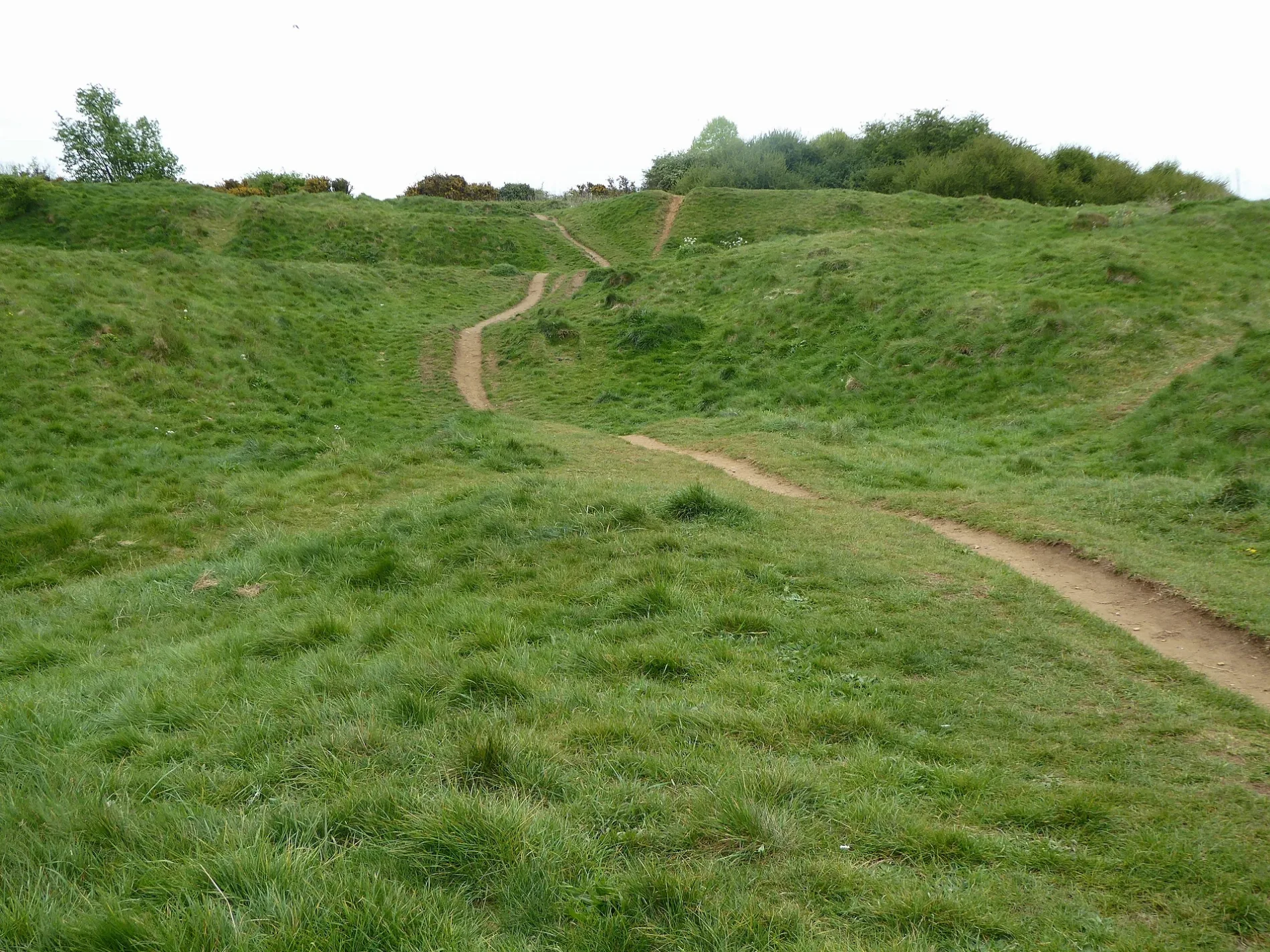
Bradlaugh Fields in West Northamptonshire, Northampton is a park. Bradlaugh Fields is near Anglia Way. Ⓦ.
- Leisure
- park
Image
Cafés
Hairdressers
Places of worship
Bakeries
Fast food restaurants
Bank
Beauty salons
Music shops
Supermarkets
Bus stops
Pharmacy
Convenience stores
Pubs
Social facility
Roads nearby
Stowe Walk100 m
Mallory Walk200 m
Rockingham Close250 m
Goodwood Avenue250 m
Bader Way250 m
Hickson Avenue250 m
Lavant Walk250 m
Brampton Walk250 m
Wilkins Close300 m
Derbyshire Drive300 m
Snetterton Close350 m
Druids Way350 m
Fawsley Way350 m
Everdon Drive350 m
Grendon Walk350 m
Campus Drive350 m
Oulton RiseOne Stop
350 m
Innes Way400 m
Ogilvie Avenue400 m
Shelsley Drive400 m
Anglia Way400 m
Devon Way450 m
Alwyn Close450 m
Woodcote Avenue450 m
North Road450 m
Kelmarsh Avenue550 m
Regal Close550 m
Kyoto Close600 m
Summerhouse Road650 m
Mansion Close650 m
Parklands Crescent650 m
Kings Park RoadNorthamptonshire Healthcare Alliance Pharmacy
700 m
Parklands Avenue700 m
Deer Park Road750 m
Scirocco Close750 m
Red House Road750 m
Hatton Close800 m
Tenter RoadCaptain Fingers
900 m
Stafford PlaceNikolas Bakery
950 m
Buildings nearby
King's Park Conference Centre400 m
Francis Crick House700 m
Community centres nearby
Parklands Community Centre500 m
Industrial areas nearby
G Park Northampton700 m
Northampton Science Park700 m
Industrial buildings nearby
Greencore (Uniq Prepared Foods)800 m
Greencore Unit D850 m
Greencore Unit A950 m
Sports centres nearby
Benham Sports Arena400 m
Warehouses nearby
Goodwill Solutions CIC850 m
| Country | United Kingdom |
|---|
 Public transport map Northampton Legend
 | Railway | |
| Bus | |
| Tram |
 Cycling map Northampton Legend
 | Cycle path | |
| Cycle lane on road | |
| Cycling on bus lane | |
| Bicycle street | |
| Cyclists allowed | |
| Cyclists allowed, good surface | |
| No cycling | |
| Cobblestones |
| Long-distance cycle route | (depending on scale) | |
| Long-distance cycle route |
 Walking map Northampton Legend
 | Path |
| Long-distance hiking trail | (depending on scale) | |
| Long-distance hiking trail | ||
| No pedestrians |