
Westbury Fish Bar in City of Bristol
Westbury Fish Bar in City of Bristol is a fish & chips Fast food restaurant, Church Road 14 (BS9 3EQ).
- House Number
- 14
- Postal Code
- BS9 3EQ
- Street
- Church Road
- Amenity
- fast food restaurant
- Building Type
- building
Image
Artwork
Butcher's
Public bookcases
Bus stops
Tourist information offices
Cafés
Post offices
Roads nearby
College RoadWestbury College, The Butcher's Hook, Statue of Earl Haig, The George Müller Museum
100 m
College Mews100 m
Westminstere Court100 m
Church RoadNorthcote Road, Bike Bristol, Vicarage Road, Stoke Hill, St Peter's Church, St. Johns Churchyard, Lawrence Hill, Gilbert Road, Blackswarth Road, Food Plus, Church Road, Jos Cafe, Coral, R. Davies & Son, Morrisons Daily, Bhshopsworth Pharmacy, Avon Tattoo, Aaron Carpets, Rich's Barbers, MC Pizza, Highridge Cafe, Sharon's Salon, Heber Street, Community Notice Board, Edward Street, Redfield, St George Community Noticeboard, Seneca Street, Burger Rush, The Co-operative Food, Global Collectables, Domino's, Dropouts Cycle Club
150 m
Passage RoadBrentry Lane, Brentry Hill, The Ridgeway
150 m
Watkins Yard200 m
Walton Rise200 m
Chock Lane250 m
Waters Lane250 m
Eastfield RoadWestbury Village Hall, Cheriton Place
250 m
Albert Place300 m
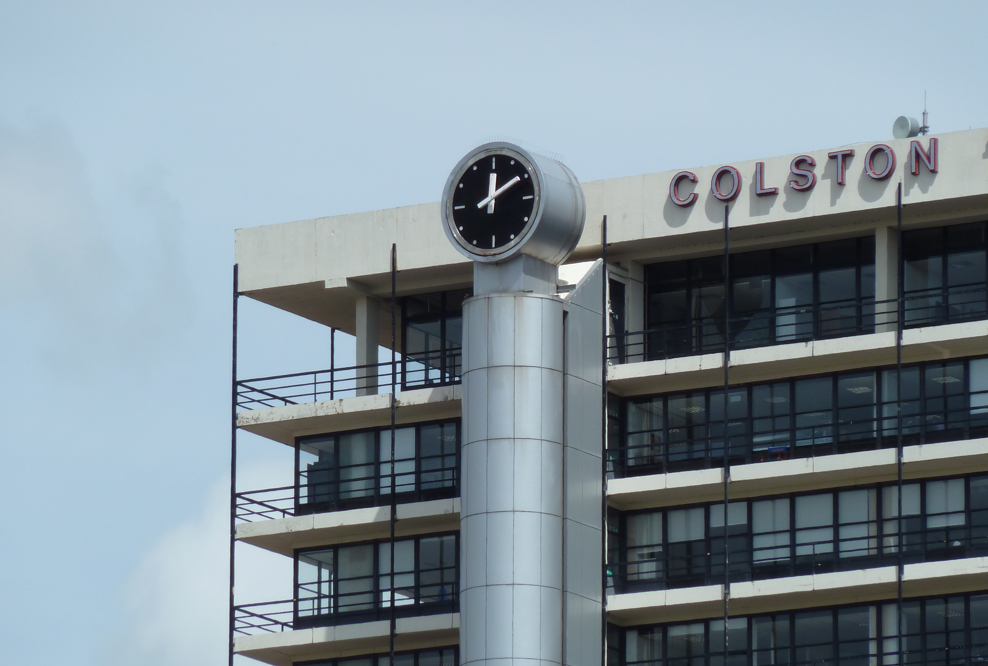
Trym RoadClock
300 m
Whytes Close300 m
Shipley Road300 m
Channells Hill300 m
Cote Lea Park350 m
Aust Lane350 m
Elmfield Road350 m
Pinewood Close350 m
Priory Court Road400 m
Greystoke Gardens450 m
Holmwood Gardens500 m
Greystoke AvenueGrasmere Close, Arnside Road, Ambleside Avenue, Welcome to the Community of Southmead, Greenway Pharmacy, Gosforth Road, Greystoke Avenue, Eastleigh Road (NE-bound), Southmead Library
500 m
Grasmere Close550 m
Cricket Lane600 m
Shops nearby
Classic Man100 m
Wot Pots450 m
Boutiques nearby
The Bridal Room50 m
Buildings nearby
Westbury College100 m
The Well100 m
Harold Stephens100 m
King & Partners; dumnonia100 m
The Villager Restaurant100 m
Fire Safe150 m
Cafés nearby
Crescent Cafe100 m
Commercial areas nearby
Rombourne Business Centre150 m
Community centres nearby
Westbury Village Hall250 m
Hairdresser's nearby
Westbury Barbering Company100 m
Nursing homes nearby
Hazelwood Gardens400 m
The Gardens400 m
The Westbury450 m
Pharmacies nearby
Jhoots Pharmacy100 m
Places of worship nearby
Holy Trinity, Westbury on Trym150 m
River Of Life Christian Centre200 m
Westbury & Heneaze Community Church300 m
Pubs nearby
White Lion150 m
The Mouse200 m
The Victoria250 m
Restaurants nearby
Goongnoi Thai Restaurant100 m
Woodlands nearby
Westbury Wildlife Park300 m
Public transport map City of Bristol Legend
| Railway | |
| Bus | |
| Tram |
Cycling map City of Bristol Legend
| Cycle path | |
| Cycle lane on road | |
| Cycling on bus lane | |
| Bicycle street | |
| Cyclists allowed | |
| Cyclists allowed, good surface | |
| No cycling | |
| Cobblestones |
| Long-distance cycle route | (depending on scale) | |
| Long-distance cycle route |
Walking map City of Bristol Legend
| Path |
| Long-distance hiking trail | (depending on scale) | |
| Long-distance hiking trail | ||
| No pedestrians |