
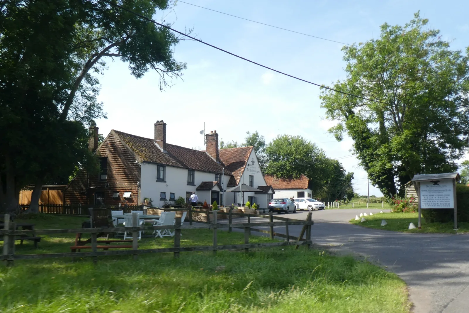
The Blacksmiths' Arms in Billingshurst
The Blacksmiths' Arms in Billingshurst in Horsham is a pub. The Blacksmiths' Arms is near Newstead Hall.
- Amenity
- pub
- Building Type
- building
Image
Tourist information offices
Fast food restaurants
Pubs
Platforms
Taxi ranks
Hofläden
Bus stops
Pharmacy
Roads nearby
Newstead Hall50 m
Walnut Tree CottagesAdversane
100 m
Westlands Lane350 m
Hadfold FarmHadfold Farm
750 m
Lordings Cottages800 m
Stane StreetAndrew's Hill, Six Acre Farm, Denham's Farm, Sothebys, A29 Barns Green Junction, A29 New Road, Parbrook, The Gables Restaurant, Blacksmiths Arms PH, Sayers Farm, Five Oaks, Borough Farm, Tisseran Farm, A29, Five Oaks Farm
1,2 km
Steepwood Lane1,2 km
Steepwood1,3 km
Steepwood FarmSteepwood Farm
1,3 km
Adversane Lane1,3 km
Lordings RoadThe Oaks, Newbridge Farm
1,4 km
Owl Close1,6 km
Laburnam Way1,6 km
Oak Road1,6 km
Bridgewater Close1,7 km
Billingshurst BypassSubway, Sbarro
1,7 km
Parbrook Roundabout1,7 km
Hawthorne Way1,7 km
Ash Lane1,7 km
The Brambles1,7 km
Honeysuckle Walk1,8 km
Groomsland Drive1,8 km
Cranham Avenue1,8 km
Streele Farm1,9 km
Body of waters nearby
Slurry Lagoon1,1 km
Buildings nearby
The Hub1,0 km
Workshops1,1 km
Equine Centre1,1 km
Colleges nearby
Construction & Engineering Dept.1,1 km
Commercial buildings nearby
Hepworth's Brewery800 m
Community centres nearby
Adversane Hall150 m
Industrial areas nearby
Sewage Pumping Station350 m
Timber Yard850 m
Muddle's Yard900 m
Builder's Yard1,1 km
Libraries nearby
Learning Resources Centre1,1 km
Plant nurseries nearby
Architectural Plants750 m
Railway lines nearby
Arun Valley Line300 m
Residential areas nearby
Adversane Caravan Park450 m
Streams nearby
Par Brook1,5 km
Brockhurst Brook1,6 km
Woodlands nearby
Hadfold Wood800 m
Little Lordings Wood900 m
Steepwood Copse1000 m
Marringdean Wood1,3 km
Rawstick Copse1,3 km
Steepwood Rough1,4 km
Lording's Rough1,4 km
Great Lordings Wood1,4 km
| Heritage designation | Grade II listed building |
|---|---|
| Located in | Billingshurst |
| Country | United Kingdom |
 Public transport map Billingshurst Legend
| Railway | |
| Bus | |
| Tram |
 Cycling map Billingshurst Legend
| Cycle path | |
| Cycle lane on road | |
| Cycling on bus lane | |
| Bicycle street | |
| Cyclists allowed | |
| Cyclists allowed, good surface | |
| No cycling | |
| Cobblestones |
| Long-distance cycle route | (depending on scale) | |
| Long-distance cycle route |
 Walking map Billingshurst Legend
| Path |
| Long-distance hiking trail | (depending on scale) | |
| Long-distance hiking trail | ||
| No pedestrians |