
St. Mary in Dinton, Wiltshire
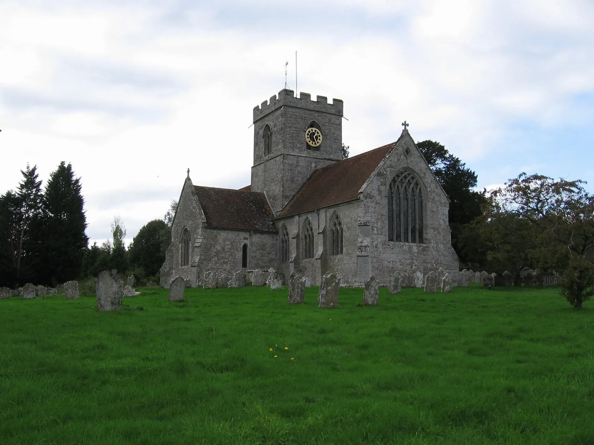
St. Mary in Wiltshire, Dinton is a Anglicana church. It is near Steep Hollow and is also known as St Mary's Church, Dinton, Wiltshire. The church belongs to the Diocese of Salisbury and is dedicated to Mary. It is a listed building. St. Mary also exists in Kingston Deverill.
- Amenity
- place of worship
- Building Type
- church
Image
Pubs
Roads nearby
Steep Hollow100 m
St Mary's Close200 m
St Mary's Road200 m
Snow Hill300 m
Catherine Crescent400 m
Lovegrove Acre400 m
Fair View400 m
Tyndale's Meadow450 m
Dalwood Close500 m
Meadow Close500 m
Catherine Ford Road500 m
Clarendon Close700 m
Catherine Ford Lane750 m
Spracklands800 m
Bratch Lane800 m
Orchard Terrace850 m
MarshwoodMarshwood Farm Camping
1000 m
Catherine Ford Bridge1,0 km
Pembroke Fields1,0 km
Sandhills Road1,1 km
Dowtys Lane1,2 km
Field Barn Lane1,2 km
Long Meadow2,0 km
The Street2,1 km
Holt Lane2,1 km
Hindon Road2,2 km
Green Drove2,4 km
Leatler Close2,5 km
Church Lane2,6 km
Barns nearby
The Winery1,8 km
Buildings nearby
Dinton Cricket Club Hut200 m
Philipps House650 m
The Reading Room2,1 km
Community centres nearby
Dinton Village Hall750 m
Teffont Village Hall2,1 km
Farmyards nearby
Park Farm700 m
Mill Farm1,4 km
Forests nearby
Fovant Wood1,5 km
Houses nearby
Baverstock Manor1,9 km
Industrial areas nearby
MJ Abbotts (Drainage Contractor)1,0 km
Places of worship nearby
St Michael1,9 km
St Edith's Church1,9 km
St Edward's2,1 km
St George2,5 km
Railway lines nearby
West of England Line1,9 km
Rivers nearby
River Nadder1,2 km
Sports pitches nearby
Dinton Cricket Club200 m
tenn500 m
Woodlands nearby
Dinton Wood Storage Facility1,1 km
| Dedicated to | Mary |
|---|---|
| Diocese | Diocese of Salisbury |
| Heritage designation | Grade I listed building |
| Located in | Dinton |
| Country | United Kingdom |
 Public transport map Dinton Legend
 | Railway | |
| Bus | |
| Tram |
 Cycling map Dinton Legend
 | Cycle path | |
| Cycle lane on road | |
| Cycling on bus lane | |
| Bicycle street | |
| Cyclists allowed | |
| Cyclists allowed, good surface | |
| No cycling | |
| Cobblestones |
| Long-distance cycle route | (depending on scale) | |
| Long-distance cycle route |
 Walking map Dinton Legend
 | Path |
| Long-distance hiking trail | (depending on scale) | |
| Long-distance hiking trail | ||
| No pedestrians |