
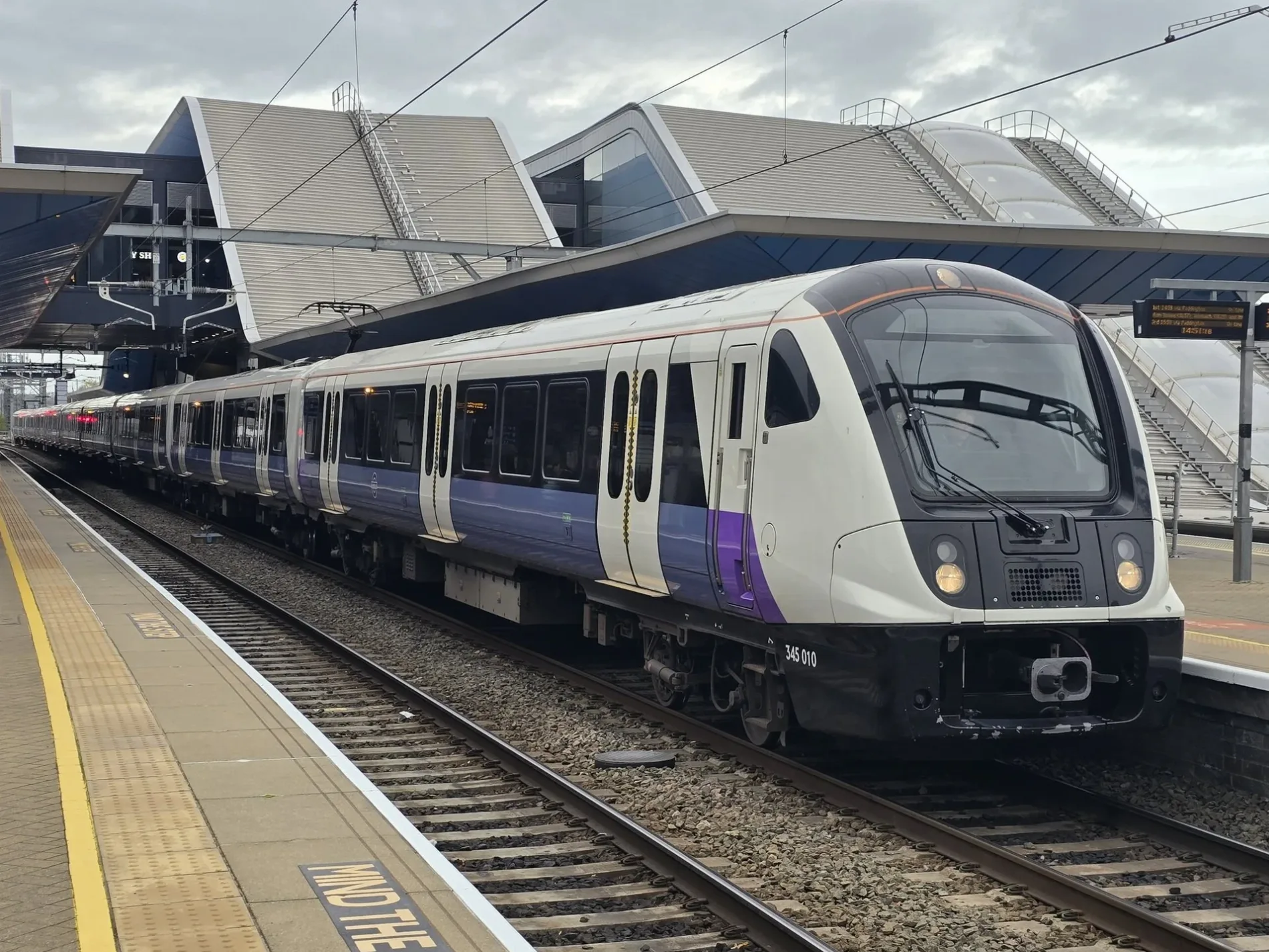
Great Western Mainline Relief Line in Twyford, Berkshire
Great Western Mainline Relief Line in Wokingham, Twyford is a railway line (Network Rail, line number MLN1, 1435 mm, overhead line, main line). The train routes Elizabeth and PAD–DID run along this road. Great Western Mainline Relief Line is also known as Lizzie line. Ⓦ.
- Operator
- Network Rail
- Speed Limit
- 90 mph
Image
Fast food restaurants
Platforms
- train routes Elizabeth, PAD–DID
Stations
- train routes Elizabeth, PAD–DID
Hairdressers
Restaurants
Kiosks
Post offices
Bus stops
Cafés
Pharmacy
Convenience stores
Roads nearby
FP Twyford No.2200 m
Gas Lane250 m
Twyford Station to Carpark Footcrossing300 m
St Swithins Court350 m
Polehampton Close350 m
Chapel Row400 m
Brook Street400 m
Orpington Close400 m
FP Twyford No.1Twyford, Whistle Stop
400 m
Station RoadHenley Branch Junction, Puccino's
400 m
Church StreetHaweli, Ttava
450 m
Waltham RoadOla Cafe
450 m
Old Bath RoadWaggon and Horses, Hong Kong, Costa
450 m
Weavers Way450 m
Old Mill Court450 m
Wellington Close450 m
Bell Court500 m
FP Twyford No.4Twyford Waitrose
500 m
Byron Road500 m
Loddon View500 m
The Grove550 m
Byron Close550 m
Springfield Park550 m
Paddock Heights600 m
Wessex Gardens600 m
Hurst RoadTwyford
600 m
Wagtail Close650 m
Winchcombe Road650 m
Mulberry Close700 m
Broadwater Road700 m
Colleton Drive750 m
Allotment gardens nearby
Hurst Road Allotments400 m
Bicycle shops nearby
The Bia Hub450 m
Libraries nearby
Twyford Library400 m
Parks nearby
Orpington Close Greenspace300 m
Places of worship nearby
Twyford Parish Church400 m
United Reformed Church400 m
Platforms nearby
4350 m
2400 m
3400 m
1450 m
Pubs nearby
Duke of Wellington400 m
Golden Cross500 m
Railway lines nearby
Great Western Main Line200 m
Regatta Line250 m
Railway stations nearby
Twyford Station450 m
Rivers nearby
Loddon400 m
Streams nearby
Broadwater Brook300 m
Supermarkets nearby
Waitrose550 m
| Named after | Elizabeth II |
|---|---|
| Opening | 2022 |
| Country | United Kingdom |
| Transport network | Elizabeth line network |
| Website | https://tfl.gov.uk/modes/elizabeth-line/ |
| Significant event | Crossrail |
| Has part | Elizabeth line: Reading - Abbey Wood, Elizabeth line: Maidenhead - Abbey Wood, Elizabeth line: Heathrow Airport - Abbey Wood, Elizabeth line: Heathrow Airport - Shenfield, Elizabeth line: Paddington - Shenfield |
| Part of | TfL |
Public transport map Twyford Legend
| Railway | |
| Bus | |
| Tram |
Cycling map Twyford Legend
| Cycle path | |
| Cycle lane on road | |
| Cycling on bus lane | |
| Bicycle street | |
| Cyclists allowed | |
| Cyclists allowed, good surface | |
| No cycling | |
| Cobblestones |
| Long-distance cycle route | (depending on scale) | |
| Long-distance cycle route |
Walking map Twyford Legend
| Path |
| Long-distance hiking trail | (depending on scale) | |
| Long-distance hiking trail | ||
| No pedestrians |