
Spragins Cycle Track in Huntsville, Alabama
Spragins Cycle Track in Huntsville is a bike path and runs in a southeast-northwest direction and crosses Monroe Street Northwest, Holmes Avenue Northwest and Clinton Avenue West. Nearby there is a bike rental.
- Bicycle
- yes
- Road Type
- bike path
- Route
- southeast-northwest
Image
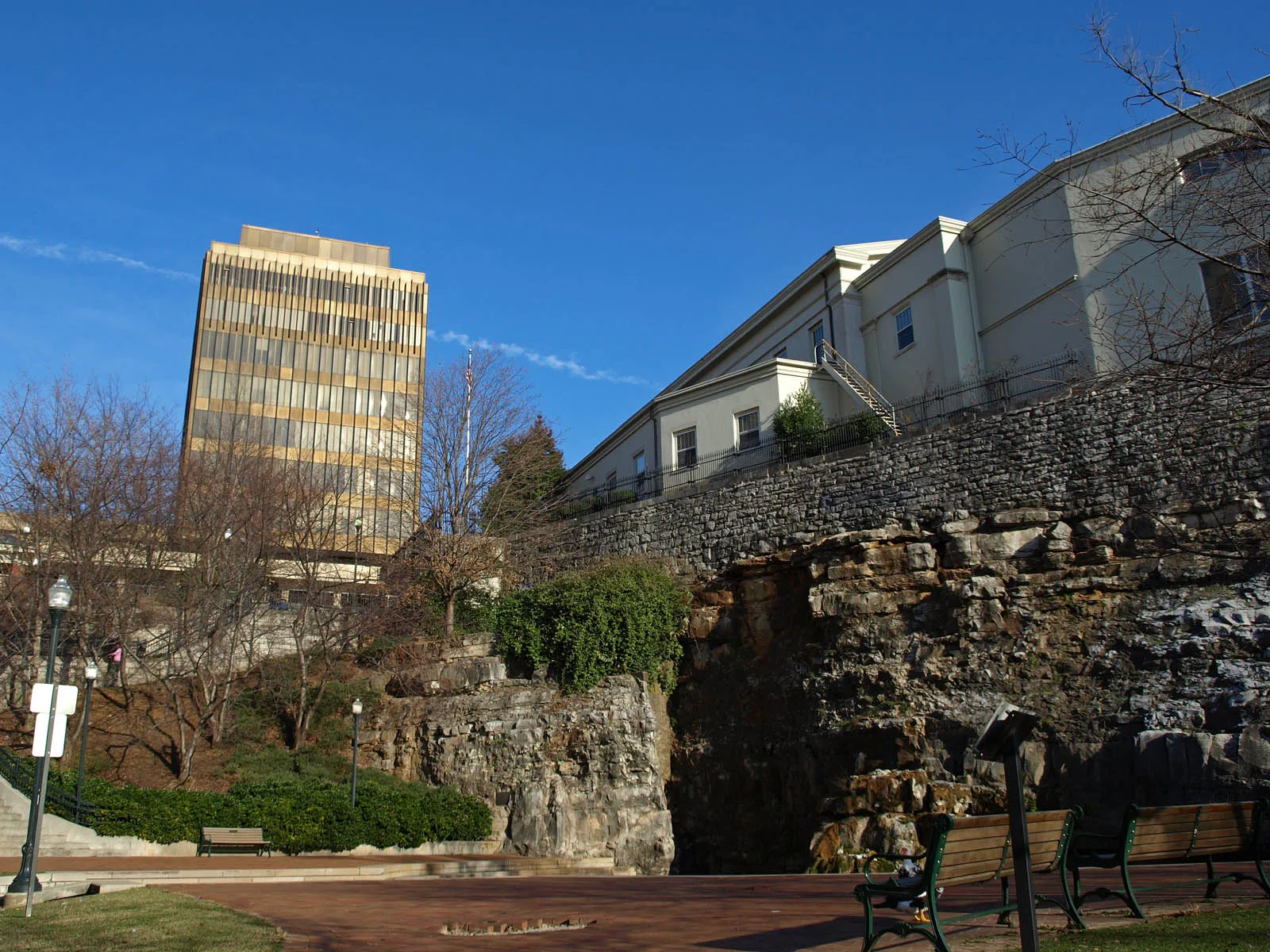
Bike rentals
Streets nearby
Spragins Street NorthwestLa Esquina
150 ft
Church Street NorthwestSecond Cumberland Presbyterian Church, Drver's License Services, Telephone, Marathon
250 ft
Jefferson Street NorthHuntsville Post Office, Wheelhouse Salon, The Moon Bakeshop
0.1 mi
Meridan Street NorthwestHalsey Foodservice
0.1 mi
Washington Street Northwest0.1 mi
Monroe Street NorthwestSaint John African Methodist Episcopal Church
0.2 mi
Clinton Avenue WestHampton Inn & Suites, Kaffeeklatsch
0.2 mi
Washington Street NortheastHumphrey's
0.2 mi
Holmes Avenue NortheastDrake State Technical College Extension, Five Points, Carlyle Art Gallery
0.2 mi
Clinton Avenue EastThe Bottle, Lush Studio Luxury Extensions, Honest Coffee, Yala Avenue, Caley Paige Home and Gifts, Maxwell's Music, In Bloom Downtown, Roosevelt and Company, Creative State
0.2 mi
Jefferson Street SouthTrustmark, Seashore Urban Oyster Bar
0.2 mi
Church Street SouthwestPane e Vino, Gracelyn Rose sculpture, Big Spring East
0.2 mi
Spragins Avenue Southwest0.2 mi
Veteran's Park Greenway0.2 mi
Meridian Street NorthMeridan Crossing Tavern and Eatery, Furniture Factory, Wesley Methodist Church, Fellowship Presbyterian Church, Lakeside Methodist Church, Normal, Subway, Northside Baptist Church, Cycleway
0.2 mi
Dallas Avenue Northwest0.2 mi
Greene Street Northeast0.2 mi
Spring Street Southwest0.2 mi
Lincoln Street Northeast0.2 mi
Washington Street SoutheastJimmy John's, Miller's Tavern, Whiskey Bottom Saloon
0.2 mi
North Side SquareThe Poppy and Parliament
0.2 mi
Big Spring Park GreenwayThe Cozy Cow
0.3 mi
West Side SquareHuntsville, Westside Square
0.3 mi
Fountain Circle Southwest0.3 mi
Cleveland Avenue NorthwestTraylor Island, Canadian Bakin, Park Place Plaza, Sandwich Farm, The Lumberyard, Shuttle Bus Station
0.3 mi
Japanese Red Bridge0.3 mi
Monroe Street SouthwestStarbucks
0.3 mi
Abandoned railways nearby
L&N Huntsville Branch0.3 mi
Apartment buildings nearby
The Avenue450 ft
Attractions nearby
Huntsville Roundhouse and Turntable0.1 mi
Huntsville Depot0.2 mi
Bars nearby
Phat Sammy's0.2 mi
Buildings nearby
Hotel Russell Erskine0.2 mi
Wimer & Lee, P.A.0.2 mi
Churches nearby
Church Street Cumberland Presbyterian Church250 ft
Event venues nearby
The Loft on Washington0.2 mi
Hotels nearby
106 Jefferson Huntsville, Curio Collection by Hilton0.2 mi
Trilogy Hotel Huntsville, Autograph Collection0.3 mi
Parking garages nearby
City of Huntsville Parking Garage D0.2 mi
Parking lots nearby
Garage O0.2 mi
Garage M0.3 mi
Parks nearby
Huntsville Depot Museum Park450 ft
Washington Park0.2 mi
Places of worship nearby
The Visitation of Saint Mary Catholic Church550 ft
Pubs nearby
BeeZr0.2 mi
Jack Brown's Beer & Burger Joint0.2 mi
Railways nearby
Memphis District East End0.3 mi
HMCR Huntsville Branch0.3 mi
Stations nearby
Greyhound0.2 mi
Public transit map Huntsville Legend
| Railway | |
| Bus | |
| Streetcar |
Bicycle map Huntsville Legend
| Bike path | |
| Bike lane on roadway | |
| Cycling allowed on bus lane | |
| Bicycle street | |
| Open to cyclists | |
| Open to cyclists, good path | |
| Cycling prohibited | |
| Cobblestone |
| Long-distance bike route | (depending on scale) | |
| Long-distance bike route |
Pedestrian map Huntsville Legend
| Path |
| Long-distance hiking trail | (depending on scale) | |
| Long-distance hiking trail | ||
| Pedestrians prohibited |