
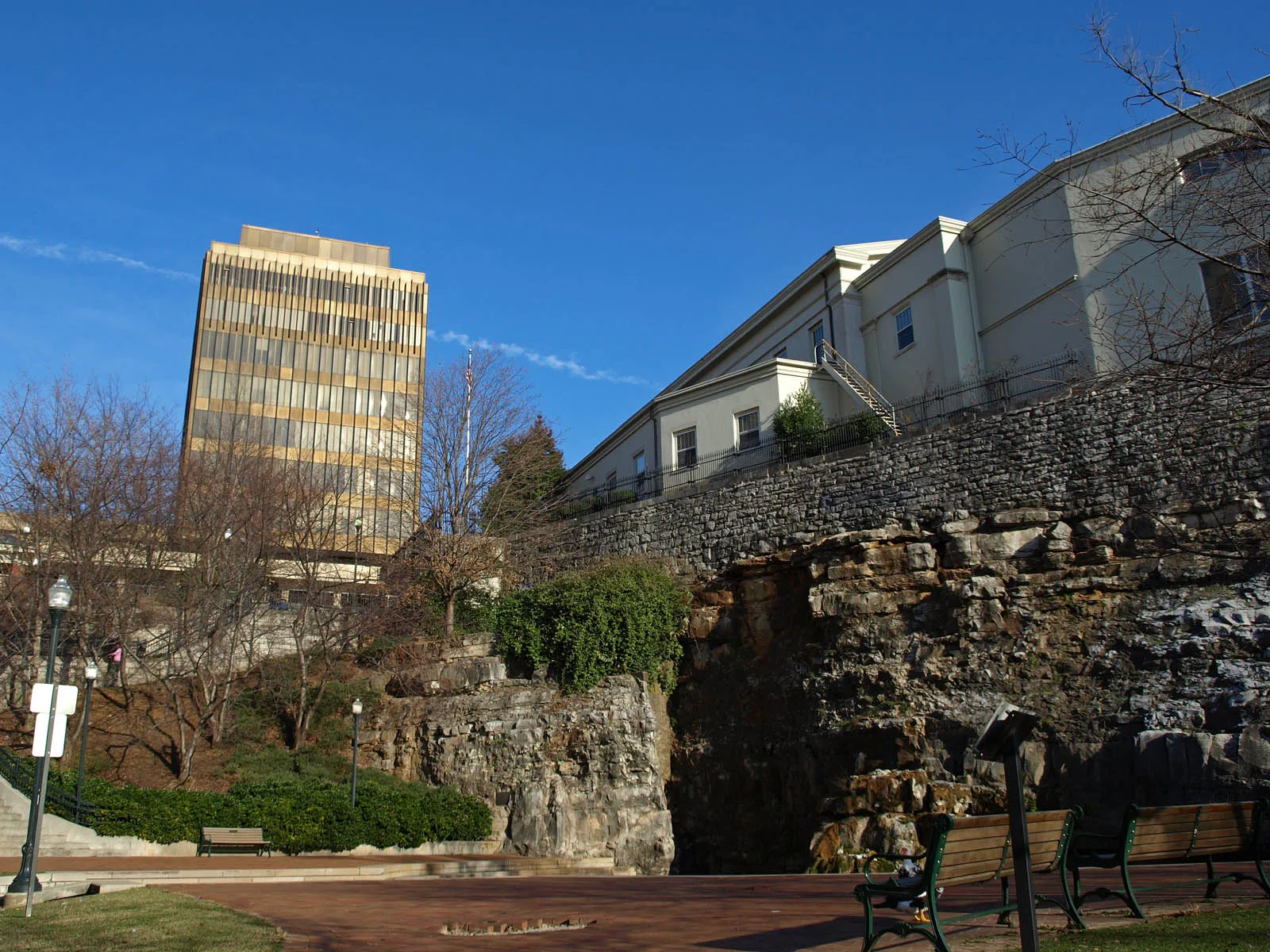
Big Spring Park Greenway in Huntsville, Alabama
Big Spring Park Greenway in Huntsville is a paving-stones, lit bike path and runs in a northeast-southwest direction. Nearby there is a cafe.
- Bicycle
- designated
- Road Type
- bike path
- Route
- northeast-southwest
Image
Cafes
Streets nearby
Church Street SouthwestPane e Vino, Gracelyn Rose sculpture, Big Spring East
500 ft
Fountain Circle Southwest500 ft
Spring Street Southwest500 ft
Spragins Cycle TrackRoundhouse
500 ft
Spragins Avenue Southwest500 ft
Japanese Red Bridge0.1 mi
Clinton Avenue WestHampton Inn & Suites, Kaffeeklatsch
0.1 mi
West Side SquareHuntsville, Westside Square
0.1 mi
Monroe Street SouthwestStarbucks
0.1 mi
Madison Street0.2 mi
Gates Avenue Southwest0.2 mi
South Side SquareSmall Bull sculpture
0.2 mi
Jefferson Street SouthTrustmark, Seashore Urban Oyster Bar
0.2 mi
Clinton Avenue EastThe Bottle, Lush Studio Luxury Extensions, Honest Coffee, Yala Avenue, Caley Paige Home and Gifts, Maxwell's Music, In Bloom Downtown, Roosevelt and Company, Creative State
0.2 mi
Gates Avenue SoutheastPiper and Leaf, Constitution Hall Park Gift Shop & Tours
0.2 mi
Monroe Street NorthwestSaint John African Methodist Episcopal Church
0.2 mi
Gallatin Street Southwest0.2 mi
Williams Avenue SouthwestTravelers II, Big Spring West, Mrs. Nadine Meslon Yeager
0.2 mi
Church Street NorthwestSecond Cumberland Presbyterian Church, Drver's License Services, Telephone, Marathon
0.2 mi
Dr. Joseph E. Lowery Boulevard SouthwestTravelers
0.4 mi
Lowe Avenue Southwest0.4 mi
Davis Circle Southwest0.4 mi
Holmes Avenue NorthwestBooklegger, Light of Christ Center, Infinity College Bookstore, Textbook Maniac, New Orleans Lunchbox, Lowe Church, Regions, Fletcher E. Seldon Educational Center, Cicis, WoodSpring Suites, Everhome Suites, Cloud 22 Smoke & Vape, Lendmark Financial Services, India Mart, Sherwin-Williams, Fleur de Leigh, Stella's Elixir Lounge, The Standard Social Market, Moe's Original Bar B Que, Melt, Kangaroo Express, Discount Tobacco Center
0.4 mi
Heart of Huntsville Drive Southwest0.4 mi
Woodson Street Northwest0.5 mi
West Clinton AvenueWest End Early Childhood Education Center, Straight to Ale, Butler Green
0.5 mi
Bars nearby
Phat Sammy's0.1 mi
Buildings nearby
Hotel Russell Erskine500 ft
Huntsville Inspection Department0.2 mi
Mars Music Hall0.2 mi
Hotels nearby
Trilogy Hotel Huntsville, Autograph Collection500 ft
106 Jefferson Huntsville, Curio Collection by Hilton0.1 mi
AC Hotel0.2 mi
Embassy Suites0.3 mi
Libraries nearby
Huntsville - Madison County Public Library0.4 mi
Museums nearby
Huntsville Museum of Art0.2 mi
Constitution Hall Park0.2 mi
Early Works Museum0.2 mi
Parking lots nearby
Garage M0.1 mi
Parks nearby
Bicentennial Park0.2 mi
Big Spring Park0.2 mi
Post offices nearby
US Post Office - Huntsville Downtown0.4 mi
Pubs nearby
BeeZr0.2 mi
Voodoo Lounge0.2 mi
Railways nearby
HMCR Huntsville Branch0.4 mi
Restaurants nearby
Cotton Row0.2 mi
Stations nearby
Greyhound0.2 mi
Streams nearby
Fagan Creek0.3 mi
Town halls nearby
Huntsville City Hall0.1 mi
Public transit map Huntsville Legend
| Railway | |
| Bus | |
| Streetcar |
Bicycle map Huntsville Legend
| Bike path | |
| Bike lane on roadway | |
| Cycling allowed on bus lane | |
| Bicycle street | |
| Open to cyclists | |
| Open to cyclists, good path | |
| Cycling prohibited | |
| Cobblestone |
| Long-distance bike route | (depending on scale) | |
| Long-distance bike route |
Pedestrian map Huntsville Legend
| Path |
| Long-distance hiking trail | (depending on scale) | |
| Long-distance hiking trail | ||
| Pedestrians prohibited |