
Hampton Place in Mobile City Council District 5, Alabama
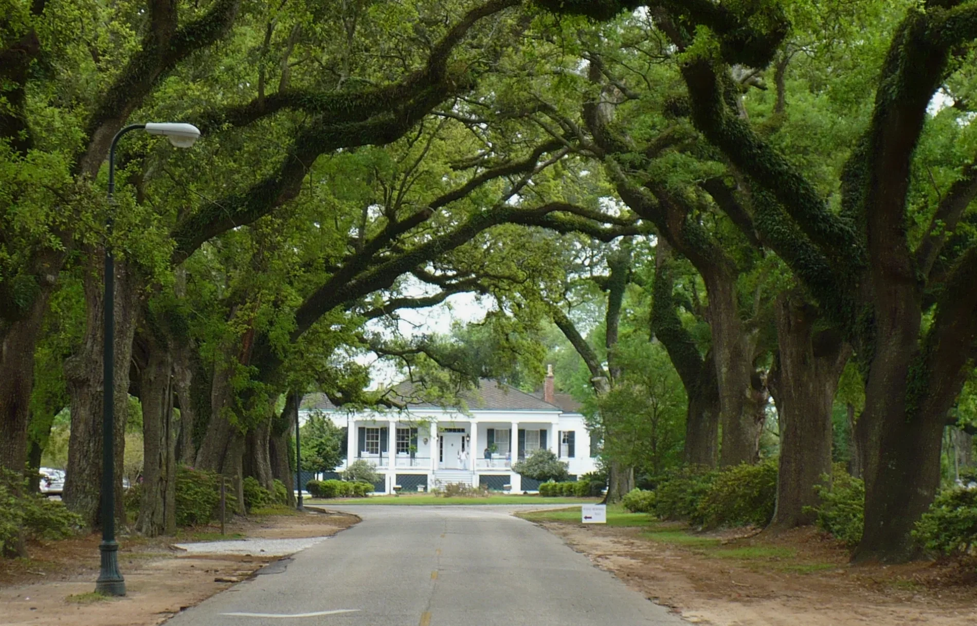
Hampton Place in Mobile is a residential street and it runs in an east-west direction and ends at Spring Bank Road, while the other end is a cul-de-sac.
- Road Type
- residential street
- Route
- east-west
Image
Pharmacies
Clinics
Doctor's offices
Music stores
Universities
Bus stops
Places of worship
Restaurants
Cafes
Motels
Pet stores
Sporting goods stores
Streets nearby
Spring Bank Road50 ft
Rutledge Place0.1 mi
Yester Place0.1 mi
North Ashley Drive0.2 mi
Oak Way Drive0.2 mi
Spring Hill College Road0.2 mi
Grotto Road0.3 mi
Marquette Drive0.3 mi
Brother Ferrell Blank Drive0.3 mi
Loras Court0.3 mi
Dauphin StreetDauphin EB Near Church
0.3 mi
Edgefield Road0.4 mi
Ashley Drive0.4 mi
St. Ignatius Drive0.4 mi
Portier Lane0.4 mi
Claridge Road North0.4 mi
Badger Circle0.4 mi
South Ashley Drive0.5 mi
Claridge Road West0.5 mi
Pope Francis Way0.5 mi
Clubhouse Road0.5 mi
Rimes Road0.5 mi
Cemeteries nearby
Jesuit Cemetery0.4 mi
Chapels nearby
Sodality Chapel0.4 mi
Dormitories nearby
Langan Hall0.2 mi
Andrews Hall0.2 mi
Rubin Hall0.2 mi
Golf courses nearby
Spring Hill Golf Course0.3 mi
Libraries nearby
Burke Memorial Library0.4 mi
Places of worship nearby
Saint Joseph Chapel0.4 mi
Sports centers nearby
Arthur R. Outlaw Recreation Center0.4 mi
Sports fields nearby
Stan Galle Field0.3 mi
Library Field0.4 mi
Technical colleges nearby
Stewartfield0.3 mi
Stonisch Field House0.3 mi
Moorer Hall0.3 mi
Walsh Hall0.3 mi
Deignan Hall0.3 mi
Fine Arts Building0.3 mi
Quinlan Hall0.3 mi
Business Annex0.3 mi
Yenni Hall0.3 mi
Yancey Hall0.4 mi
Plant Operations0.4 mi
Altmayer Place0.4 mi
Mobile Hall0.4 mi
Lucey Administration Center0.4 mi
Student Center0.4 mi
Theaters nearby
Arlene Mitchell Theatre0.4 mi
Public transit map Mobile City Council District 5 Legend
| Railway | |
| Bus | |
| Streetcar |
Bicycle map Mobile City Council District 5 Legend
| Bike path | |
| Bike lane on roadway | |
| Cycling allowed on bus lane | |
| Bicycle street | |
| Open to cyclists | |
| Open to cyclists, good path | |
| Cycling prohibited | |
| Cobblestone |
| Long-distance bike route | (depending on scale) | |
| Long-distance bike route |
Pedestrian map Mobile City Council District 5 Legend
| Path |
| Long-distance hiking trail | (depending on scale) | |
| Long-distance hiking trail | ||
| Pedestrians prohibited |