
Yester Place in Mobile City Council District 5, Alabama
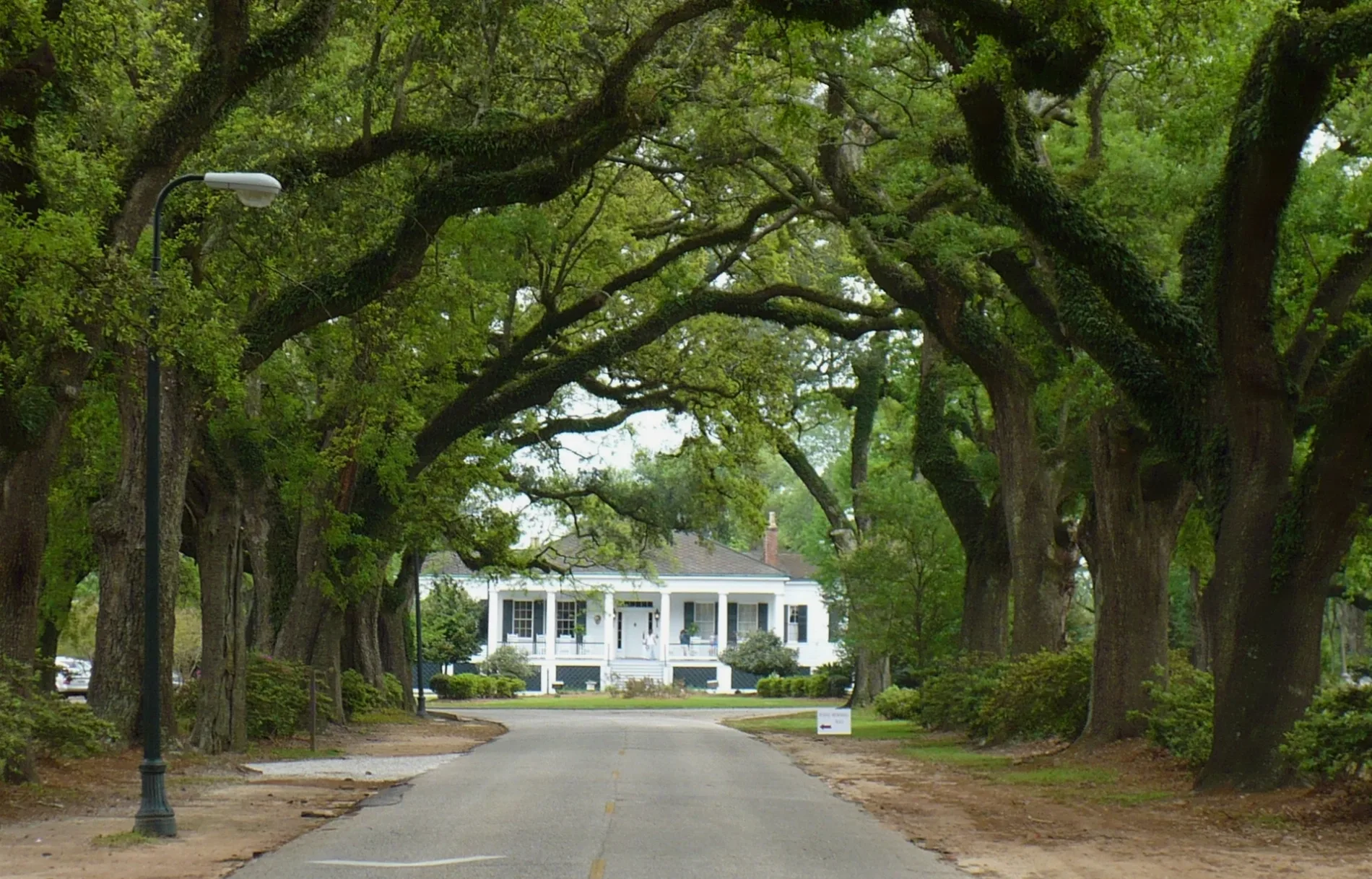
Yester Place in Mobile is a residential street. It runs in an east-west direction starting from McGregor Oaks and crosses South McGregor Avenue. It ends in a cul-de-sac.
- Road Type
- residential street
- Route
- east-west
Image
Restaurants
Cafes
Pet stores
Motels
Bus stops
Places of worship
Pharmacies
Clinics
Doctor's offices
Universities
Streets nearby
North Ashley Drive0.1 mi
South McGregor AvenueSpring Hill Baptist Church, CVS Pharmacy
0.1 mi
McGregor Oaks0.1 mi
Hampton Place0.1 mi
Spring Bank Road0.1 mi
Chancery Court0.2 mi
Myers Lane0.2 mi
Warren Court0.2 mi
Ashley Drive0.2 mi
Grotto Road0.2 mi
McGregor Court0.2 mi
Buerger Road0.2 mi
Oak Way Drive0.2 mi
Holland Park0.3 mi
Eaton Square0.3 mi
Country Club Road0.4 mi
Old Shell RoadGreater Mobile Urgent Care, Dunkin', AT&T, Old Shell Rd EB at Long St, Old Shell EB at University Blvd, Vapors Smoke Shop, McDonald's, West Hill, Spring Hill, Old Shell Rd EB at West Dr, Old Shell Rd EB at Robinwood Apts
0.4 mi
North McGregor Avenue0.4 mi
Whites Lane0.4 mi
Hillwood Road0.4 mi
Austill Lane0.4 mi
Austill Gate0.4 mi
Avenue of the Oaks0.4 mi
Austill Avenue0.4 mi
Magis Way0.4 mi
Springhill Trace0.4 mi
South Hathaway Road0.5 mi
Banks nearby
Trustmark Bank0.3 mi
PNC Bank0.4 mi
22nd State Bank0.4 mi
Servis 1st Bank0.4 mi
Regions Bank0.4 mi
Buildings nearby
AT&T0.3 mi
Dormitories nearby
Rubin Hall0.2 mi
Andrews Hall0.3 mi
Drugstores nearby
CVS Pharmacy0.3 mi
Hair salons nearby
Cara & Company Salon0.4 mi
Libraries nearby
Mobile Public Library - Moorer/Spring Hill Branch0.2 mi
Restaurants nearby
Soul Bowlz0.3 mi
Social facilities nearby
Portier Place0.4 mi
Sports fields nearby
Library Field0.3 mi
Dorn Field0.3 mi
Supermarkets nearby
Rouses0.5 mi
Technical colleges nearby
Stewartfield0.2 mi
Moorer Hall0.2 mi
Deignan Hall0.3 mi
Yancey Hall0.3 mi
Byrne Memorial Hall0.4 mi
Toolen Hall0.4 mi
Public transit map Mobile City Council District 5 Legend
| Railway | |
| Bus | |
| Streetcar |
Bicycle map Mobile City Council District 5 Legend
| Bike path | |
| Bike lane on roadway | |
| Cycling allowed on bus lane | |
| Bicycle street | |
| Open to cyclists | |
| Open to cyclists, good path | |
| Cycling prohibited | |
| Cobblestone |
| Long-distance bike route | (depending on scale) | |
| Long-distance bike route |
Pedestrian map Mobile City Council District 5 Legend
| Path |
| Long-distance hiking trail | (depending on scale) | |
| Long-distance hiking trail | ||
| Pedestrians prohibited |