
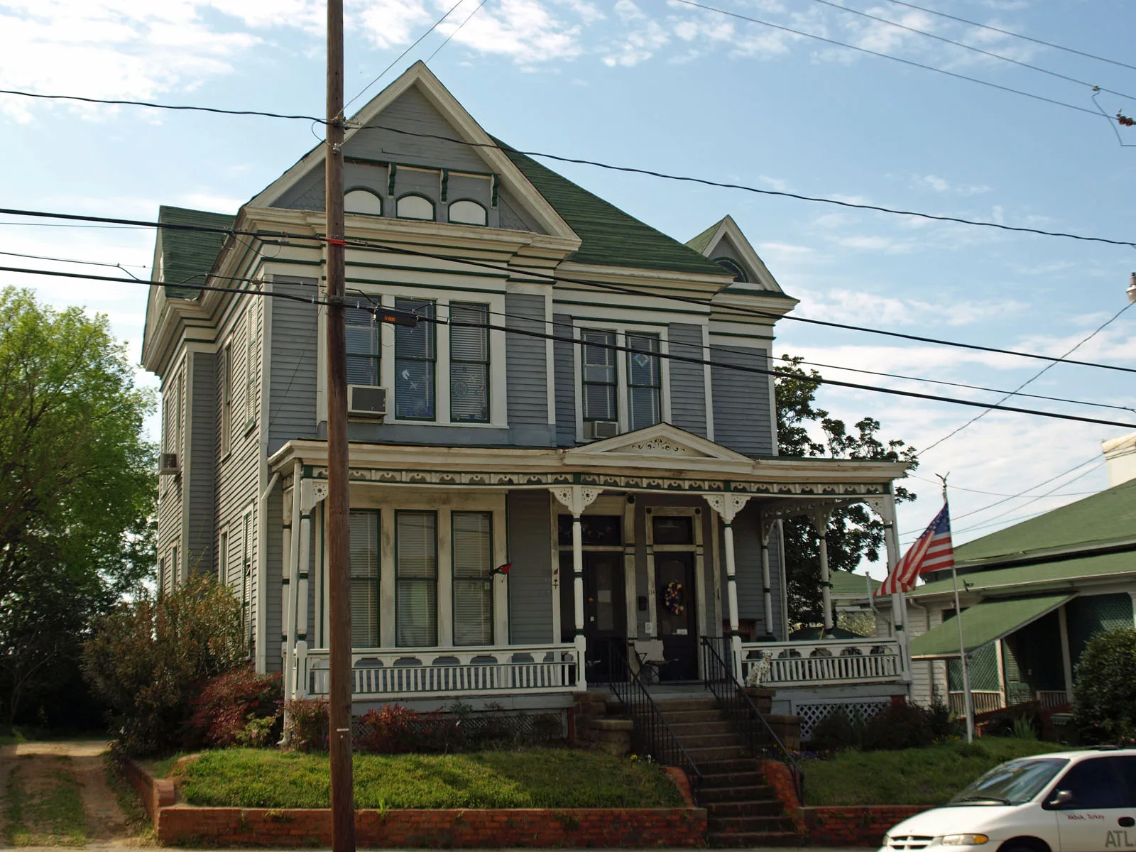
South Decatur Street in Montgomery, Alabama
South Decatur Street in Montgomery is a four-lane, asphalted secondary road. It runs in a north-south direction starting from North Decatur Street and crosses Dexter Avenue, Washington Avenue, Adams Avenue, Alabama Street, Scott Street, High Street, Grove Street, East South Street, Arba Street, Nicrosi Street and East Fred D. Gray Avenue. It ends in a cul-de-sac.
- Road Type
- secondary road
- Lanes
- 4
- Route
- north-south
Image
Studios
Artworks
Restaurants
Sporting goods stores
Drugstores
Fast food restaurants
Places of worship
Schools
Banks
Animal trainings
Cafes
Clothing stores
Conference centers
Streets nearby
Scott Street200 ft
Alabama StreetSaint Mark Baptist Church, First Baptist Church Montgomery
350 ft
South Hull StreetTrinity Presbyterian Church
450 ft
Adams AvenueTrustmark, Grace Lutheran Church
450 ft
South Bainbridge Street0.2 mi
South Union StreetFirst Congregational Church, Booker T Washington Junior High School, Central Area Vocational Center
0.2 mi
South McDonough StreetJones Law School, Baldwin Junior High School
0.2 mi
Avenue of Flags0.2 mi
High StreetFirst Christian Church
0.2 mi
Dexter AvenueOff Leash K9 Training Montgomery, WSFA, City Drug, Charlie's Trophies, WSFA News 12, Prevail Union
0.2 mi
North Hull Street0.3 mi
Citadel Street0.3 mi
Ripley Street0.3 mi
North Decatur Street0.3 mi
King Street0.3 mi
North Bainbridge Street0.3 mi
South Ripley Street0.3 mi
Pelham StreetChurch of God
0.3 mi
South Jackson StreetHutchinson Street Baptist Church, Jackson Street Baptist Church
0.4 mi
Monroe StreetWeil's, The Eagle Institute
0.4 mi
North Union Street0.4 mi
Washington AvenueCentral Presbyterian Church, Wall of Tolerance
0.4 mi
Houston Street0.4 mi
North Ripley Street0.4 mi
Buildings nearby
Alabama Association of Realtors0.1 mi
Alabama Poultry & Egg Association0.2 mi
Alabama Education Association0.2 mi
RSA Plaza0.3 mi
Lurleen B. Wallace Office Building0.3 mi
RSA Union Building0.4 mi
Construction sites nearby
New Alabama State House0.4 mi
Courthouses nearby
Alabama Supreme Court0.2 mi
Museums nearby
Civil Rights Memorial Center0.1 mi
First White House of the Confederacy0.2 mi
Office buildings nearby
The Alabama Center for Commerce500 ft
Bailey Building0.2 mi
Alabama Department of Archives and History0.2 mi
RSA Headquarters0.2 mi
Alabama State House0.3 mi
Alabama State Capitol0.3 mi
Parks nearby
Alabama Bicentennial Park0.2 mi
Alabama State Capitol Grounds0.3 mi
Places of worship nearby
Dexter Avenue King Memorial Legacy0.2 mi
Dexter Avenue King Memorial Baptist Church0.2 mi
Saint Peter Catholic Church0.2 mi
Dexter Avenue Methodist Church0.3 mi
Prisons nearby
Montgomery County Jail0.1 mi
Universities nearby
Alabama Community College System0.2 mi
Other nearby
Business Center of Alabama Heliport0.4 mi
Public transit map Montgomery Legend
| Railway | |
| Bus | |
| Streetcar |
Bicycle map Montgomery Legend
| Bike path | |
| Bike lane on roadway | |
| Cycling allowed on bus lane | |
| Bicycle street | |
| Open to cyclists | |
| Open to cyclists, good path | |
| Cycling prohibited | |
| Cobblestone |
| Long-distance bike route | (depending on scale) | |
| Long-distance bike route |
Pedestrian map Montgomery Legend
| Path |
| Long-distance hiking trail | (depending on scale) | |
| Long-distance hiking trail | ||
| Pedestrians prohibited |