
South McDonough Street in Montgomery, Alabama
South McDonough Street in Montgomery is an asphalted local road. It runs as a one-way street in a south-north direction starting from Clanton Avenue and crosses Maury Street, Finley Avenue, Bellinger Lane, Noble Avenue, Cramer Avenue, Julia Street, East Fred D. Gray Avenue, Arba Street, East South Street, Grove Street and High Street. It ends in a cul-de-sac. Nearby you can find 2 schools.
- Road Type
- local road
- Route
- north-south
Image
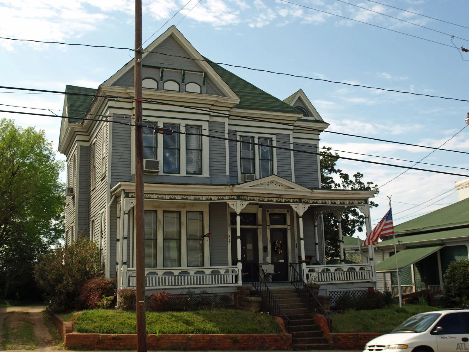
Schools
Streets nearby
Grove StreetChurch of the Good Shepherd
0.1 mi
South Hull StreetTrinity Presbyterian Church
0.1 mi
Scott Street0.2 mi
South Decatur Street0.2 mi
High StreetFirst Christian Church
0.2 mi
South Lawrence Street0.2 mi
Adams AvenueTrustmark, Grace Lutheran Church
0.2 mi
South Bainbridge Street0.3 mi
South Perry Street0.3 mi
Alabama StreetSaint Mark Baptist Church, First Baptist Church Montgomery
0.3 mi
East South Street0.3 mi
Washington AvenueCentral Presbyterian Church, Wall of Tolerance
0.3 mi
Arba StreetBP, Exxon
0.3 mi
South Union StreetFirst Congregational Church, Booker T Washington Junior High School, Central Area Vocational Center
0.3 mi
Wilson Street0.3 mi
Sayre StreetBranch Grove Baptist Church
0.3 mi
South Street0.3 mi
Lee StreetFlames Grille
0.4 mi
Catoma Street0.4 mi
Church StreetChurch of Christ
0.4 mi
Nicrosi Street0.4 mi
East Fred D. Gray Avenue0.4 mi
West South Street0.4 mi
Holcombe Street0.4 mi
Mildred StreetChilton Elementary School, Old Ship African Methodist Episcopal Zion Church
0.4 mi
South Court StreetCahawba House
0.4 mi
Julia Street0.5 mi
Buildings nearby
Montgomery County Historical0.3 mi
Alabama Poultry & Egg Association0.3 mi
Frank M. Johnson Jr. Federal Building0.3 mi
Alabama Association of Realtors0.4 mi
Alabama Education Association0.4 mi
Davis Theatre0.4 mi
Courthouses nearby
Montgomery County Courthouse0.2 mi
United States District Court0.3 mi
Alabama Supreme Court0.4 mi
Libraries nearby
Montgomery City-County Public Library - Juliette Hampton Mor300 ft
Museums nearby
Civil Rights Memorial Center0.3 mi
Greyhound Bus Station;Freedom Rides Museum0.3 mi
Office buildings nearby
The Alabama Center for Commerce0.3 mi
Bailey Building0.3 mi
Places of worship nearby
Saint Peter Catholic Church0.3 mi
Saint John the Baptist Catholic Church0.3 mi
Dexter Avenue King Memorial Legacy0.4 mi
Prisons nearby
Montgomery County Jail0.2 mi
Residential buildings nearby
801 - 8150.4 mi
24 - 380.4 mi
817 - 8310.4 mi
801 - 8160.4 mi
Public transit map Montgomery Legend
| Railway | |
| Bus | |
| Streetcar |
Bicycle map Montgomery Legend
| Bike path | |
| Bike lane on roadway | |
| Cycling allowed on bus lane | |
| Bicycle street | |
| Open to cyclists | |
| Open to cyclists, good path | |
| Cycling prohibited | |
| Cobblestone |
| Long-distance bike route | (depending on scale) | |
| Long-distance bike route |
Pedestrian map Montgomery Legend
| Path |
| Long-distance hiking trail | (depending on scale) | |
| Long-distance hiking trail | ||
| Pedestrians prohibited |