
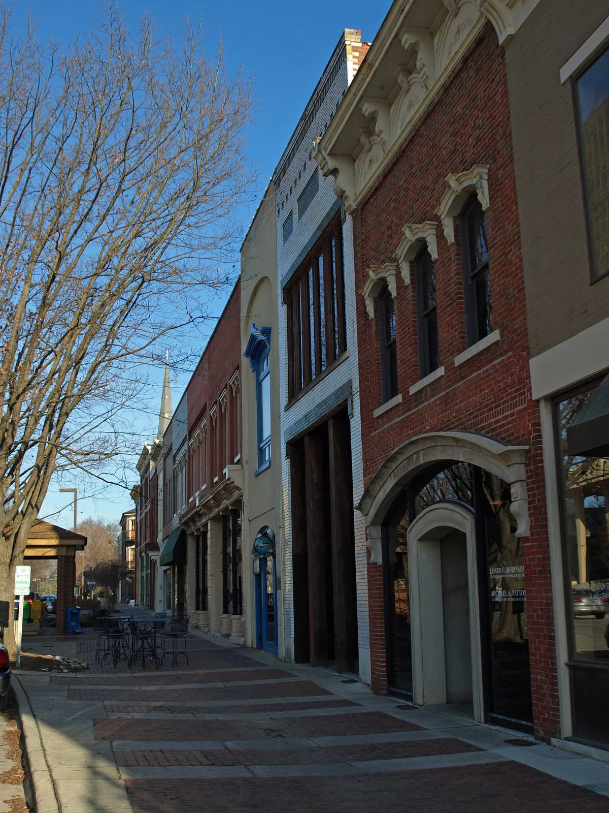
Adams Street Southeast in Huntsville, Alabama
Adams Street Southeast in Huntsville is a residential street. The street has sidewalks. No bike lane available. It runs in a Southeast direction starting from Echols Avenue Southeast and crosses Williams Avenue Southeast, McClung Avenue Southeast, Cruse Alley Southeast, Bannister Lane Southeast, Locust Avenue Southeast, Newman Avenue Southeast, Lowe Avenue Southeast, Adams Alley Southeast and Townsend Avenue Southeast and ends at Lowell Drive Southeast.
- Road Type
- local road
- Bicycle
- yes
- Bike Lane
- no
- Route
- southeast-northwest
Image
Clothing stores
Places of worship
Tea shops
Bike rentals
Banks
Coffee shops
Pubs
Gift shops
Artworks
Cafes
Schools
Restaurants
Hair salons
Tourist information centers
Fast food restaurants
Housewares stores
Music stores
Streets nearby
Williams Avenue Southeast400 ft
Echols Avenue SoutheastEchols Hill
450 ft
McClung Avenue SoutheastCornerstone Presbyterian Church
500 ft
Gates Avenue SoutheastPiper and Leaf, Constitution Hall Park Gift Shop & Tours
0.1 mi
Greene Street Southeast0.2 mi
Cruse Alley Southeast0.2 mi
Franklin Street SoutheastThe Orthopaedic Center, Saint Marks Church
0.2 mi
Lincoln Street SoutheastCentral Presbyterian Church
0.2 mi
Southside Square0.2 mi
East Side Square0.2 mi
Eustis Avenue SoutheastGreen Bus Brewing
0.3 mi
White Circle Southeast0.3 mi
Figures Alley0.3 mi
Washington Street SoutheastJimmy John's, Miller's Tavern, Whiskey Bottom Saloon
0.3 mi
Locust Avenue Southeast0.3 mi
Randolph Avenue Southeast0.3 mi
Lincoln Street Northeast0.3 mi
Steele Street Northeast0.3 mi
White Street Southeast0.3 mi
Greene Street Northeast0.3 mi
Calhoun Street Southeast0.4 mi
Wells Avenue Southeast0.4 mi
Clinton Avenue EastThe Bottle, Lush Studio Luxury Extensions, Honest Coffee, Yala Avenue, Caley Paige Home and Gifts, Maxwell's Music, In Bloom Downtown, Roosevelt and Company, Creative State
0.4 mi
Holmes Avenue NortheastDrake State Technical College Extension, Five Points, Carlyle Art Gallery
0.4 mi
Smith Street Northeast0.4 mi
Maple Hill Street Southeast0.5 mi
Calhoun Street Northeast0.5 mi
California Street Southeast0.5 mi
School Avenue Northeast0.5 mi
Andrew Jackson Way NortheastHuntsville Bible Church, Dallas, Po boy Factory, 5 Pts. BP, Ted's Barbecue
0.5 mi
Russell Street NortheastEssential Church, Propst, United States Post Office, East Huntsville Church of Christ, Huntsville Freewill Baptist Church, 5 Points Laundromat, Good Company Cafe
0.5 mi
Cemeteries nearby
Maple Hill Cemetery0.3 mi
Courthouses nearby
Madison County Courthouse0.2 mi
Event venues nearby
The Loft on Washington0.3 mi
Hardware stores nearby
Harrison Brothers Hardware0.2 mi
Museums nearby
Weeden House0.1 mi
Constitution Hall Park0.2 mi
Places of worship nearby
First Presbyterian Church0.1 mi
Church of the Nativity0.2 mi
Randolph Church0.2 mi
First Methodist Church0.2 mi
Temple B'nai Sholom0.3 mi
Central Church of Christ0.3 mi
Playgrounds nearby
Providence Classical School Playground0.4 mi
Restaurants nearby
Commerce Kitchen0.2 mi
Sam & Greg's Pizzeria/ Gelateria0.2 mi
Schools nearby
Annie C. Merts Building0.3 mi
Other nearby
Old Town Historic District0.4 mi
Five Points Historic District0.4 mi
Public transit map Huntsville Legend
| Railway | |
| Bus | |
| Streetcar |
Bicycle map Huntsville Legend
| Bike path | |
| Bike lane on roadway | |
| Cycling allowed on bus lane | |
| Bicycle street | |
| Open to cyclists | |
| Open to cyclists, good path | |
| Cycling prohibited | |
| Cobblestone |
| Long-distance bike route | (depending on scale) | |
| Long-distance bike route |
Pedestrian map Huntsville Legend
| Path |
| Long-distance hiking trail | (depending on scale) | |
| Long-distance hiking trail | ||
| Pedestrians prohibited |