
Cold Bay, Alaska
Cold Bay is located in Aleutians East Borough. About 50 people live here (as of 2020). Between 2010 and 2020, the population declined from 108 to 50. The region is at 42 meters above sea level. The area covers about 185.6 square kilometers. There are about 677 streets in Cold Bay. The region was founded in 1982. The ZIP codes are 99571. The dialing code is 907. Cold Bay is city in Aleutians East Borough, Alaska, United States. Among other things, Cold Bay has hotels and attractions. More information at www.coldbay.org.
Cold Bay – Facts
| Population | 50 |
|---|---|
| Area | 185.6 km² |
| Year built | 1982 |
| Elevation | 42 m |
| Located in | Aleutians East Borough |
| Postal code | 99571 |
| Country | United States |
| Native name | Udaamagax |
| Official name | Cold Bay |
| Website | http://www.coldbay.org |
Data source: Wikidata (CC0)
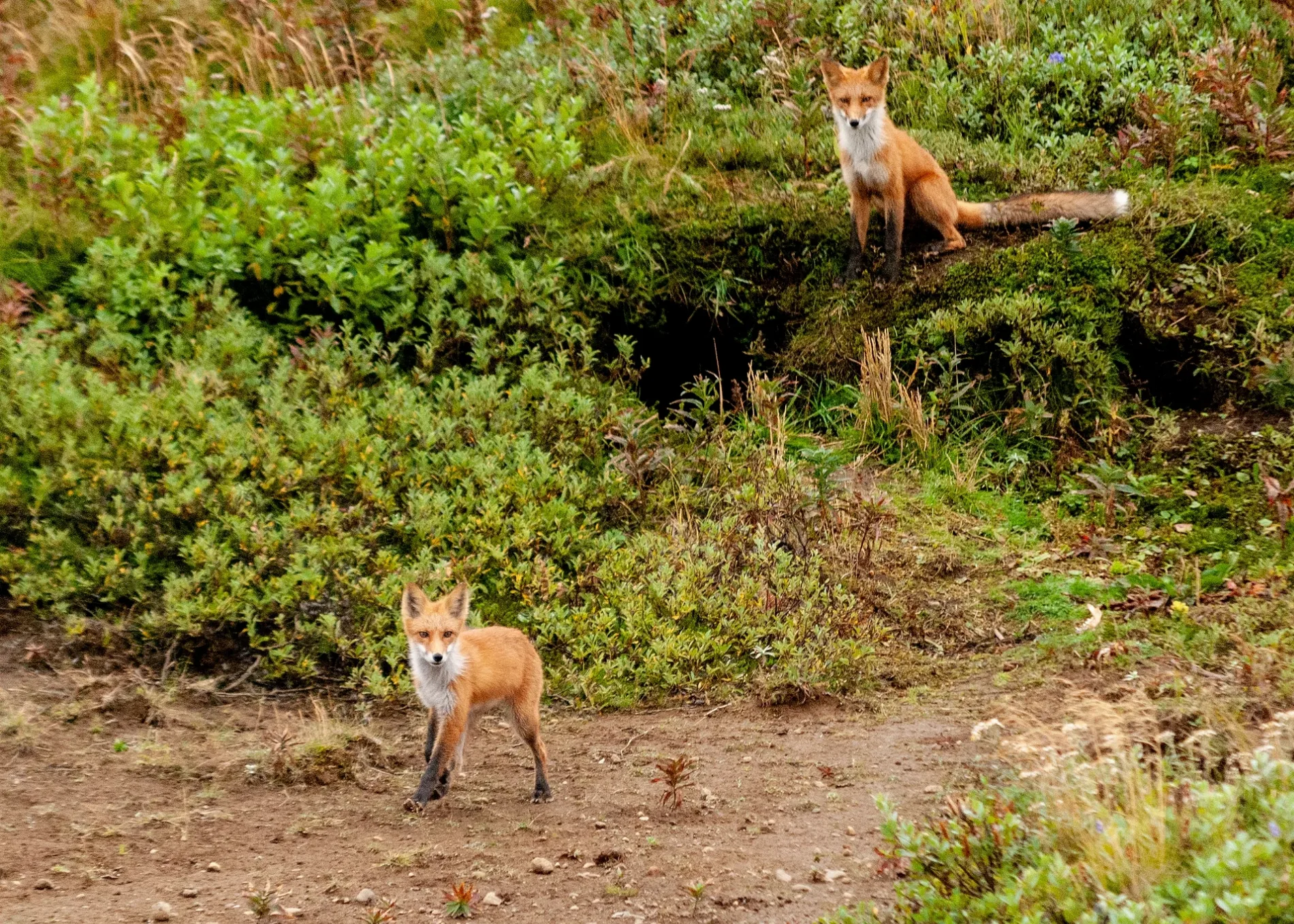
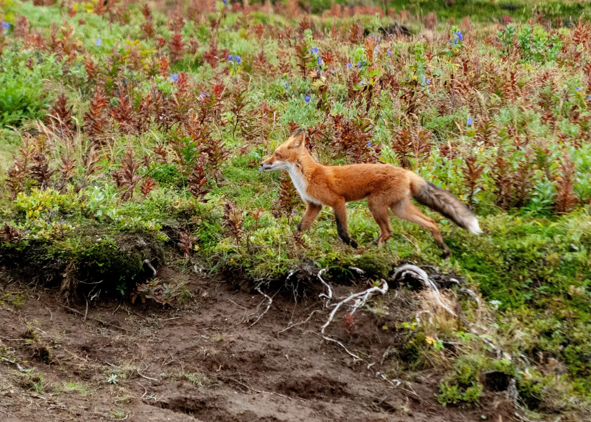
Photos from Cold Bay
Streets in Cold Bay, Alaska
Streets
Small Plane Ramp Road
ADFG Road
Dock Road
Izembek Drive
Trout Creek Road
Veniamov Circle
Baranov Road
Cold Bay
Gruening Avenue
Roosevelt Street
Jones Lane
Landfill Road
Buckner Street
Chapel Avenue
Denis Way
Flying Tiger WayPavlof Services Bunkhouse
North Ramp Road
Russel Creek High Road
Borough Drive
Kennedy Road
Paxton Street
Russell Creek East Road
Mitchell (Dias) Avenue
Reeve Avenue
Roberts Avenue
Russell Creek Fish Hatchery Road
FAA Road
Russell Creek Silver Salmon Derby Road
Trusedale Drive
Russell Creek Road
Blinn Lake Road
Lake Trelford Antenna
Mortensen Lagoon Road
Nurse Drive
WW II Jeep Road
California Boulevard
Olathe Road
Livingston Homestead Road
Swan Lake SpurPavlof Shislandin Overlook
Koso Drive
Salmon Derby Road
Grant Point Road
Grant Point Boat Ramp East
Grant Point Boat Launch West
World War II US Army Jeep Trail
Gravel Pit Road
Bluebill Lake Service Road
East Baldy Village Road
South Apron Road
Fish & Game Road
Sewer Lagoon Road
Skunk Hollow Road
Russel Creek South Road
Mike Uttecht Loop
MALSR Road
FAA GPS Road
Westover Road
Middle ILS Marker Service Road
Middle ILS Marker
Long Range Radar Site Road
FAA Service Road
FAA Outer Marker Road
13th Regional Road
Grant Road Spur
Grant Point Spur
Grant-Blinn Overpass
Mortensen Lagoon East Spur Road
North to South Apron Service Road
Russel - Frosty Bypass Service Road
WWII Road
WWII Camp Road
Russel Creek to Mortensen Lagoon Bypass Road Southeast
East Baldy Village Outlook Road
East Baldy Village Bypass Road
East Baldy Village to Bluebill Lake Service Road
East Baldy Village Road North East
Grant Point North East Gun Road
Grant Point North East Canon Road
Grant Point Gun Service Road
Grant Point Service Road
Grant Point Gun Road
Grant Point Canon Road
Grant Point Military or Quarry Road
Grant Point Observations Road
Grant Point Observation Road
Applegate Cove Observation Road
Johnny Lake Road North East Road
Blinn Lake North East Bypass Road
Blinn Lake North West Ramp Road
Blinn Lake Quarry Road
Blinn Lake Roundabout Road
Blinn Lake South Camp Road
Blinn Lake to Swan Lake Bypass Road
Blinn Lake North East Road Bypass
Swan Lake to Trout Creek Bypass Road
Landfill to Trout Creek South East Bypass Road
Infantry Drive
Trout Creek Road to Dump Road East Bypass
Auto Club Road
Mortensen Lagoon West Road
Mortensen Lagoon South Road
Mortensen Bypass Road
NT Quarry Road
Quarry Road
Navy Town South West Road
RC Road
Russel Creek Road
Quarter Master Loop
Reeve Road to Mitchell Avenue Bypass Road
Fuel Tank Road
Tank Farm Road
Well Loop
Weather Road
Ricky Koso Road
Topeka Road
Brant Way
Pan'kov Street
City Road
Sewer Lagoon Service Road
West Runway Service Road
Training Road
Grant Point NE Service Road
Grant Point Northeast Service Road
WWII Service Road
East Baldy Village Service Road
East Baldy Village Scout Road
East Baldy Foot Path
Grant Point South West Gun Road
Stapp Creek To Russel Creek WWII Jeep Road
Trout Creey Bypass Road
Russel Creek Road East
FAA Tower Road
School Road
CDB Runway Service Road
WWII Jeep Trail
Bakery Loop
Swan Lake Road
WWII US Army Jeep Track
WWII US Army Road
WWII US Army Jeep Trail
World War II USA Army Jeep Trail
Trout Creek Mouth Parkiing
Rifle Range Road
World War II Road
Runway Service Road
Letty AvenueCold Bay Post Office
Heiker RoadBearfoot Inn
Borrow Pit Road
World War II US Army Jeep Road
Buckner Street (Extension Right of Way)
World War II Army Jeep Trail
Uttecht Hill Road
WWI Jeep Trail
Hatchery Service Road
WWII Army Jeep Trail
WWII Jeep Road
WWII Trail
Pen Air Loop
Happy LaneAquaculture areas
Auto repair shops
Bird hides
Boatyards
Buildings
kosos old cabin
old shed
koso shed
Canon - Four Gun 155mm gun battery on Panama Mounts
Navy Town WWII Military Airfield
Blinn Lake Building
Pen Air
Canon Mount
Gun Mount
Telephone
AEB
WWII Gun Bunker
FWS
Reeve Terminal
R & R Guide Services
ASI
3 Pen
4 Pen
5 Pen
3 Uttecht
4 Uttecht
CDB Lodge
9 Buckner
6 Baranov
5 Baranov C
7 Buckner A
7 Buckner B
10 Buckner B
12 Brant
CDB National Weather Bureau
WW II Tank Farm
WWII Lookout Outpost
NeuroPsych Ward
Latrine
Dispensary
Navy Town Cinema
Cabins
Clinics
Commercial areas
Commercial buildings
Docks
Fire pits
Fire stations
Fishing spots
Forests
Golf courses
Hangars
Hotels
Houses
Industrial areas
Industrial buildings
Libraries
Military areas
Places of worship
Playgrounds
Police stations
Quarries
Residential areas
Residential buildings
Streams
Stapp Creek
Trout Creek
Burns Creek
Russel Creek Tributary South
Rebecca Creek North
Green Creek
Riggs Creek
Trout Creek Tributary
Peanut Creek
Russell Creek
Bluebill Stream
Baldy West Stream
Totem Creek
Swan Creek
Marion Creek
Pepper Creek
Mary Stream
Mary's Creek
Jackson's Creek
Olathe Stream
Stapp Tributary
Star Creek
Russell Creek Tributary
Arrowhead Stream
Stream
Jade Stream
Bowling Pin Stream
Rebecca Creek West
Mother Bear Stream
Hand Gun Stream
Grant Point Stream
Baldy North West Stream
Baldy North Stream
Baldy North East Stream
2
Baldy East Stream
Russel Creek
Runway Runoff
Runway Runoff Stream
Town halls
Waters
Lake Trelford
Jackson Lake
Lake Mullberry
Lake Burns
Rescue Lake
Lake Donna
Lake Rebecca
Lake Yank
Riggs Lake
Peanut Lake
Green Lake
Simeon Lake
Johnny Lake
Bluebill Pond
Pride Lake
Lake Mary
Lake Marion
Lake Eileen
Lake Josephine
Lake Beth
Totem Lake
Lake Marge
Star Lake
Lake Rogers
Olathe Lake
Lake Pepper
Lake Margaret
Lake Arrow Head
Pearl Lake
Lake Anna
Lake Franike
Lake Rhodes
Trout Pond
Mary Pond
Mary's Baby Pond
Sewer Basin
Russell Creek Hatchery Pond
Duck Decoy Pond
Right Eye Pond
Left Mitten Lakes
Duck Foot Lake
Lamp Lake
Trout Creek Estuary
Droopy Nose Pond
Moray Eel Lake
ET Pond
Bullet Pond
Grant Point Pond
Right Arm Lake
Left Kidney Pond
Goofy Facing East Pond
Baby Shark Swimming North West Pond
Seal Blast Off Lake
 Public transit map Cold Bay Legend
| Railway | |
| Bus | |
| Streetcar |
 Bicycle map Cold Bay Legend
| Bike path | |
| Bike lane on roadway | |
| Cycling allowed on bus lane | |
| Bicycle street | |
| Open to cyclists | |
| Open to cyclists, good path | |
| Cycling prohibited | |
| Cobblestone |
| Long-distance bike route | (depending on scale) | |
| Long-distance bike route |
 Pedestrian map Cold Bay Legend
| Path |
| Long-distance hiking trail | (depending on scale) | |
| Long-distance hiking trail | ||
| Pedestrians prohibited |