
Coldfoot Airport in Fairbanks, AK 99701
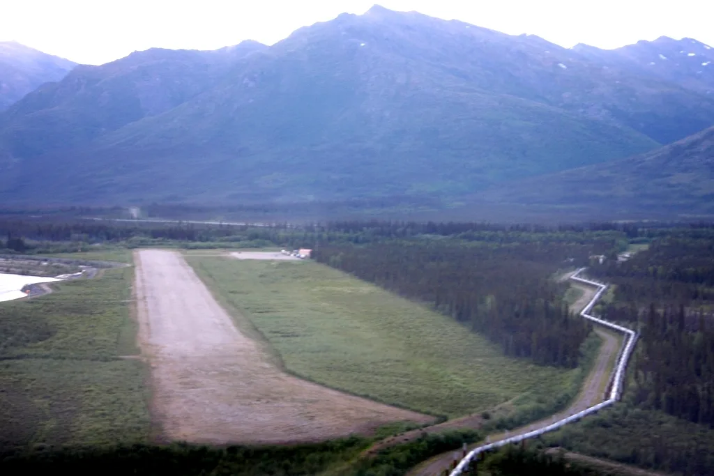
Coldfoot Airport in Fairbanks, AK 99701 (Unorganized Borough) is an airfield (IATA: CXF, ICAO: PACX). Coldfoot Airport is also known as CXF. Ⓦ.
Image
Streets nearby
Airport RoadColdfoot, Stony River, Chicken Saloon
0.4 mi
Coldfoot RoadColdfoot Camp
0.6 mi
Slate Road1.8 mi
Dalton HighwayHess Creek Overlook, Welcome to the Dalton Highway, Arctic Circle, Arctic Circle Wayside, Gobblers Knob
4.7 mi
Winter TrailKuskovak, Shaktoolik Roadhouse, Cabins, Shea Roadhosue, Alexanders Village
5.6 mi
Wintertrail5.8 mi
Buildings nearby
Coldfoot Maintenance and Operations Camp0.4 mi
Campgrounds nearby
Marion Creek Campground4.6 mi
Motels nearby
The Inn at Coldfoot Camp0.8 mi
Post offices nearby
Coldfoot Post Office0.7 mi
Restaurants nearby
The Trucker's Cafe0.7 mi
Rivers nearby
Middle Fork Koyukuk River0.3 mi
Slate Creek2.0 mi
Streams nearby
Porcupine Creek2.7 mi
Rosie Creek4.7 mi
Emma Creek5.5 mi
Myrtle Creek5.7 mi
Marion Creek6.0 mi
Tire dealers nearby
Coldfoot Tire Repair Shop0.7 mi
Tourist information centers nearby
Arctic Interagency Visitors Center0.4 mi
Kanuti National Wildlife Refuge Winter Visitor Center0.7 mi
| Named after | Coldfoot |
|---|---|
| Elevation | 318 m |
| Operator | Alaska Department of Transportation & Public Facilities |
| Located in | Yukon-Koyukuk Census Area |
| Country | United States |
 Public transit map Unorganized Borough Legend
| Railway | |
| Bus | |
| Streetcar |
 Bicycle map Unorganized Borough Legend
| Bike path | |
| Bike lane on roadway | |
| Cycling allowed on bus lane | |
| Bicycle street | |
| Open to cyclists | |
| Open to cyclists, good path | |
| Cycling prohibited | |
| Cobblestone |
| Long-distance bike route | (depending on scale) | |
| Long-distance bike route |
 Pedestrian map Unorganized Borough Legend
| Path |
| Long-distance hiking trail | (depending on scale) | |
| Long-distance hiking trail | ||
| Pedestrians prohibited |