
Northway Airport in Northway, AK 99764
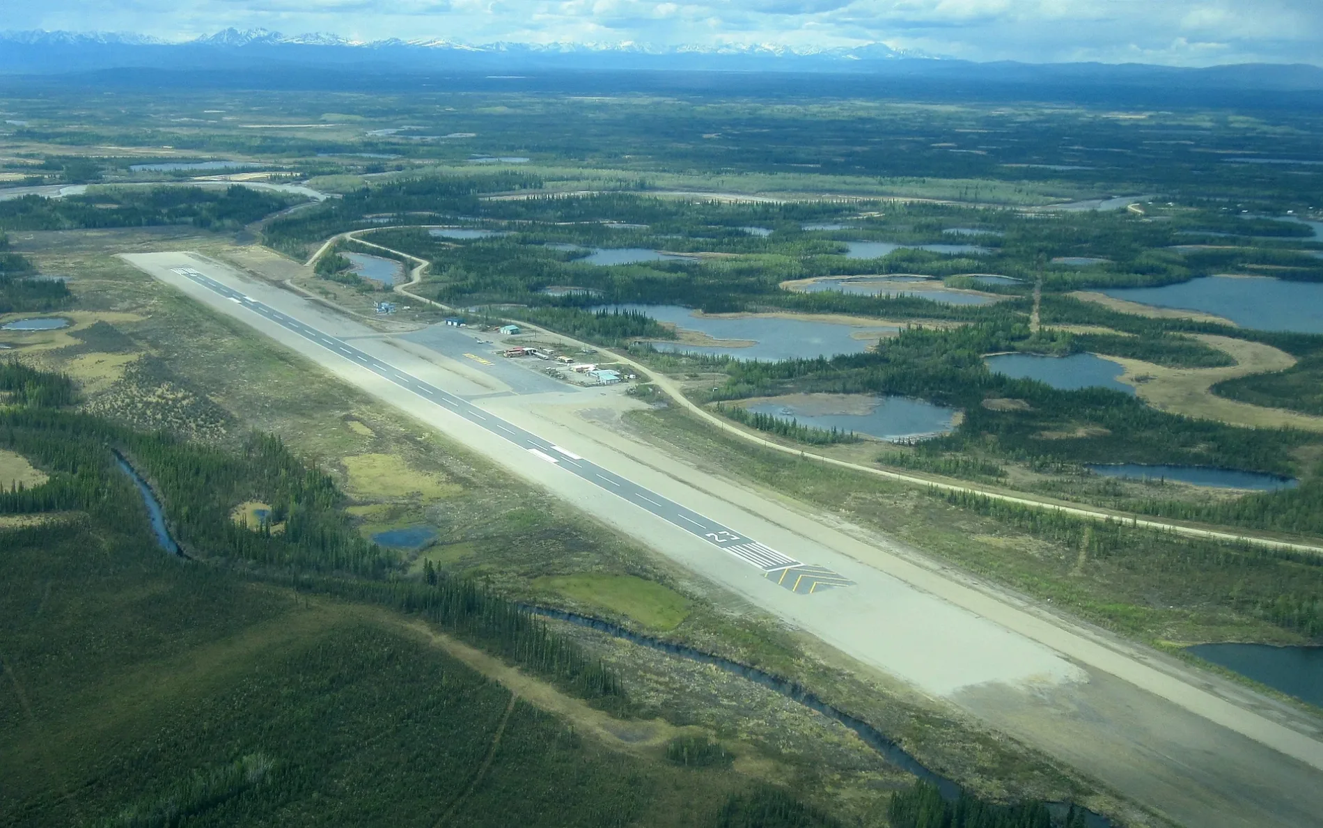
Northway Airport in Northway, AK 99764 (Unorganized Borough) is an airfield (IATA: ORT, ICAO: PAOR). Northway Airport is also known as Northway Airfield. Ⓦ.
- Alternate Name
- Northway Airfield
- Operator
- State of Alaska DOT&PF
Image
Streets nearby
Waste Disposal Road0.3 mi
Tractor TrailKechumstuk
0.8 mi
Sam Drive0.8 mi
Albert Drive0.9 mi
Radio Tower Access Road1.0 mi
East 1st Street1.4 mi
Circle Drive1.5 mi
West 1st Street1.6 mi
Northway RoadNorthway
3.1 mi
Tuuniign Road4.8 mi
Frank Sam Road5.0 mi
Chisana Road5.1 mi
Alaska HighwayNorthway Junction, Mukluk Land, Young's Chevron, Snowshoe Motel, Shell, Tok Visitor Center, Denali State Bank, Mile 410 Alaska Highway, Mile 385 Alaska Highway, Welcome to Alaska, Mile 400 Alaska Highway, Alcan Port of Entry, Beaver Creek Roadhouse, Feathered Travelers
5.2 mi
Campgrounds nearby
Naabia Niign Campground4.9 mi
Cemeteries nearby
Indian Cemetery1.2 mi
Convenience stores nearby
Naabia5.0 mi
Gas stations nearby
Naabia Niign Gas Station5.0 mi
Rivers nearby
Nebesna River1.5 mi
Nabesna River4.3 mi
School buildings nearby
Walter Northway School1.1 mi
Streams nearby
Charlieskin Creek3.9 mi
Mark Creek4.7 mi
Moose Creek5.4 mi
Waters nearby
Skate Lake1.2 mi
Pullin Lake1.9 mi
Andrew Lake2.2 mi
Long Lake2.4 mi
Tontethaimind Lake2.6 mi
Tushaday Lake3.8 mi
Thadthamund Lake4.6 mi
Shashamund Lake4.8 mi
Other nearby
Runway 5/230.1 mi
| Named after | Northway |
|---|---|
| Elevation | 1715 |
| Located in | Alaska |
| Country | United States |
 Public transit map Unorganized Borough Legend
| Railway | |
| Bus | |
| Streetcar |
 Bicycle map Unorganized Borough Legend
| Bike path | |
| Bike lane on roadway | |
| Cycling allowed on bus lane | |
| Bicycle street | |
| Open to cyclists | |
| Open to cyclists, good path | |
| Cycling prohibited | |
| Cobblestone |
| Long-distance bike route | (depending on scale) | |
| Long-distance bike route |
 Pedestrian map Unorganized Borough Legend
| Path |
| Long-distance hiking trail | (depending on scale) | |
| Long-distance hiking trail | ||
| Pedestrians prohibited |