
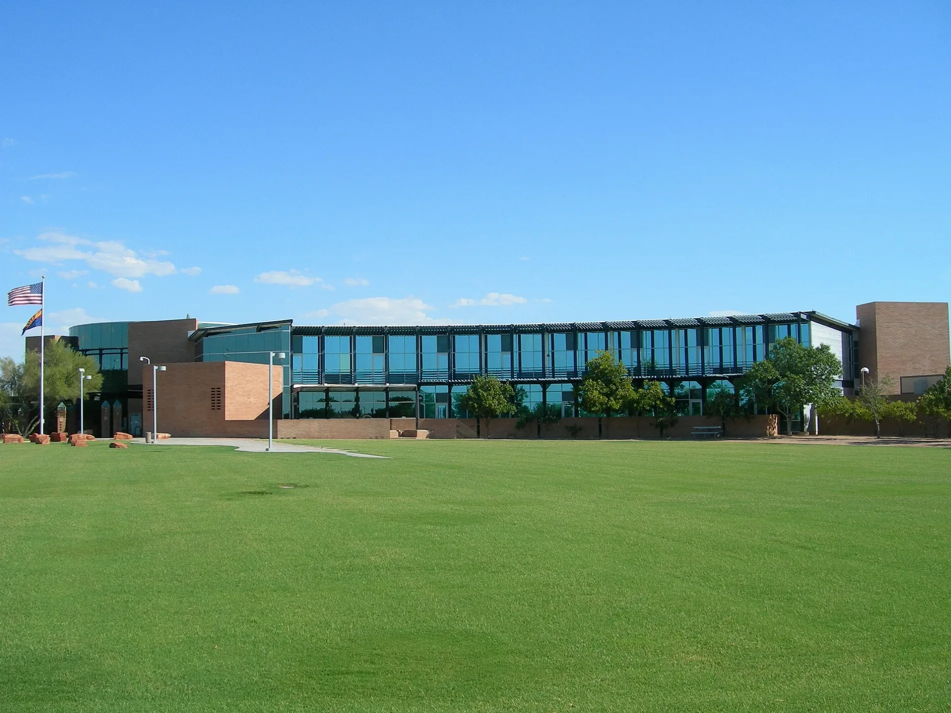
East Civic Center Drive in Gilbert, Arizona
East Civic Center Drive in Gilbert is a two-lane, asphalted local road. The street has bike paths (bike lane), with a roadway surface that is good. It runs in a northeast-southwest direction starting from East Warner Road and crosses Nunneley Road, American Heroes Way and South Gilbert Road. Nearby you can find among others 3 hair salons, 2 beauty salons, a vape shop and a locksmith. The nearest stops are Civic Center Dr & Warner Rd, Civic Center Dr & Nunneley Rd and Gilbert Civic Center. The bus lines 136 NB and 136 SB serve this stop.
- Road Type
- local road
- Lanes
- 2
- Speed Limit
- 25 mph
- Route
- northeast-southwest
Image
Beauty salons
Dentist offices
Ice cream shops
Hair salons
Vape shops
Clinics
Art galleries
Clothing stores
Bus stops
- bus lines 136 NB, 136 SB
Locksmiths
Massage therapy clinics
Cafes
Restaurants
Streets nearby
Gilbert Town Square AvenueThe Great Gadsby Bakery, Arizona Cruise & Travel, Sport Clips, Chipotle, Wayback Burgers, Phoenicia Cafe, Gilbert Fireplaces & BBQ's
0.1 mi
South Gilbert RoadGilbert Rd & Long Meadow Dr, Gilbert Rd & Silver Creek Rd, Gilbert Rd & Hackamore Av, Sudden Gleam, Gilbert Rd & Palo Verde St, Gilbert Rd & Elliot Rd - Gilbert Museum, Gilbert Rd & Laurelwood Dr, Dairy Queen, Bongiorno Bagels, Ombré Nail Spa, Gilbert Rd & Pecos Rd, Gilbert Rd & Fairview St, Gilbert Rd & Fairview St - CGCC Pecos, Gilbert Rd & Harrison St, Gilbert Rd & Galveston St, Yao Chinese Restaurant, Subway, Star Nails & Spa, The UPS Store, XIT, Burrito Express Gilbert, T-Mobile, Gilbert Rd & Oakland St, Gilbert Rd & Williams Field Rd, Chevron, Gilbert Rd & Ray Rd, Gilbert Rd & Cypress St, TanMax, Cloud9 Nails, Mathnasium, Panda Express, Gilbert Rd & Civic Center Dr, Soda Rush, A Better Tint & Accessories, Arizona Glass Company, Gilbert Rd & 1500 South, Gilbert Pizza
0.2 mi
West Jasper Drive0.2 mi
Dove Street0.2 mi
Consolidated Canal Path0.2 mi
East Knox Road0.2 mi
South Ash StreetZebra Nails & Spa
0.2 mi
East Brooks Street0.3 mi
South 135th Place0.3 mi
West Cypress Street0.3 mi
South 134th Place0.3 mi
American Heroes Way0.3 mi
West Temple Court0.3 mi
Spartan Street0.3 mi
South Sahuaro Street0.3 mi
West Sheffield Avenue0.4 mi
West Windsor Drive0.4 mi
South Pueblo Court0.4 mi
South Saguaro Street0.4 mi
South Oak Street0.4 mi
West Eagle Lane0.4 mi
West Gail Drive0.4 mi
West Golden Street0.5 mi
East Golden Street0.5 mi
South Elm StreetLittle Caesars, The Ohm Factory Vape Shop, Orange Julius
0.5 mi
West Baylor Lane0.5 mi
West Betsy Lane0.5 mi
Banks nearby
Bank of America0.2 mi
Buildings nearby
Town of Gilbert Administration0.1 mi
Town of Gilbert Municipal Building0.2 mi
Courthouses nearby
Town of Gilbert Municipal Court0.1 mi
Dentist's offices nearby
Town Square Dental0.3 mi
Escape rooms nearby
International Room Escape AZ0.3 mi
Event venues nearby
Shenandoah Mill0.4 mi
Fire stations nearby
Town of Gilbert Fire Administration0.2 mi
Movie theaters nearby
Regal Cinemas0.3 mi
Music stores nearby
The Grand Piano Store0.3 mi
My First Piano0.3 mi
Places of worship nearby
Christ Church - Gilbert Campus0.3 mi
Police stations nearby
Town of Gilbert Police Department0.1 mi
Residential areas nearby
Town Commons0.1 mi
Cadia Crossing0.3 mi
Restaurants nearby
Cold Beers & Cheeseburgers250 ft
Buffalo Wild Wings450 ft
Ahi Revolving Sushi0.1 mi
IHOP0.2 mi
Retail areas nearby
Gilbert Town Square100 ft
Lamoreaux Marketplace0.5 mi
Sports centers nearby
Bounce U0.3 mi
Public transit map Gilbert Legend
| Railway | |
| Bus | |
| Streetcar |
Bicycle map Gilbert Legend
| Bike path | |
| Bike lane on roadway | |
| Cycling allowed on bus lane | |
| Bicycle street | |
| Open to cyclists | |
| Open to cyclists, good path | |
| Cycling prohibited | |
| Cobblestone |
| Long-distance bike route | (depending on scale) | |
| Long-distance bike route |
Pedestrian map Gilbert Legend
| Path |
| Long-distance hiking trail | (depending on scale) | |
| Long-distance hiking trail | ||
| Pedestrians prohibited |