
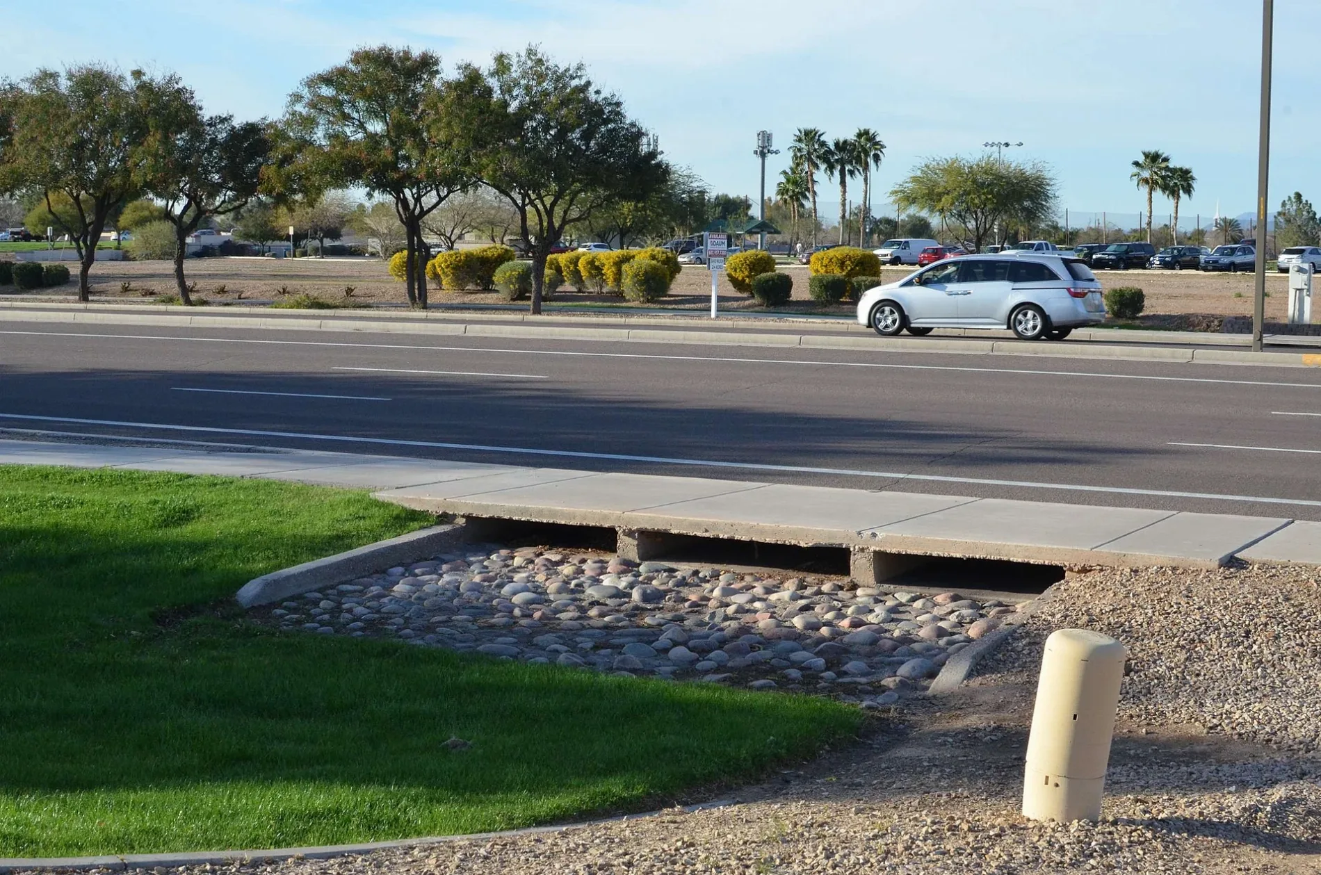
East Warner Road in Gilbert, Arizona
East Warner Road in Gilbert is a three-lane, asphalted secondary road. The street has bike paths (bike lane). It runs in an east-west direction starting from West Warner Road and crosses South Gilbert Road, East Civic Center Drive, South Larkspur Street, South Jacob Street, South Riata Street, South Lindsay Road, South Concord Street, South Roca Street, Western Skies Drive, South Val Vista Drive and Key Biscayne Drive. Nearby you can find among others 5 fast food restaurants, 3 dentist offices, 2 restaurants and a pub. The nearest stop is Warner Rd & Gilbert Rd. The bus lines 136 NB and 136 SB serve this stop. East Warner Road also exists in Chandler and Tempe.
- Road Type
- secondary road
- Lanes
- 3
- Route
- east-west
Image
Restaurants
Money transfer services
Ice cream shops
Charging stations
Fast food restaurants
Schools
Cell phone stores
Dentist offices
Bus stops
- bus lines 136 NB, 136 SB
Pubs
Hair salons
Video game stores
Streets nearby
East Brooks Court450 ft
East Pinto Drive550 ft
South Sequoia Drive550 ft
South Explorer Drive0.1 mi
San Joaquin Court0.2 mi
South Jamaica Court0.2 mi
Moorea Court0.2 mi
East Ranch Road0.2 mi
East Temple Court0.2 mi
South Canal Drive0.2 mi
Crossroads DriveChipotle, Bullfrog Spas Factory Store, Subway, Elbow's Mac & Cheese, Wingstop, World of Rugs, GameStop, Poke Hale, Gentle Dental, Crossroads Veterinary Hospital, The Jaded Root, Sangna Threading & Skincare, KayBeauty
0.2 mi
Marin Drive0.2 mi
South Catclaw Street0.2 mi
East Ranch Court0.2 mi
San Tan Drive0.2 mi
South Greenfield Road0.2 mi
Arabian Drive0.2 mi
Sorrell Lane0.3 mi
Bonita Street0.3 mi
South Jamaica Way0.3 mi
South Quinn Avenue0.3 mi
Appaloosa Road0.3 mi
East Palomino Drive0.3 mi
East Austin Drive0.3 mi
Churchill Drive0.3 mi
Buckskin Terrace0.3 mi
South Moorea Drive0.3 mi
Ruffian Drive0.4 mi
South Columbus Drive0.4 mi
East Saratoga Street0.4 mi
San Antino Drive0.4 mi
East Smoke Tree Road0.4 mi
Appaloosa Street0.4 mi
Tanina Street0.4 mi
Willow Wick Road0.5 mi
Mrl Lane0.5 mi
East Sagebrush Street0.5 mi
Rawhide Street0.5 mi
East Catclaw Street0.5 mi
Parkcrest Street0.5 mi
East Mesquite Street0.5 mi
East Robin Lane0.6 mi
East Robin Court0.6 mi
Palo Blanco Way0.6 mi
Fast food restaurants nearby
Filiberto's0.1 mi
Fitness centers nearby
Planet Fitness400 ft
Massage therapy clinics nearby
Health First Aesthetics250 ft
Parks nearby
Finley Farms South Tot Lot Park0.3 mi
Retail areas nearby
Warner Greenfield Square500 ft
 Public transit map Gilbert Legend
| Railway | |
| Bus | |
| Streetcar |
 Bicycle map Gilbert Legend
| Bike path | |
| Bike lane on roadway | |
| Cycling allowed on bus lane | |
| Bicycle street | |
| Open to cyclists | |
| Open to cyclists, good path | |
| Cycling prohibited | |
| Cobblestone |
| Long-distance bike route | (depending on scale) | |
| Long-distance bike route |
 Pedestrian map Gilbert Legend
| Path |
| Long-distance hiking trail | (depending on scale) | |
| Long-distance hiking trail | ||
| Pedestrians prohibited |