
East Calle Aspa in Sahuarita, Arizona
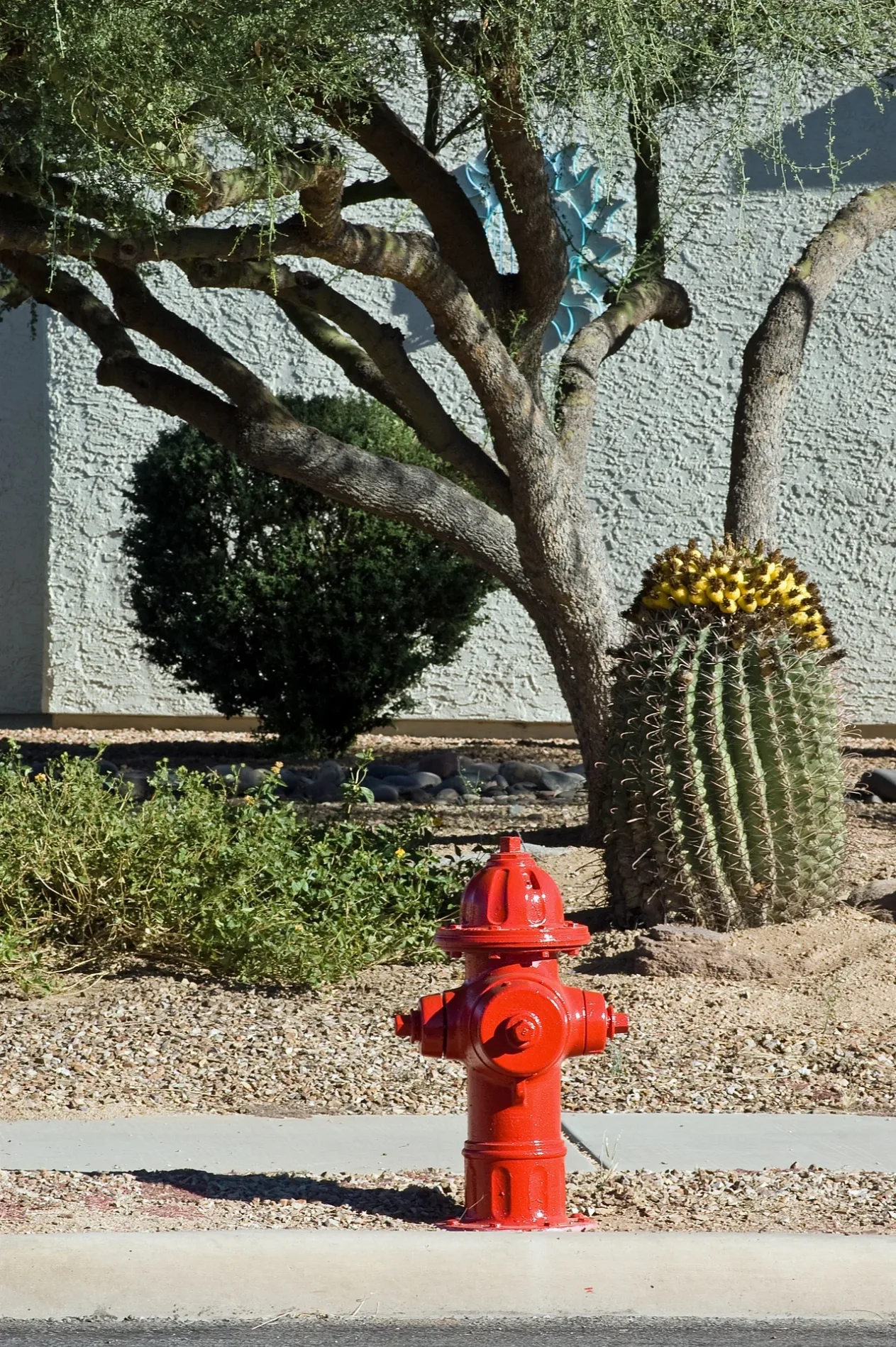
East Calle Aspa in Sahuarita is a residential street. It runs in an east-west direction starting from North Abrego Drive and crosses North Avenue Tabica and ends at North Avenenida Mena.
- Road Type
- residential street
- Route
- east-west
Image
Department stores
Banks
Variety stores
Beauty salons
Auto repair shops
Sporting goods stores
Fast food restaurants
Restaurants
Pet stores
Furniture stores
Massage therapy clinics
Cell phone stores
Dentist offices
Veterinary clinics
Bed stores
Payment terminals
Thrift stores
Streets nearby
North Abrego Drive250 ft
North Avenue Tabica300 ft
North Avenida del Petalo450 ft
North Avenenida Mena500 ft
East Cll Garbillo500 ft
East Calle Albita500 ft
East Calle de la Semilla0.1 mi
Placita del Petalo0.1 mi
East Calle Mingo0.1 mi
East Calle Cerita0.1 mi
Avenue Esclava0.2 mi
East Placita Del Polen0.2 mi
East Calle Pulsera0.2 mi
East Calle Trona0.2 mi
East Calle Criba0.2 mi
Calle del Capullo0.2 mi
East Placita de Aretes0.2 mi
North Avenenida Fina0.2 mi
East Calle Nacrita0.2 mi
North Camino Reloj0.2 mi
North Avenue Del Polen0.2 mi
East Calle Vivaz0.2 mi
North Vuelta Entera0.3 mi
East Calle Minerva0.3 mi
North Camino Reloz0.3 mi
Quail Crossing Boulevard0.3 mi
Abrego Drive0.3 mi
East Via Terrenal0.3 mi
East Duval Road0.3 mi
East Calle Cano0.3 mi
Nogales-Tucson Highway0.3 mi
South Nogales HighwayMOD Pizza, Pima Federal Credit Union, Popeyes, Verizon, Mattress Firm, Aspen Dental, AT&T, T-Mobile, Rigoberto's, Expert Nails, Jersey Mike's Subs
0.3 mi
Frontage Road0.4 mi
Duval Mine Interchance0.4 mi
North Paseo Acacia0.4 mi
East Camino de Diana0.4 mi
North Placita de Juno0.4 mi
East Calle Herbosa0.5 mi
Auto parts stores nearby
AutoZone0.4 mi
Cafes nearby
Dutch Bros0.4 mi
Convenience stores nearby
Circle K0.5 mi
Department stores nearby
Bealls0.4 mi
Fast food restaurants nearby
Burger King0.4 mi
Arby's0.4 mi
Culver's0.4 mi
Carl's Jr.0.5 mi
Restaurants nearby
Denny's0.3 mi
Pizza Hut0.4 mi
Supermarkets nearby
Sprouts Farmers Market0.4 mi
Public transit map Sahuarita Legend
| Railway | |
| Bus | |
| Streetcar |
Bicycle map Sahuarita Legend
| Bike path | |
| Bike lane on roadway | |
| Cycling allowed on bus lane | |
| Bicycle street | |
| Open to cyclists | |
| Open to cyclists, good path | |
| Cycling prohibited | |
| Cobblestone |
| Long-distance bike route | (depending on scale) | |
| Long-distance bike route |
Pedestrian map Sahuarita Legend
| Path |
| Long-distance hiking trail | (depending on scale) | |
| Long-distance hiking trail | ||
| Pedestrians prohibited |