
West Salome Loop Road in Sahuarita, Arizona
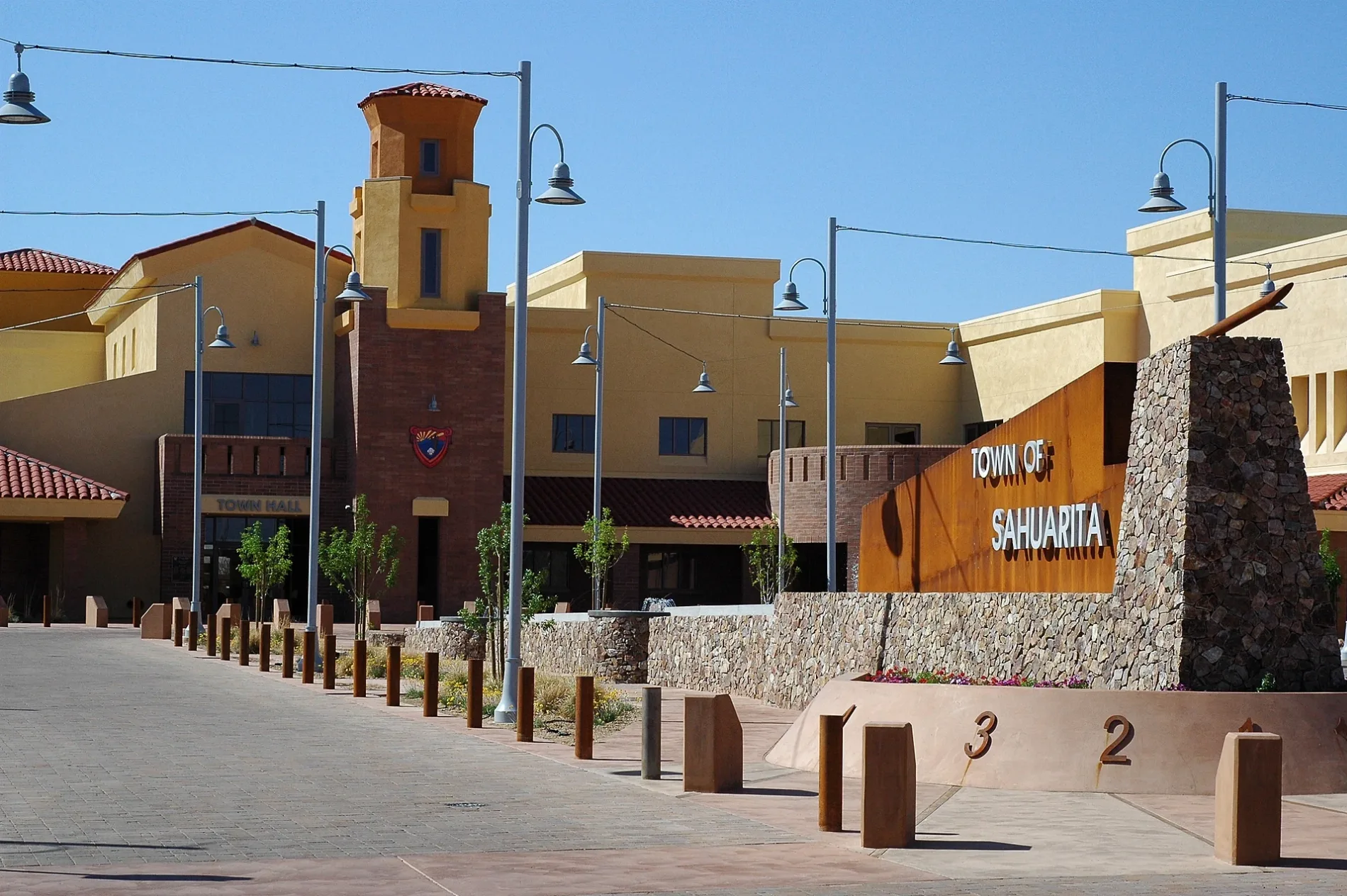
West Salome Loop Road in Sahuarita is a service road. It runs in a north-south direction and ends at West Sahuarita Road, while the other end is a cul-de-sac. Nearby there is a school.
- Road Type
- service road
- Route
- north-south
Image
Schools
Streets nearby
South Starlight View Lane0.2 mi
West Salome Loop0.2 mi
West Sahuarita Center WayTown of Sahuarita, Town of Sahuarita Municipal Courthouse
0.2 mi
Calle La Bolita0.2 mi
West Via Rancho SahuaritaPima County Library (Sahuarita)
0.3 mi
South Desert Gem Lane0.3 mi
West Alley Way0.3 mi
Vuelta Buril0.3 mi
Camino del Dragon0.3 mi
Camino Muesa0.3 mi
Vuelta Friso0.3 mi
South Rancho Sahuarita BoulevardSubway, New Day Cleaners, Tania's Mexican Food, Dunkin', Pub 22
0.4 mi
Paseo Celestial0.4 mi
South la Villita0.5 mi
Via Ejote0.5 mi
Avenida Cuaima0.5 mi
East Sahuarita RoadSahuarita, Sahuarita Post Office
0.5 mi
West Calle Espadero0.5 mi
West Sahuarita RoadBanner - University Medicine Multispecialty Services Clinic
0.5 mi
South Paseo Bocoy0.5 mi
South Paseo La Daga0.6 mi
West Paseo La Azanca0.6 mi
West Calle Vela Mayor0.6 mi
West Calle Falerno0.7 mi
South la Villita Road0.7 mi
West Calle El Acuario0.7 mi
Banks nearby
Chase0.4 mi
Buildings nearby
Sahuarita Unified School District0.2 mi
Pima County Library (Sahuarita)0.3 mi
Sahuarita Water Company0.3 mi
Car washes nearby
Speedy Wash0.3 mi
Community centers nearby
La Villita Community Center0.4 mi
Convenience stores nearby
Fry's Gas Station0.3 mi
Fast food restaurants nearby
Arby's0.2 mi
Taco Bell0.3 mi
Panda Express0.3 mi
McDonald's0.3 mi
Fire stations nearby
Rural Metro Fire Station 790.3 mi
Gas stations nearby
Speedway0.3 mi
Parks nearby
I'itoi Park0.4 mi
Places of worship nearby
The Church of Jesus Christ of Latter-day Saints0.3 mi
Religious areas nearby
Grace Evangelical Lutheran Church and Child Learning Center0.5 mi
Residential areas nearby
Entrada la Villita0.4 mi
Presidio del Cielo0.4 mi
Retail areas nearby
The Corner at Rancho Sahuarita0.2 mi
School buildings nearby
Wrightson Ridge School (K-8)0.4 mi
Sports centers nearby
Sahuarita Aquatic Center0.3 mi
Theaters nearby
Sahuarita District Auditorium350 ft
Town halls nearby
Town of Sahuarita Municipal Courthouse0.2 mi
 Public transit map Sahuarita Legend
| Railway | |
| Bus | |
| Streetcar |
 Bicycle map Sahuarita Legend
| Bike path | |
| Bike lane on roadway | |
| Cycling allowed on bus lane | |
| Bicycle street | |
| Open to cyclists | |
| Open to cyclists, good path | |
| Cycling prohibited | |
| Cobblestone |
| Long-distance bike route | (depending on scale) | |
| Long-distance bike route |
 Pedestrian map Sahuarita Legend
| Path |
| Long-distance hiking trail | (depending on scale) | |
| Long-distance hiking trail | ||
| Pedestrians prohibited |