
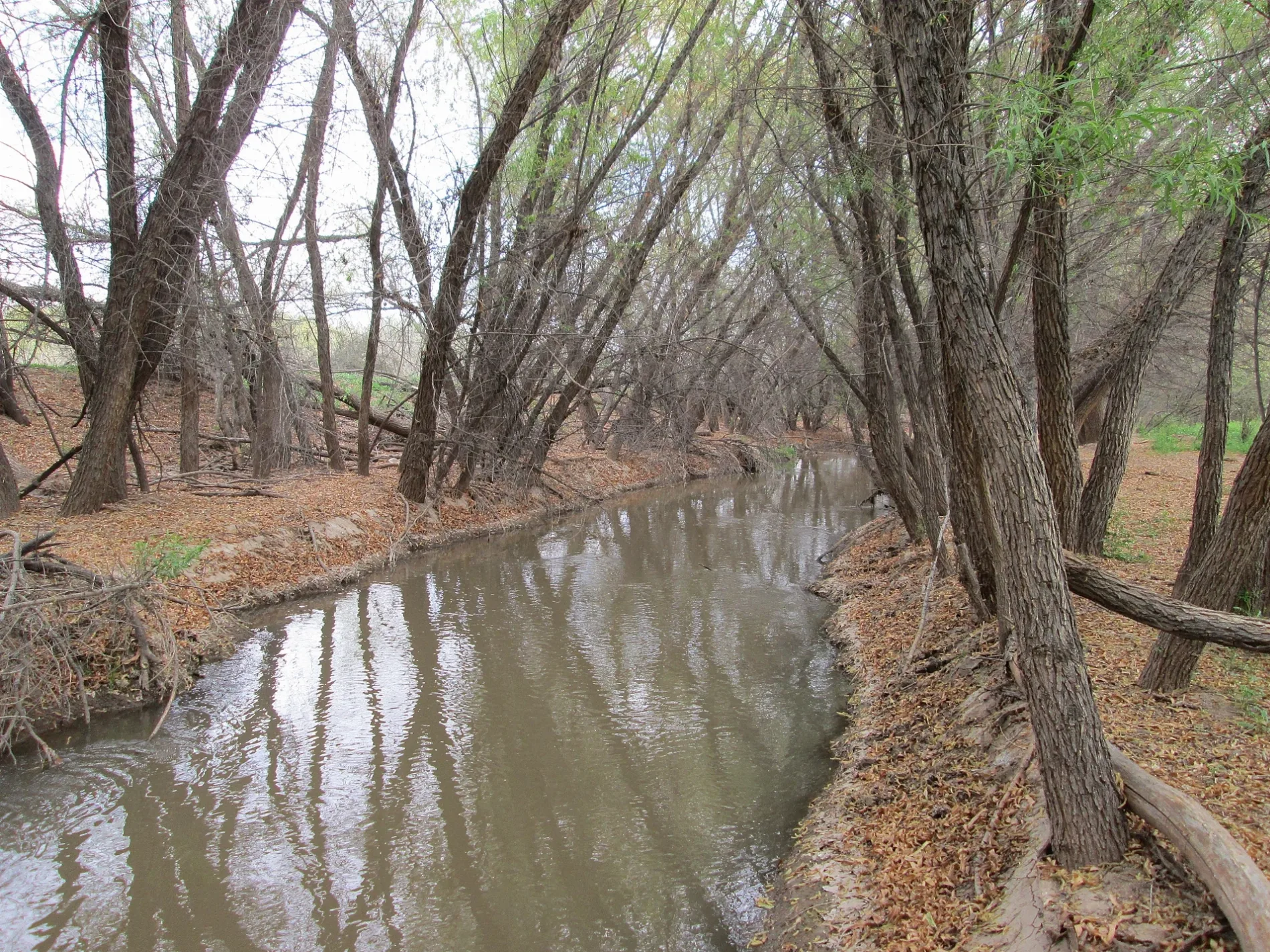
Santa Cruz River in Green Valley, AZ 85614
Santa Cruz River in Green Valley, AZ 85614 (Pima County) is a river. Santa Cruz River is also known as Rio Santa Cruz. Santa Cruz River also exists in Pinal County and Santa Cruz County. Ⓦ.
- Waterway Type
- river
Image
Streets nearby
South Greenside Place550 ft
South Greenside0.1 mi
South Fade Drive0.2 mi
South Chipshot Drive0.2 mi
Anza Trail0.2 mi
South Rita Vista Drive0.3 mi
West Wedge Way0.3 mi
o0.3 mi
West Hopkins Vista Drive0.3 mi
West Sunrise Vista Drive0.3 mi
West Calle Torres Blancas0.4 mi
South Garden of Eden Drive0.4 mi
Continental Vista Place0.4 mi
South Pecan Vista Drive0.4 mi
South Pecan Valley Place0.4 mi
West Pecan Valley Drive0.4 mi
South Orchard View Drive0.5 mi
Frontage RoadChevron
0.5 mi
Nogales-Tucson Highway0.5 mi
Via Espinosa0.5 mi
South Via Pompilo0.5 mi
South Camino Godoy0.5 mi
South Via Massari0.5 mi
South Via Alonso0.5 mi
South Via Anzavita0.5 mi
West Desert Hills Drive0.6 mi
South Desert Ridge Drive0.6 mi
South Cliff Drive0.6 mi
South Calle Ibanez0.6 mi
West Greenview Place0.6 mi
West Desert Trail0.6 mi
South Calle Morena0.6 mi
West Camino Iturbide0.6 mi
West Tiger Place0.6 mi
West Golf Course Place0.6 mi
South Waterfall Drive0.6 mi
La Calandria0.6 mi
West One Wood Place0.7 mi
West Camino del Arrendajo0.7 mi
West Links Lane0.7 mi
South Tee Box Court0.7 mi
West Mickelson Lane0.8 mi
South Abrego DriveGreat Valley Recreation Administrative Office
0.8 mi
West Crenshaw Lane0.8 mi
West Waterview Drive0.8 mi
Buildings nearby
Torres Blancas Golf Club0.6 mi
Parks nearby
Canoa Preserve Park0.6 mi
Railways nearby
UP Nogales Subdivision0.5 mi
Sports fields nearby
Chuck Catino Softball Complex0.6 mi
| Length | 296 |
|---|---|
| Located in | Pinal County, Pima County, Santa Cruz County, Sonora |
| Country | United States |
| Source | San Rafael Valley |
| Mouth | Gila River |
| Tributary | Sonoita Creek, Cañada del Oro |
 Public transit map Pima County Legend
| Railway | |
| Bus | |
| Streetcar |
 Bicycle map Pima County Legend
| Bike path | |
| Bike lane on roadway | |
| Cycling allowed on bus lane | |
| Bicycle street | |
| Open to cyclists | |
| Open to cyclists, good path | |
| Cycling prohibited | |
| Cobblestone |
| Long-distance bike route | (depending on scale) | |
| Long-distance bike route |
 Pedestrian map Pima County Legend
| Path |
| Long-distance hiking trail | (depending on scale) | |
| Long-distance hiking trail | ||
| Pedestrians prohibited |