
Van Buren, Arkansas
Van Buren is located in Crawford County. About 23,218 people live here (as of 2020). Between 2010 and 2020, the population grew from 22,791 to 23,218. The region is at 122 meters above sea level. The area covers about 42.0 square kilometers. There are about 889 streets in Van Buren. The region was founded in 1831. The ZIP codes are 72956–72957, 72956, 72957. The dialing code is 479. The name originates from Martin Van Buren (president of the United States from 1837 to 1841) Van Buren is city in Crawford County, Arkansas, United States. Among other things, Van Buren has restaurants, cafés, schools and banks. More information at www.vanburencity.org.
Van Buren – Facts
| Population | 23218 |
|---|---|
| Area | 42.0 km² |
| Named after | Martin Van Buren |
| Year built | 1831 |
| Elevation | 122 m |
| Located in | Crawford County |
| Postal code | 72956–72957 |
| Country | United States |
| Official name | Van Buren |
| Website | http://www.vanburencity.org |
Data source: Wikidata (CC0)
Photos from Van Buren
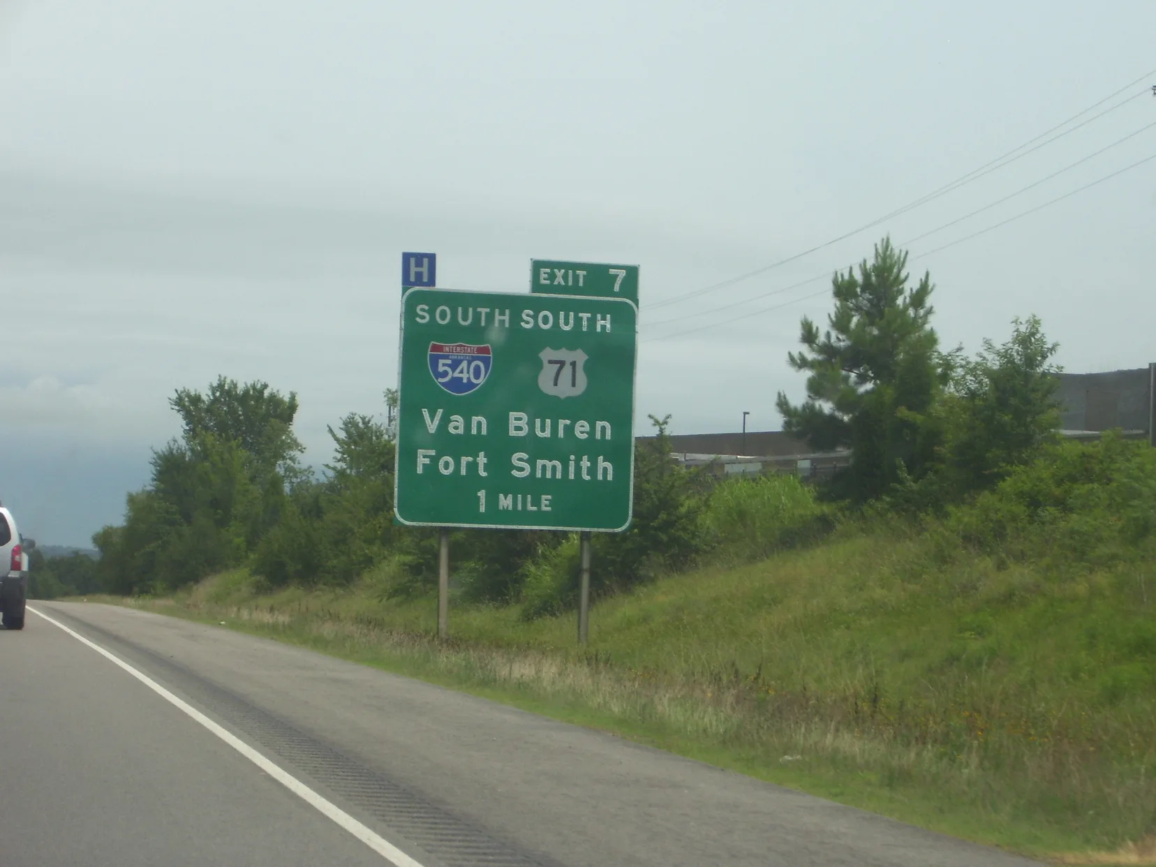
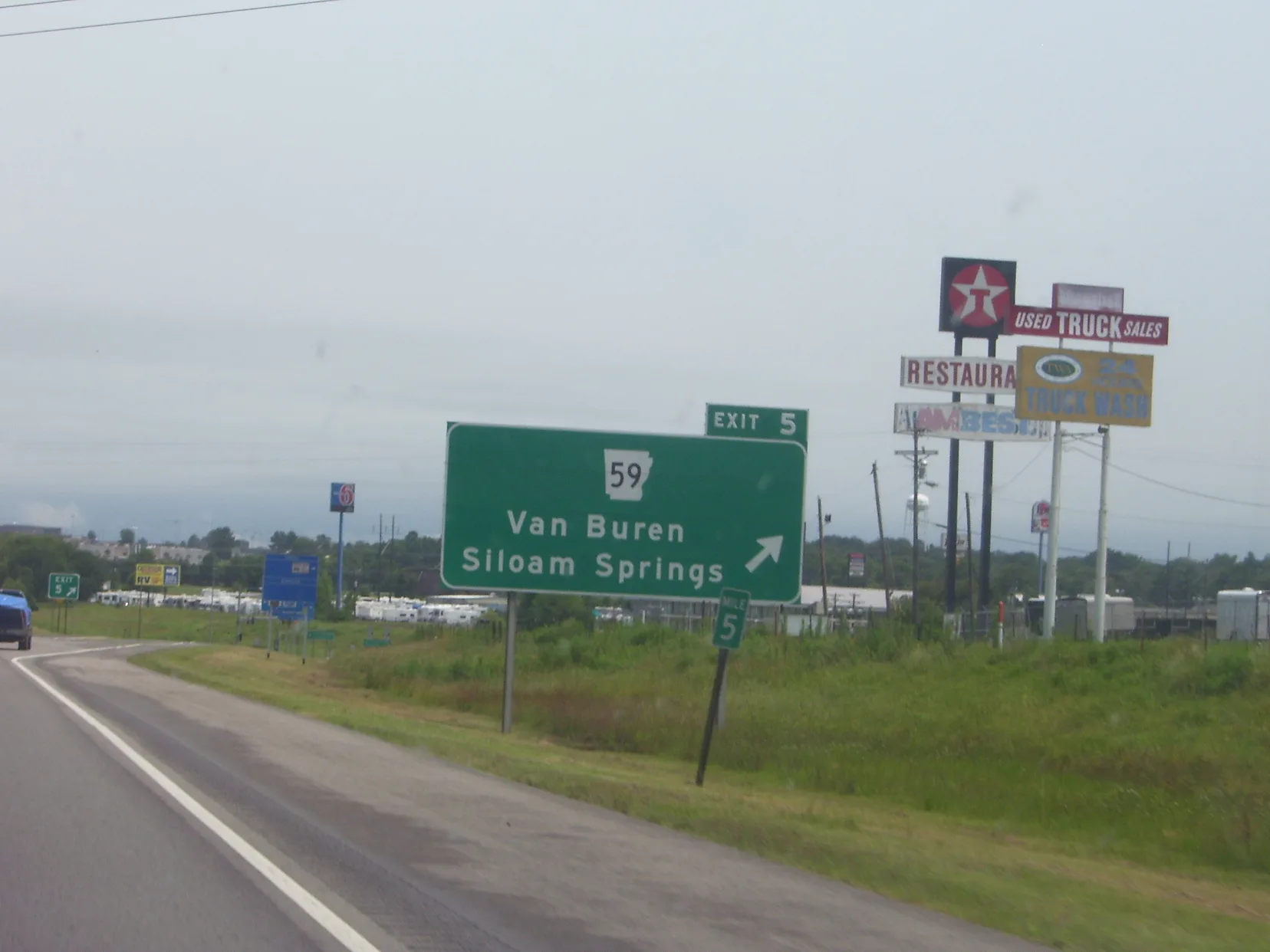
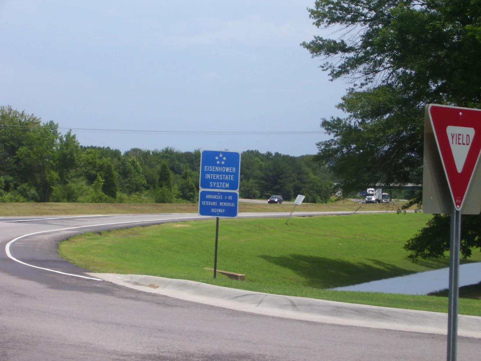
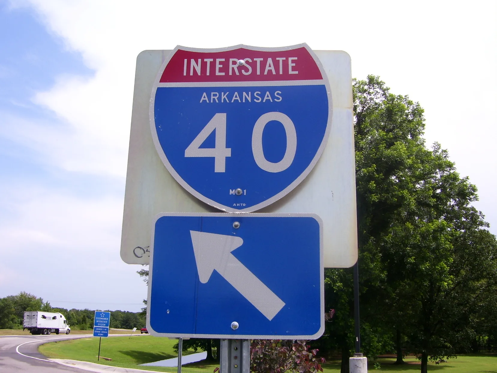
Streets in Van Buren, Arkansas
Streets
Elfin Glen
South 25th Circle
Major Henry Street
South 6th Street
Van Buren Historic District
Loveland Drive
North 34th Street
Shadowalk Drive
North Water Street
Pointer TrailSonic, Casey's General Store, Heritage United Methodist Church, North Park Baptist Church, Pointer Trail Baptist Church
North Henry Street
Spruce Street
Dark Hollow Lane
Azure Hills Drive
Westward Circle
South 36th Street
Gordon Avenue
Adeline Lane
North 27th Street
Bryan RoadVan Buren Fire Department Station 3
Vine Street
Linda Court
Lisa Court
Saratoga Court
South Park Street
South 25th Street
Pine StreetSaku Saku Hibachi Grill, Parkview Alliance Church
McKibben Street
North Hills Boulevard
North 12th Street
Hollis Drive
North 16th Street
Broken Hill Street
Anna Sue Road
Saratoga Drive
Lisa Circle
Lee Creek Road
North 6th StreetFollowers of Christ Church
Incline Drive
Laura Lane Circle
18th
Hillsdale Street
Northridge Circle
Park Ridge Circle
East 42nd Circle
North 18thFriendly Pentecostal Church of God
Dickens Place
West Elm Avenue
Meyer Drive
Aspen Avenue
Russell Road
Ada Bell Circle
Lovers Lane
Skyline Drive
Opal Drive
Georgia Street
Co-Op Drive
Taylor Street
Sycamore StreetPentecostal Church of God
North 23rd Circle
Pond Street
Ward Street
Monarch Drive
Foster Branch Street
Toothaker Drive
Webster Street
South 5th Street
North 37th Street
Cedar StreetFaith Tabernacle, Kingdom Hall of Jehovahs Witnesses
Jenny Wren Street
Hunter Hill Drive
Sylvan Hills
Maple Street
Chestnut Street
Ozier Circle
Martin Road
Mulberry Street
Oak Street
Broaddrick Lane
South 22nd StreetGreater Pilgrim Rest Baptist Church
Baldridge Lane
North 26th Street
Parkway Lane
Ozier Street
South 14th StreetNew Hope Baptist Church
Winter Park Circle
South 10th Street
Cedar Creek Drive
Marble Circle
Prospect StreetAntioch Missionary Baptist Church
Pernot Street
North 19th Street
North 18th Street
Timber Oaks Lane
Crape Myrtle Road
Williams
Lexington Drive
Anna Sue Circle
Hardin StreetFirst United Pentecostal Church
Ruby Drive
Bella Vista Street
North 17th
North 8th Street
Walnut StreetFirst Church Of God
Kitty Hawk Street
Cherry StreetVan Buren Public Library, Eastern Heights Baptist Church
Boulder Drive
Pebbles Circle
Elfen Glen Circle
Rickey Drive
Steward Street
Spruce Circle
Cecil Street
Elm Street
Rose Lane
O'Bryan Lane
Floyd Street
Cartwright Street
South 2nd StreetUP Van Buren Yard
Madison Street
South 35th Street
South 39th Street
Parkview Street
William Penn Street
Arkansas StreetCity Heights Elementary School
Mulberry
Rudy Road
Sandstone Drive
Falls Branch Lane
South 28th Street
South 28th Circle
South Co-op Drive
North 11th Street
Dechard Street
North 15th Street
James Street
McKinney Street
Starlite Drive
Rudy Road West
Park Ridge Drive
Bunker Hill Drive
Lura Lane
North 5th Street
North 9th StreetTrinity Episcopal Church
South 17th StreetGods Lighthouse Pentecostal Holiness Church
Woodwind Street
South 13th StreetUnion Pacific Van Buren Yard Office
Onyx Circle
Bekaert Drive
Mulberry Circle
Sherwood Street
Royale Drive
Amble-on Lane
North 16th
North 7th Street
Hospital Drive
Lisa Lane
Linda Lane
Madeline Drive
Poplar Street
North 28 Place
Azure Hill
Alpine Drive
Marianne Lane
Mitzi Lane
Hemlock Street
Breckenridge Drive
Short Lafayette Street
Terry Street
Todd Street
Branch Street
Radio Tower Road
West Poplar Street
Trenton Circle
Broken Hill Drive
Woodrow Street
Alma BoulevardBethlehem Freewill Baptist Church
North Plaza Court
South 8th Street
South 4th StreetPentecostal Church of Tomorrow
Deer Trail
Blueberry Hill Drive
North 36th Street
Rudy Road Circle
Lori Lane
Westward Street Drive
Quarry Drive
Shady Lane
North 20th StreetFreedom Ministry Church
Lafayette Street
May Drive
North Park Street
North Plaza DrivePopeyes
North 29th Street
North 25th Street
River Road East
Lisa Lane West
Valley Forge Street
Murta Street
Northridge Drive
Crested Butte Circle
Laura Lane
Bonair Street
24th Street
North 14th Street
Topaz Way
Amy Lane
Amy Street
Bunker Hill Circle
Segar Street
Diamond Circle
Woodwind Way
Gothic Ridge Road
Evergreen Drive
Flat Rock Circle
Northview DriveTobacco Mart
Mount Vista Avenue
Lee Creek Drive
Harrell Street
River Ridge Road
Rickey Circle
Emma Street
South 40th Street
Highland Street
South 45th Street
North Fayetteville RoadVista Church, Christian Life Academy, Waffle House, Freddy's, Braum's, Van Buren Supercharger, AT&T, Tropical Smoothie Cafe, 7 Brew Coffee, Citgo, Conoco, Chick-fil-A, O'Reilly Auto Parts, La Fiesta, United Federal Credit Union, Verizon, Pizza Hut, Casey's, Little Caesars, T-Mobile, Advance Auto Parts, City Heights United Methodist Church, First Assembly of God Church
Vinsett Lane East
Crestview Drive
Drennen Street
South 34th Street
South 38th Street
Wofford Street
Mary Allen Street
Starbird Bend
Buena Vista Avenue
East Main StreetCrawford County Sheriff's Office, Van Buren Church of Christ, Arkansas and Missouri Railroad Depot, Arts on Main, First Baptist Church
Main StreetLangston Drug, Arkansas Aikikai
Darla Lane
Access Road
Taft Street
Trenton Drive
Valley View Street
North 3rd Street
Baldwin StreetVan Buren
Arapahoe Drive
North Washington Street
North 22nd StreetCalvary Missionary Baptist Church
South 27th Street
Heritage Drive
Taos Circle
North 10th Street
Scott StreetUP Van Buren Yard
Kibler Road
Granite Circle
South Park
North 4th Street
Concord Circle
Vinsett Lane West
South 12th Street
Cowden Court
Cloudbridge Drive
East Grand Avenue
Clyde Cate Road
27th Street
Brandywine Circle
Vista Hills Boulevard
Bear Track Drive
Spruce Street West
Mount Vista BoulevardVan Buren Fire Department Station 2
Teddy Street
Alta Vista Street
Pearl Boulevard
Willow Street
Teluride Drive
South 42nd Street
Rena RoadChurch of Christ, Alexander Memorial Church, Bear Mountain Pawn Shop
Highland Avenue
Pearl Circle
Crawford Memorial Drive
Elm
Wood Street
Somerset Way
North 30th StreetButterfield Assembly of God Church
South 23rd Street
Franklin Street
Emerald Drive
Cloverleaf Circle
South 7th Street
North 23rd Street
Marble Drive
North 35th Street
Royale Circle
Knox Street
North 28th StreetKum & Go
North 24th Street
Lexington Circle
Durango Drive
Harrison Street
Phillips Drive
Mable Nell Road
Ruby Circle
Hynes Street
Bon Air
Martha Drive
Sylvan Hills Street
Virginia Cove
North 13th StreetCrawford County Art Center
North 17th StreetRevival Temple
Timber View Street
Jefferson StreetOcker Funeral Home
North 8th Circle
West Pointer TrailSherwin-Williams, Citizens Bank & Trust Company
Azure Hills Drive West
Lost Bridge Street
Quartz Circle
South 43rd Street
Mountain Edge
Boardwalk Street
South 3rd Street
Butterfield Trail
Lee Creek Park Circle
Vista Hills Circle
Taos Drive
Crystal View
South 44th Street
Lincoln Street
Birch Street
Hidden Valley Street
South 21st Street
Yorktown Drive
Hilltop Place
North 21st Street
Vinsett Court
Winter Park Drive
Oak Lane
42nd Circle West
Woodland Creek Circle
Monarch Circle
James Circle
South 26th Street
Robinson StreetCommunity Chapel Church of God
Fir Drive
Cane Hill Street
Jacob Court
Highland Drive
North 23rd
South 15th Street
South 11th Street
Highland Circle
Park Avenue
Opal Circle
South 41st Street
Jordan Street
Flat Rock Court
Adams Street
Bridges Street
Pevehouse Place
Kerr Street
Alma HighwayRhodes Chevrolet
19th
Starlite Bend
Loch Lomand Drive
Kristi Lane
Floyd Lane
North 19th
Flat Rock Drive
N37th Street
Broadway StreetSonic, Papa John's, El Loritos
Kingsberry Drive
Granite Drive
Pebble Drive
Mountain Edge Street
South 9th Street
12th Street
Cloverleaf Street
Twin Circle Drive
30th Circle
Riggs Drive
Blue Ridge Drive
Kalei Lane
Parkway Circle
Brookside Drive
Laurel Oak Lane
Kaylonni Lane
Red Oak Circle
Willow Oak Drive
Red Oak Drive
Park Ridge Way
Meadowlark Lane
Kaylonni Circle
Old Oaks Lane
Green Meadow Drive
Forest Oaks Drive
Scarlet Oak Drive
Chestnut Oak Drive
Beacon Ridge Way
Aubrie Circle
Twin Oaks Drive
Pointer Trail East
TINA STTaco Bell, Whataburger
Elfen Glenn Street
Azure Hills
Copsey Drive
East Rena RoadArvest Bank
Beaver Drive
Maggie Lane
Cherry Circle
Charlene Circle
Powderhorn Drive
Ledanna Drive
Timberland Drive
Powderhorn Circle
Solitude Drive
East SandstoneNinja Japanese Express II
Lillie Lane
Kilgore Lane
Vail Drive
Shanna Drive
Dora RoadSunoco
City Park Road
Port Road
Riverfront Road
Industrial Park Road
Lincoln Hill Circle
North 43rd Street
North 44th Street
North23rd Street
Oven street
South 37th Street
Wellington Street
Wisteria Lane
Amy Court
Ollie Street
Liberty Drive
Rena Valley Circle
Rena Valley Way
Lee Creek Circle
Park Ridge Road
Quail Creek Drive
Washington Street
Robin Lane
Elfen Glen Street
Arkansas Welcome CenterVending Machines
Freshman Bus Lane
Old Uniontown RoadLee Creek Baptist Church
Walking Trail
Bill Circle
Bill Street
Griffen Street
Kevin Street
North 27th Place
North 12th Court
Cedar Creek CourtGame X Change
Sky Point Bend
Eastridge Drive
Azure Hills Circle
Legacy Boulevard
Bekaert Loop
Bus Lane
North 38th Street
North 39th Street
Delta Drive
Basin Drive
VBHS Bus Lane
Pevehouse Road
Aster Street
Thistle Street
Mimosa Street
Barberry Street
Parkview Bus LaneParkview Elementary School
Alma CircleAmenities
Railway
Shops
Arcades
Auto parts stores
Cafes
Fast food restaurants
Fire stations
Galleries
Gardens
Golf courses
Hardware stores
Hotels
Industrial areas
Movie theaters
Parks
Pharmacies
Places of worship
Police stations
Post offices
Quarries
Railway areas
Railway sites
Railways
Residential areas
Restaurants
School buildings
Social facilities
Sports centers
Sports fields
Stationery stores
Supermarkets
Theaters
Tourist information centers
Vape shops
Variety stores
Waters
 Public transit map Van Buren Legend
| Railway | |
| Bus | |
| Streetcar |
 Bicycle map Van Buren Legend
| Bike path | |
| Bike lane on roadway | |
| Cycling allowed on bus lane | |
| Bicycle street | |
| Open to cyclists | |
| Open to cyclists, good path | |
| Cycling prohibited | |
| Cobblestone |
| Long-distance bike route | (depending on scale) | |
| Long-distance bike route |
 Pedestrian map Van Buren Legend
| Path |
| Long-distance hiking trail | (depending on scale) | |
| Long-distance hiking trail | ||
| Pedestrians prohibited |