
Cherokee Village, Arkansas
Cherokee Village is located in Fulton County. About 4,780 people live here. Between 2010 and 2020, the population grew from 4,671 to 4,780. The region is at 211 meters above sea level. The area covers about 53.6 square kilometers. There are about 1.420 streets in Cherokee Village. The ZIP codes are 72525–72529. The dialing code is 870. Cherokee Village is city in Sharp County, Arkansas, United States. More information at www.cherokeevillage.org.
Cherokee Village – Facts
| Population | 4780 |
|---|---|
| Area | 53.6 km² |
| Elevation | 211 m |
| Located in | Fulton County, Sharp County |
| Postal code | 72525 |
| Country | United States |
| Official name | Cherokee Village |
| Website | http://www.cherokeevillage.org/ |
Data source: Wikidata (CC0)
Photos from Cherokee Village
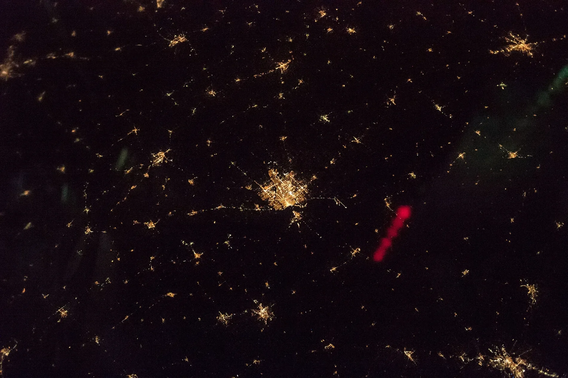





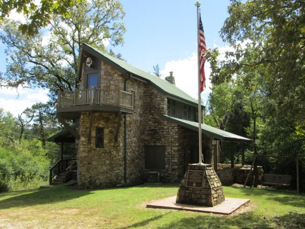
Streets in Cherokee Village, Arkansas
Streets
Adahi Trail
Totem Pole, Totem pole
Santee DriveCherokee Village Police Department, Cherokee Village City Hall
West Waketa DriveCherokee Village Waketa Fire Department
Iroquois DriveDollar General
Cochise Road
Summit Trail
Bayou Lane
Chac Mool Trace
Micco Circle
Watova Lane
Isleta Circle
North Lakeshore Point
Chinook Lane
Ochopee Drive
Toccoa Drive
Ozoo Circle
Charizzo Tc
Cheowa Circle
Sageeyah Lane
Basehart Road
Niska Drive
Aquohee Trace
Oktaha Lane
Ellijay Trace
West Miami Drive
Acoma Trace
Babiche Lane
Palouse Drive
Impa Circle
Shaganapp Lane
Yuma Trail
Alamo Trail
Kuhlahi Trail
Shattuck Lane
Odessa Trace
South Seca Drive
Wiyot Trace
Conda Drive
Redwing Drive
Keowee Lane
Pawkuska Lane
Katsina Drive
Avanyu Trail
Waketa Circle
Amuchee Tc
Wastch Trace
Hohokan Tc
Mohave Circle
Leflore Circle
Catoosa Circle
Cree Drive
Kawaia Trace
Puye Trail
Soco Trace
Tuscumbia Drive
Piegan Drive
Hopi Drive
Ozoo Road
Suwannee Lane
East Lakeshore Drive
Chicot Circle
Monongahela Drive
North Walla Walla Circle
Otter Drive
Withlacooche Drive
Hidalgo Trail
Watonga Drive
Matera Drive
Wiape Circle
Delaware Drive
Chuska Trace
Owasso Lane
Rue Trace
Oglalla Trace
Assiniboin Lane
Ada Drive
Poteau Trail
Dineh Circle
Kituhwa TraceParks
Public transit map Cherokee Village Legend
| Railway | |
| Bus | |
| Streetcar |
Bicycle map Cherokee Village Legend
| Bike path | |
| Bike lane on roadway | |
| Cycling allowed on bus lane | |
| Bicycle street | |
| Open to cyclists | |
| Open to cyclists, good path | |
| Cycling prohibited | |
| Cobblestone |
| Long-distance bike route | (depending on scale) | |
| Long-distance bike route |
Pedestrian map Cherokee Village Legend
| Path |
| Long-distance hiking trail | (depending on scale) | |
| Long-distance hiking trail | ||
| Pedestrians prohibited |