
North Gentry Street in Paragould, Arkansas
North Gentry Street in Paragould is a residential street. It runs in a north-south direction starting from North End Avenue and crosses Oliver Street and West Morgan Street and ends at West Plum.
- Road Type
- residential street
- Route
- north-south
Image
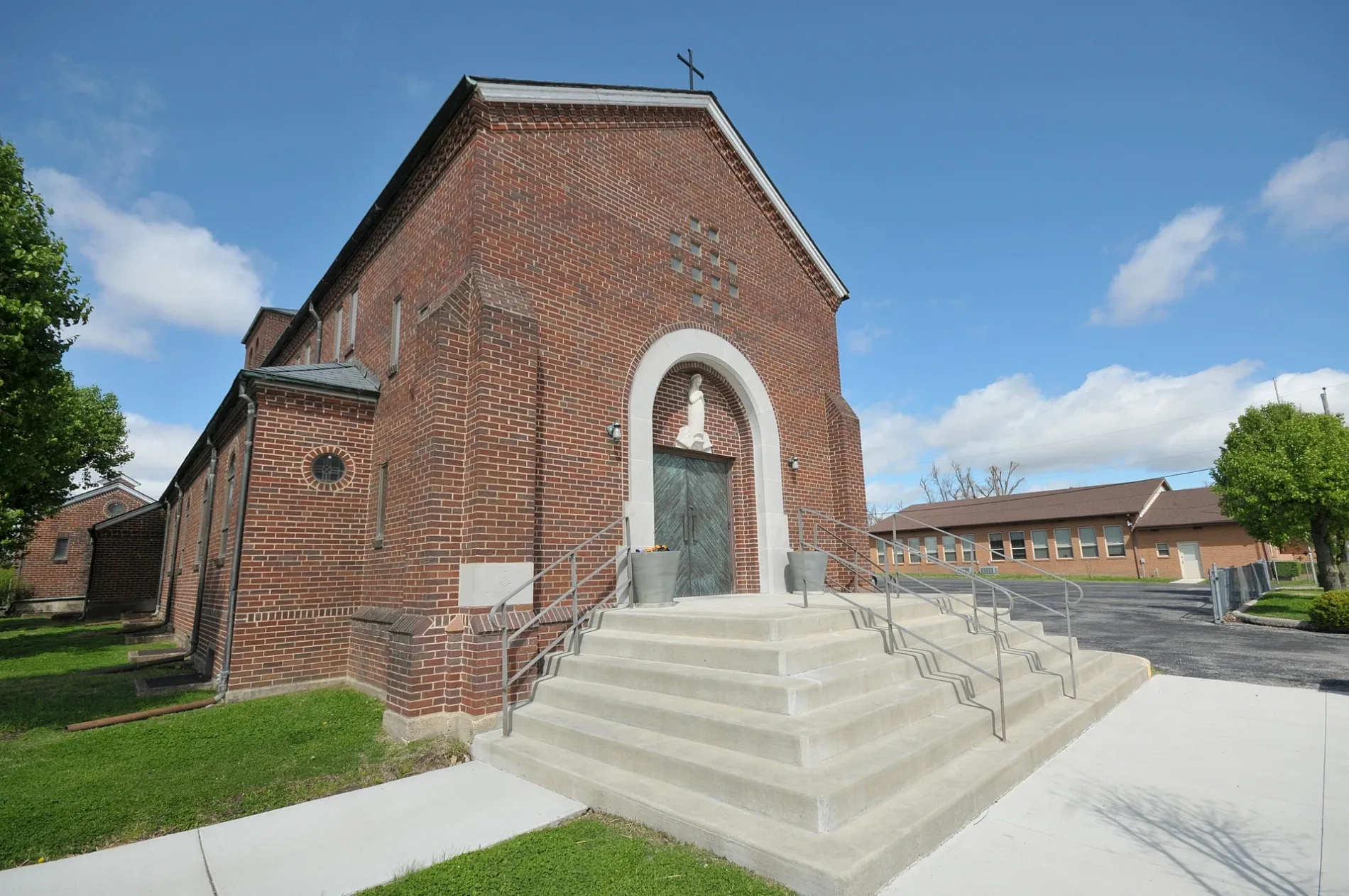
Fast food restaurants
Bakeries
Supplement stores
Variety stores
Libraries
Places of worship
Schools
Prisons
Animal shelters
Pharmacies
Fire stations
Streets nearby
Oliver Street350 ft
North End Avenue0.1 mi
West Northend Avenue0.1 mi
West Plum0.1 mi
West Light Street0.2 mi
West Morgan StreetWest View Baptist Church
0.2 mi
East Plum0.2 mi
Bradburn Street0.2 mi
North Pruett Street0.3 mi
East Hunt Street0.3 mi
North 2nd StreetSaint Marys School
0.3 mi
Vance Street0.3 mi
C Street0.3 mi
West Hunt Street0.3 mi
West Walnut Street0.3 mi
North 6 1/2 Street0.3 mi
North 5th Street0.4 mi
North 3rd Street0.4 mi
North 7th StreetFirst Assembly of God Church
0.4 mi
Rector RoadCalvary Baptist Church
0.4 mi
West McDonald Street0.4 mi
North 6th Street0.4 mi
East Highland Street0.4 mi
North 2nd Avenue0.4 mi
West Highland Street0.4 mi
East Walnut Street0.5 mi
Chestnut Street0.5 mi
North 7 1/2 Street0.5 mi
West Poplar Street0.5 mi
East Poplar StreetEast Side Baptist Church
0.5 mi
North 4th Street0.5 mi
North 8th Street0.5 mi
North 3 1/2 Street0.5 mi
North 3rd AvenueSchool of the 21st Century
0.5 mi
West Court StreetChurch of God
0.5 mi
Happy Go-Lucky Lane0.6 mi
West Emerson Street0.6 mi
East Emerson StreetGriffin Memorial United Methodist Church, Woodrow Wilson Elementary School
0.6 mi
South 4th StreetFirst Christian Church, DQ Grill & Chill
0.6 mi
South 3 1/2 StreetParagould-Greene County Jail
0.6 mi
Buildings nearby
Green County Courthouse0.6 mi
Courthouses nearby
Greene County Courthouse0.6 mi
Parks nearby
Old Courthouse Park0.5 mi
Centennial Park0.6 mi
Places of worship nearby
Walnut Street Church of Christ0.3 mi
Saint Mary Catholic Church0.4 mi
First Baptist Church0.5 mi
Police stations nearby
Paragould Police Department0.5 mi
Post offices nearby
Paragould Post Office0.5 mi
Public transit map Paragould Legend
| Railway | |
| Bus | |
| Streetcar |
Bicycle map Paragould Legend
| Bike path | |
| Bike lane on roadway | |
| Cycling allowed on bus lane | |
| Bicycle street | |
| Open to cyclists | |
| Open to cyclists, good path | |
| Cycling prohibited | |
| Cobblestone |
| Long-distance bike route | (depending on scale) | |
| Long-distance bike route |
Pedestrian map Paragould Legend
| Path |
| Long-distance hiking trail | (depending on scale) | |
| Long-distance hiking trail | ||
| Pedestrians prohibited |