
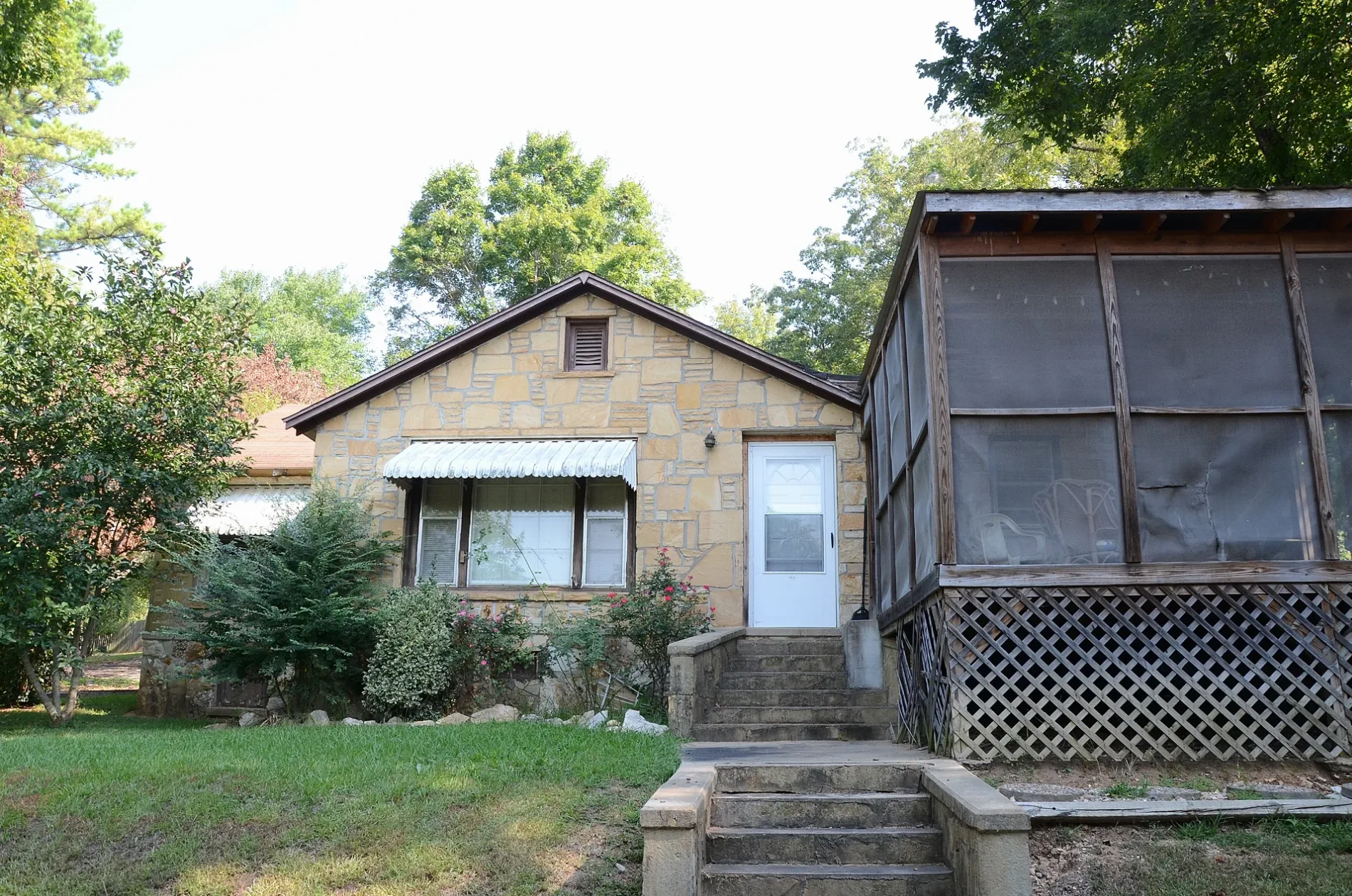
East Riverview Drive in Hardy, Arkansas
East Riverview Drive in Hardy is a local road. It runs in an east-west direction starting from West Riverview Drive and crosses North Spring Street, South Spring Street, Blue Bell Hollow, Beach Road, Buckaroo Lane and Sunny Lane and ends at East River Road. This street is part of the highway "342".
- Road Type
- local road
- Route
- east-west
Image
Restaurants
Gas stations
Supermarkets
Streets nearby
Beach Road300 ft
Buckaroo Lane0.1 mi
Pecan Grove Road0.2 mi
Village Street0.2 mi
Blue Bell Hollow0.2 mi
Sunny Lane0.2 mi
East River Road0.3 mi
Springwood Drive0.3 mi
Horn Street0.4 mi
Echo LaneCenturytel
0.4 mi
Dawson StreetValero, Hardy Police Department
0.4 mi
Groves0.4 mi
Sky High Drive0.4 mi
Springwood Lane0.4 mi
East Valley Road0.5 mi
East Main Street0.5 mi
Woodland Hills Road0.5 mi
Oak Street0.5 mi
Cope Avenue0.5 mi
Walnut0.5 mi
East 1st Street0.5 mi
Dogwood Lane0.5 mi
Burton0.5 mi
Peach0.5 mi
Kelly Avenue0.5 mi
French Lane0.5 mi
Front0.5 mi
North Spring StreetHardy
0.6 mi
Johnson0.6 mi
South Spring Street0.6 mi
2nd Street0.6 mi
Begalske Way0.6 mi
East 4th Street0.6 mi
Flint Cove0.6 mi
East 3rd Street0.6 mi
West 1st Street0.7 mi
Brink Road0.7 mi
Newsom0.7 mi
East 5th Street0.7 mi
West Main Street0.7 mi
School Avenue0.7 mi
Wahpeton Hill Circle0.7 mi
Bristow Road0.7 mi
Arkansas Traveler Road0.8 mi
Parks nearby
Walter Norman "Buck" Memorial Garden / Buford Beach250 ft
Loberge Park0.7 mi
Places of worship nearby
Hardy United Methodist Church0.7 mi
Residential areas nearby
Spring River Apartments0.3 mi
Rivers nearby
Spring River350 ft
 Public transit map Hardy Legend
 | Railway | |
| Bus | |
| Streetcar |
 Bicycle map Hardy Legend
 | Bike path | |
| Bike lane on roadway | |
| Cycling allowed on bus lane | |
| Bicycle street | |
| Open to cyclists | |
| Open to cyclists, good path | |
| Cycling prohibited | |
| Cobblestone |
| Long-distance bike route | (depending on scale) | |
| Long-distance bike route |
 Pedestrian map Hardy Legend
 | Path |
| Long-distance hiking trail | (depending on scale) | |
| Long-distance hiking trail | ||
| Pedestrians prohibited |