
West Walnut Street in Blytheville, Arkansas
West Walnut Street in Blytheville is a residential street (Road number AR 18). It runs in a West direction starting from East Walnut Street and crosses North 1st Street, North 2nd Street, North 3rd Street, North Broadway Street, North 5th Street, North 6th Street, North 7th Street, North 8th Street, North 9th Street, North 10th Street, North 11th Street and North Division Street. It ends in a cul-de-sac. Nearby there is among others a bank. West Walnut Street also exists in Benton County, Clay County, Greene County, Jackson County and Lawrence County.
- Road Type
- residential street
- Route
- east-west
Image
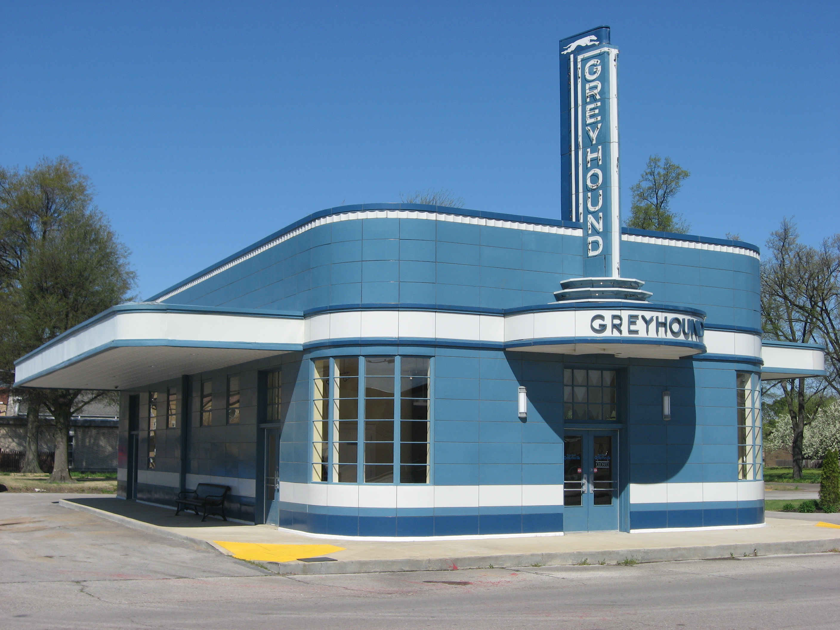
Banks
Streets nearby
North 6th StreetRose Pharmacy, Wagner Medical Clinic
200 ft
North 7th StreetTalk of The Town
550 ft
South 6th Street0.1 mi
South 7th Street0.1 mi
Elm Street0.2 mi
South 8th Street0.2 mi
North 8th Street0.2 mi
Hearn Street0.2 mi
North 9th Street0.2 mi
South 9th Street0.3 mi
West Ash Street0.3 mi
Chickasawba AvenueCherry Tree
0.3 mi
South 10th Street0.3 mi
North 10th StreetJust Cuttin Up, Kings Backyard BBQ, Smith Eye Center
0.3 mi
Abandoned railways nearby
Jonesboro, Lake City, & Eastern Railroad0.2 mi
Buildings nearby
Hearland Insurance250 ft
Dan Ritchey350 ft
Parasol Properties, LLC450 ft
Logan Finance Corporation450 ft
Mc Waters Realty Services450 ft
Car dealerships nearby
Diamond's Auto Sales Detailing & Towing450 ft
Trap's Auto Sales0.2 mi
Collector shops nearby
Arkham Comics & Used Books300 ft
Farm supply stores nearby
Purity Weed Control0.2 mi
Funeral homes nearby
Cobb Funeral Home450 ft
Wolfe Brothers Funeral Home0.1 mi
Gardens nearby
Blytheville Prayer Garden200 ft
Houses nearby
Judge Keck House0.2 mi
Aubrey Conway House0.2 mi
Lloyd Photography Studio0.2 mi
Taylor-Hardin House0.2 mi
Floyd Ward House0.3 mi
Farnsworth-Black House0.3 mi
Houchins House0.3 mi
Elkins House0.3 mi
Cecil Shane Residence0.3 mi
Douglas House0.3 mi
Industrial areas nearby
Federal Compress & Warehouse0.2 mi
Libraries nearby
Blytheville Public Library150 ft
Parks nearby
Founders Park300 ft
Places of worship nearby
First Lutheran Church100 ft
Revival Center Church250 ft
First Christian Church of Blytheville250 ft
First Baptist Church of Blytheville0.1 mi
First United Methodist Church of Blytheville0.1 mi
Residential areas nearby
8th Street Apartments0.2 mi
Restaurants nearby
Southern Unorthodox0.2 mi
School buildings nearby
Blytheville Middle School0.2 mi
Sports fields nearby
Mike Huffman Memorial Field0.3 mi
Public transit map Blytheville Legend
| Railway | |
| Bus | |
| Streetcar |
Bicycle map Blytheville Legend
| Bike path | |
| Bike lane on roadway | |
| Cycling allowed on bus lane | |
| Bicycle street | |
| Open to cyclists | |
| Open to cyclists, good path | |
| Cycling prohibited | |
| Cobblestone |
| Long-distance bike route | (depending on scale) | |
| Long-distance bike route |
Pedestrian map Blytheville Legend
| Path |
| Long-distance hiking trail | (depending on scale) | |
| Long-distance hiking trail | ||
| Pedestrians prohibited |