
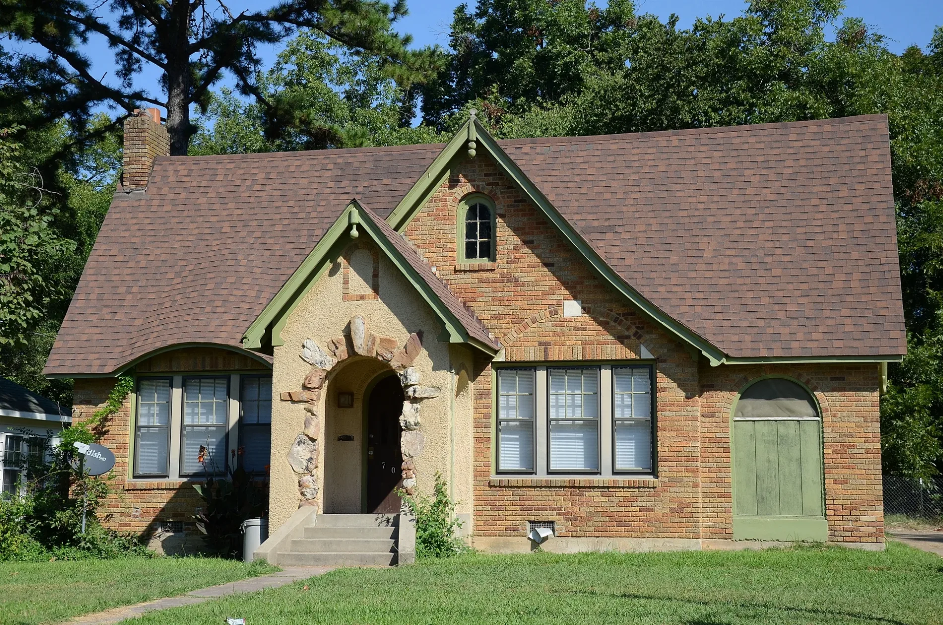
North Horton Street in Searcy, Arkansas
North Horton Street in Searcy is a residential street. It runs in a north-south direction starting from East Moore Avenue and crosses East Academy Avenue and ends at East Vine Avenue.
- Road Type
- residential street
- Route
- north-south
Image
Artworks
Galleries
Hotels
Places of worship
Outdoor stores
Cafes
Social facilities
Supermarkets
Secondhand stores
Event venues
Music stores
Restaurants
Fast food restaurants
Laundries
Clinics
Post offices
Ice cream shops
Streets nearby
East Moore AvenueSparrow's Promise, Arkansas State University-Beebe, Searcy Campus
300 ft
East Vine AvenueKids Unlimited, Bill's Cash Saver
400 ft
North Hussy Street550 ft
North Van Street0.1 mi
North Turner Street0.1 mi
Oak Grove Cementery0.2 mi
Brookhart Drive0.2 mi
North Charles Street0.2 mi
North Oak Street0.2 mi
Virgil Avenue0.2 mi
North Locust StreetSearcy Art Gallery
0.3 mi
East Race AvenueChili's, Chick-fil-A, GameStop, Shoe Dept., McAlister's, Verizon, Express Oil Change & Tire Engineers, Castano's Sushi House, Burgers, Fries, & Pies, Enterprise, Little Caesars, Starbucks, Midnight Oil, Firehouse Subs, Hope Restored, Subway, Knight Fire Craft Barbeque
0.3 mi
East Academy Avenue0.3 mi
North Main StreetSearcy
0.3 mi
West Academy Avenue0.4 mi
West Moore AvenuePleasant Grove Baptist Church
0.4 mi
East Arch Avenue0.4 mi
East Market AvenueTotal Eclipse, Heritage Inn, Harding University Post Office, Pallet Town Games
0.4 mi
North Spring Street0.4 mi
West Arch AvenueQuattlebaum's, Melt Art Studio
0.4 mi
East Steed Avenue0.4 mi
North Spruce StreetMake Do, Searcy Mural
0.4 mi
West Vine Avenue0.4 mi
East Steward Drive0.4 mi
West Steed Avenue0.5 mi
West Steward Drive0.5 mi
North Pine Street0.5 mi
Apartment buildings nearby
Bethanie’s Place0.2 mi
Banks nearby
First Security Bank0.3 mi
Buildings nearby
AT&T0.2 mi
Benjamin Clayton Black House0.2 mi
First Security Bank Technology Center0.3 mi
American Legion Hall0.4 mi
White County Judge's Office0.4 mi
White County Office Building0.4 mi
Cemeteries nearby
Oakgrove Cemetery0.1 mi
Oaklawn Cemetery0.3 mi
Churches nearby
Cumberland Presbyterian Church0.4 mi
Clinics nearby
Arkansas Heart Hospital Clinic0.3 mi
Commercial buildings nearby
Jesse N. Cypert Law Office0.4 mi
Courthouses nearby
White County Courthouse0.4 mi
Drugstores nearby
Walgreens0.2 mi
Gardens nearby
Downtown Church of Christ Community Garden0.3 mi
Laundries nearby
Searcy Suds Laundromat0.2 mi
Movie theaters nearby
Rialto Theater0.4 mi
Places of worship nearby
College Church of Christ0.1 mi
First Methodist Church0.3 mi
Religious areas nearby
Downtown Church of Christ0.3 mi
Restaurants nearby
Chit Chat Chew Cafe0.4 mi
 Public transit map Searcy Legend
| Railway | |
| Bus | |
| Streetcar |
 Bicycle map Searcy Legend
| Bike path | |
| Bike lane on roadway | |
| Cycling allowed on bus lane | |
| Bicycle street | |
| Open to cyclists | |
| Open to cyclists, good path | |
| Cycling prohibited | |
| Cobblestone |
| Long-distance bike route | (depending on scale) | |
| Long-distance bike route |
 Pedestrian map Searcy Legend
| Path |
| Long-distance hiking trail | (depending on scale) | |
| Long-distance hiking trail | ||
| Pedestrians prohibited |