
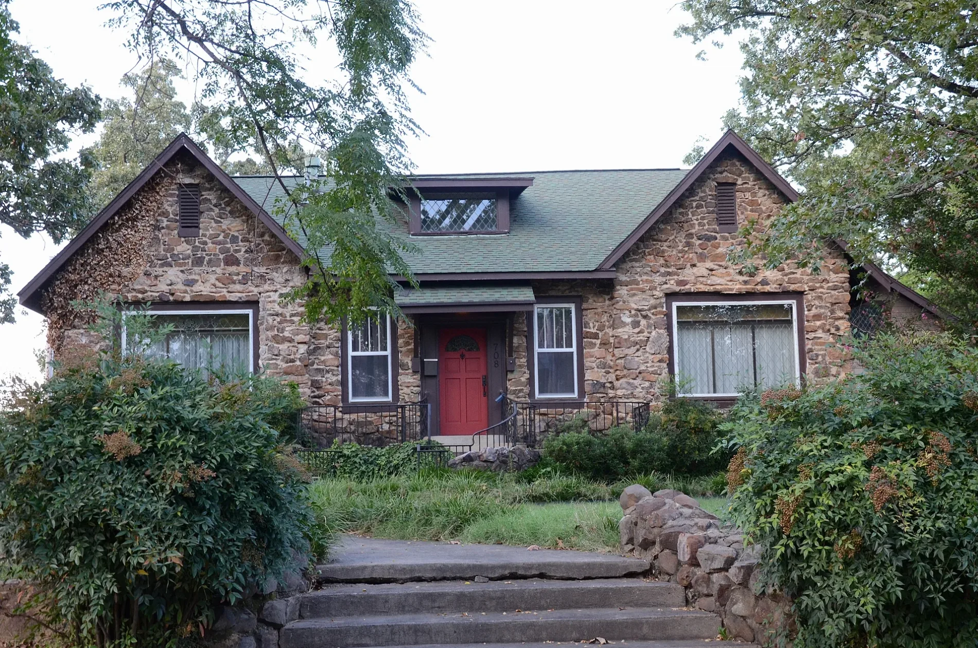
West Cherry Avenue in Searcy, Arkansas
West Cherry Avenue in Searcy is a residential street. It runs in an east-west direction starting from North Sowell Street and crosses North Birch Street, North Pear Street, North Hickory Street and North Maple Street and ends at Jayson Street. West Cherry Avenue also exists in Craighead County.
- Road Type
- residential street
- Route
- east-west
Image
Social facilities
Art galleries
Music stores
Bike shops
Galleries
Secondhand stores
Places of worship
Craft stores
Furniture stores
Cafes
Artworks
Restaurants
Schools
Beauty salons
Outdoor stores
Ice cream shops
Streets nearby
West McRae Avenue400 ft
Jayson Street400 ft
West Moore AvenuePleasant Grove Baptist Church
0.1 mi
North Pear Street0.2 mi
North Hickory Street0.2 mi
North Elm StreetFirst United Methodist Church
0.3 mi
North Birch Street0.3 mi
North Fir Street0.3 mi
West Race AvenueWest Race Baptist Church, Bee Kind
0.3 mi
North Sowell Street0.3 mi
North Maple Street0.3 mi
North Pecan Street0.3 mi
North Apple Street0.3 mi
North Pine Street0.3 mi
West Arch AvenueQuattlebaum's, Melt Art Studio
0.4 mi
West Steed Avenue0.4 mi
Searcy Water Utilities Drive-Through0.4 mi
North Gum Street0.4 mi
North Spruce StreetMake Do, Searcy Mural
0.4 mi
North College Street0.4 mi
Art Alley0.4 mi
South Maple Avenue0.5 mi
South Pecan Street0.5 mi
West Center AvenueSecond Baptist Church
0.5 mi
Artworks nearby
The Labyrinth0.3 mi
Auto repair shops nearby
First & Last Auto Glass0.1 mi
Buildings nearby
White County Office Building0.4 mi
White County Judge's Office0.4 mi
Searcy Information Technologies0.4 mi
Cafes nearby
Perk & Post0.3 mi
Churches nearby
Trinity Episcopal Church0.4 mi
Christ Temple Holiness Church0.5 mi
Commercial buildings nearby
Searcy Water Utilities0.4 mi
Searcy Code Enforcement & Inspection Department0.4 mi
Parks nearby
Vine Street Orchard0.3 mi
Presbyterian Park0.4 mi
Places of worship nearby
Revival Church of Searcy0.3 mi
West Side Church of Christ0.3 mi
Post offices nearby
Searcy Post Office0.2 mi
Public buildings nearby
Wilbur D. Mills Court Building0.4 mi
Religious areas nearby
Liberty Baptist Church0.3 mi
First Presbyterian Church of Searcy0.3 mi
Westside Church of Christ0.4 mi
School buildings nearby
Ahlf Junior High School0.3 mi
Stadiums nearby
Searcy Lion Stadium0.2 mi
Streams nearby
Deener Creek0.3 mi
Theaters nearby
Center On the Square0.5 mi
Town halls nearby
Searcy City Hall0.4 mi
Variety stores nearby
Dollar General450 ft
 Public transit map Searcy Legend
| Railway | |
| Bus | |
| Streetcar |
 Bicycle map Searcy Legend
| Bike path | |
| Bike lane on roadway | |
| Cycling allowed on bus lane | |
| Bicycle street | |
| Open to cyclists | |
| Open to cyclists, good path | |
| Cycling prohibited | |
| Cobblestone |
| Long-distance bike route | (depending on scale) | |
| Long-distance bike route |
 Pedestrian map Searcy Legend
| Path |
| Long-distance hiking trail | (depending on scale) | |
| Long-distance hiking trail | ||
| Pedestrians prohibited |