
West Mulberry Avenue in Searcy, Arkansas
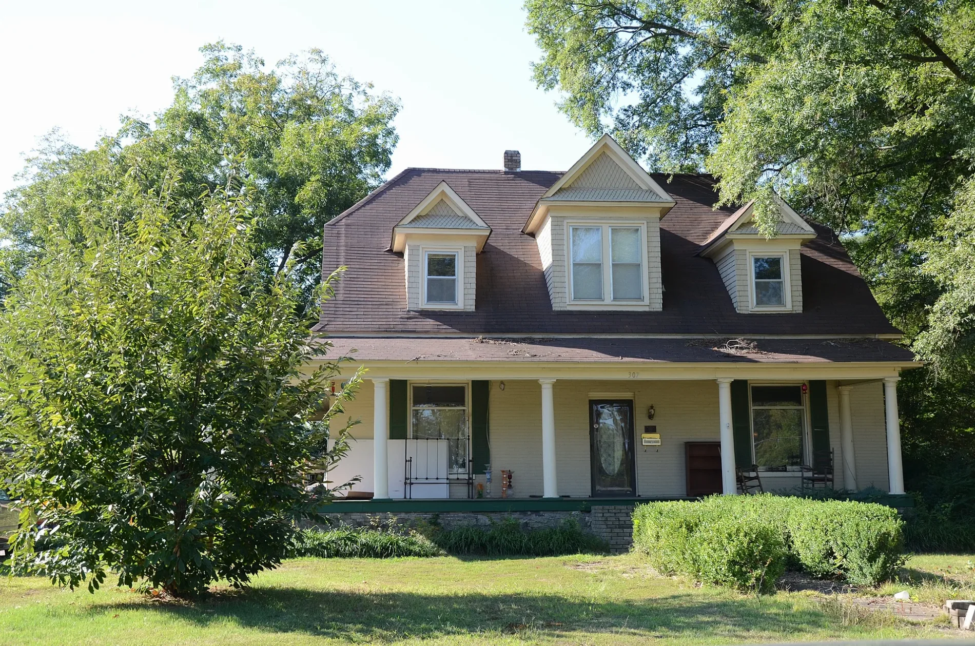
West Mulberry Avenue in Searcy is a residential street. It runs in an east-west direction starting from South Elm Street and ends at South Spring Street. West Mulberry Avenue also exists in Cross County.
- Road Type
- residential street
- Route
- east-west
Image
Ice cream shops
Health food stores
Clinics
Bike shops
Craft stores
Art galleries
Restaurants
Places of worship
Dentist offices
Cell phone stores
Outdoor stores
Secondhand stores
Beauty salons
Fast food restaurants
Artworks
Furniture stores
Cafes
Social facilities
Streets nearby
Chrisp AvenueCarmichael Community Center Vote Center
0.1 mi
South Elm Street0.2 mi
East Woodruff Avenue0.2 mi
South Elm Terrace0.2 mi
West Park Avenue0.2 mi
East Mulberry Avenue0.2 mi
South Spruce Street0.2 mi
Short0.2 mi
White County Federal Credit Union Drivethrough0.2 mi
South Main StreetGood Measure Market, Valero, Exxon
0.2 mi
Merritt Street0.2 mi
Williams Avenue0.2 mi
South Gum Street0.3 mi
South Fir Street0.3 mi
South Spring StreetPapa John's, Star Nails & Spa
0.3 mi
East Pleasure AvenueBethlehem Baptist Church, Harding University Student Health Services, Starbucks
0.3 mi
South Apple Street0.3 mi
Auto repair shops nearby
Young's Tire & Auto0.1 mi
Bakeries nearby
Wild Sweet Williams0.2 mi
Banks nearby
Simmons Bank0.1 mi
White County Federal Credit Union0.2 mi
Buildings nearby
Bell House0.2 mi
Ewing P. Pyeatt Building0.2 mi
Searcy Housing Authority0.3 mi
Mayfair Hotel0.3 mi
Commercial buildings nearby
Quality Office0.2 mi
Haymond Insurance0.3 mi
Wintemp0.3 mi
Construction sites nearby
Searcy Dog Park0.2 mi
Fast food restaurants nearby
McDonald's0.2 mi
Burger King0.2 mi
Fire stations nearby
Central Fire Station0.1 mi
Hardware stores nearby
McKenney Supply0.3 mi
Health food stores nearby
The Natural Food Store0.2 mi
Industrial areas nearby
Searcy Recycling Center0.1 mi
Cintas0.1 mi
Stephenson Oil Company0.1 mi
Turkey Hill Dairy0.1 mi
Thompson Recycling Company0.2 mi
Parks nearby
Spring Park0.3 mi
Playgrounds nearby
Carmichael Community Center Playground0.3 mi
Religious areas nearby
First Baptist Church0.3 mi
Residential areas nearby
Village Square Apartments450 ft
South Elm Terrace Public Housing0.2 mi
Creekside Village0.2 mi
South Fir Public Housing0.2 mi
The Finley Downtown0.3 mi
Restaurants nearby
El Nopal Tapatio0.1 mi
Streams nearby
Gin Creek0.1 mi
 Public transit map Searcy Legend
| Railway | |
| Bus | |
| Streetcar |
 Bicycle map Searcy Legend
| Bike path | |
| Bike lane on roadway | |
| Cycling allowed on bus lane | |
| Bicycle street | |
| Open to cyclists | |
| Open to cyclists, good path | |
| Cycling prohibited | |
| Cobblestone |
| Long-distance bike route | (depending on scale) | |
| Long-distance bike route |
 Pedestrian map Searcy Legend
| Path |
| Long-distance hiking trail | (depending on scale) | |
| Long-distance hiking trail | ||
| Pedestrians prohibited |