
West Pleasure Avenue in Searcy, Arkansas
West Pleasure Avenue in Searcy is a local road. It runs in an east-west direction starting from Skyline Drive and crosses West Beebe Capps Expressway, South Cone Street, South Pyeatt, South Lucy Street, South Olive Street, South College Street, South Sowell Street, South Pear Street, South Maple Avenue, South Pecan Street and South Fir Street. Nearby you can find a school, a restaurant and a furniture store.
- Road Type
- local road
- Speed Limit
- 30 mph
- Route
- east-west
Image
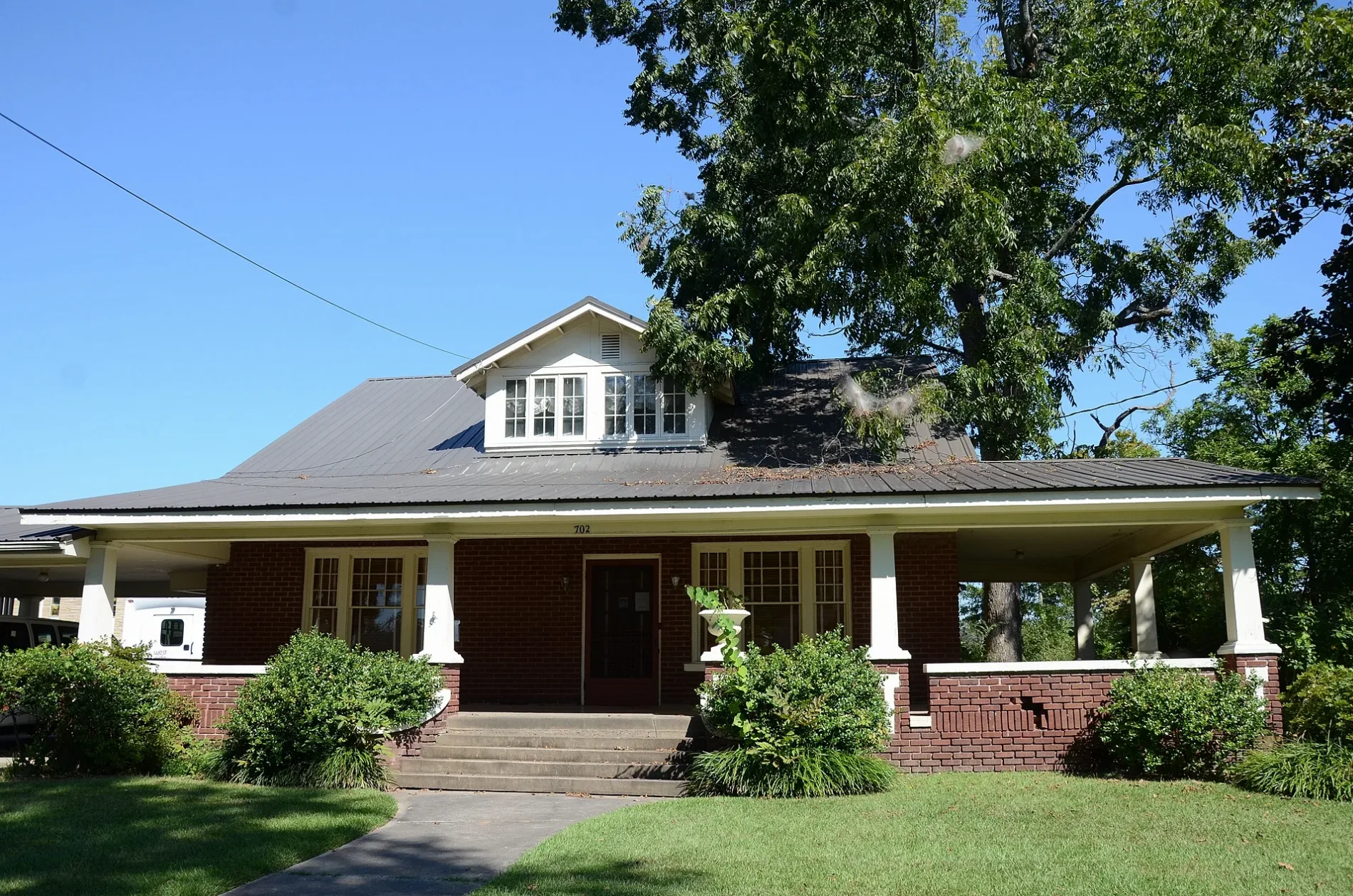
Streets nearby
West Park Avenue350 ft
South Pear Street500 ft
Harold Wilson Way0.1 mi
South Sowell StreetSaint Mary CME Church
0.1 mi
South College Street0.1 mi
South Maple Avenue0.2 mi
South Hickory Street0.2 mi
South Olive Street0.2 mi
North College Street0.2 mi
South Pecan Street0.2 mi
North Maple Street0.2 mi
North Olive Street0.3 mi
West Race AvenueWest Race Baptist Church, Bee Kind
0.3 mi
North Birch Street0.3 mi
North Pecan Street0.3 mi
South Lucy Street0.3 mi
North Hickory Street0.3 mi
North Sowell Street0.3 mi
West Arch AvenueQuattlebaum's, Melt Art Studio
0.3 mi
North Pear Street0.3 mi
Mary Lou Drive0.3 mi
West Vine Avenue0.4 mi
North Lucy Street0.4 mi
Palm Springs0.4 mi
South Pyeatt0.4 mi
West Academy Avenue0.4 mi
North Pyeatt Street0.4 mi
Western Hills Drive0.4 mi
Key Largo Drive0.4 mi
Sanibel Street0.5 mi
South Cone Street0.5 mi
West Center AvenueSecond Baptist Church
0.5 mi
Stu's Brews Drive-ThroughStu’s Brews, Janett & Larry Crain Memorial Library
0.5 mi
West Beebe Capps ExpresswaySearcy Fire Station 3, The Beauty Loft, Brick Oven Pizza, Waffle House, Habitat for Humanity ReStore
0.5 mi
Banks nearby
Centennial Bank0.2 mi
Riverwind Bank0.5 mi
Churches nearby
Saint Mary CME Church500 ft
Christ Temple Holiness Church0.2 mi
Flower beds nearby
Butterfly Garden0.5 mi
Gas stations nearby
Walmart0.3 mi
Industrial buildings nearby
Ace Muffler & Welding0.2 mi
Parks nearby
Vine Street Orchard0.3 mi
Yancey Park0.4 mi
Places of worship nearby
West Side Church of Christ0.2 mi
Religious areas nearby
Westside Church of Christ0.2 mi
Residential areas nearby
Sunset Point0.4 mi
Sports fields nearby
Maple House Court0.2 mi
Streams nearby
Gin Creek0.4 mi
Supermarkets nearby
Walmart Neighborhood Market0.2 mi
 Public transit map Searcy Legend
| Railway | |
| Bus | |
| Streetcar |
 Bicycle map Searcy Legend
| Bike path | |
| Bike lane on roadway | |
| Cycling allowed on bus lane | |
| Bicycle street | |
| Open to cyclists | |
| Open to cyclists, good path | |
| Cycling prohibited | |
| Cobblestone |
| Long-distance bike route | (depending on scale) | |
| Long-distance bike route |
 Pedestrian map Searcy Legend
| Path |
| Long-distance hiking trail | (depending on scale) | |
| Long-distance hiking trail | ||
| Pedestrians prohibited |