
3rd Avenue in Contra Costa County, California
3rd Avenue in Contra Costa County is a residential street. It runs in a north-south direction and crosses Starr Street, Wanda Street and Ceres Street and ends at Pomona Street, while the other end is a cul-de-sac. Nearby there is a place of worship. The nearest stop is 2nd Avenue & Wanda Street (about 100 m away). 3rd Avenue also exists in San Francisco, Humboldt County, Sacramento County, Napa County and San Joaquin County.
- Road Type
- residential street
- Route
- north-south
Image
Places of worship
Streets nearby
Starr Street150 ft
4th Avenue250 ft
2nd Avenue2nd Avenue & Wanda Street, Four Corners Pizza, Lucia's Craft Sandwich, Toot's Tavern
300 ft
Wanda Street350 ft
Ceres Street0.1 mi
1st AvenueValona
0.1 mi
Dowrelio Drive0.1 mi
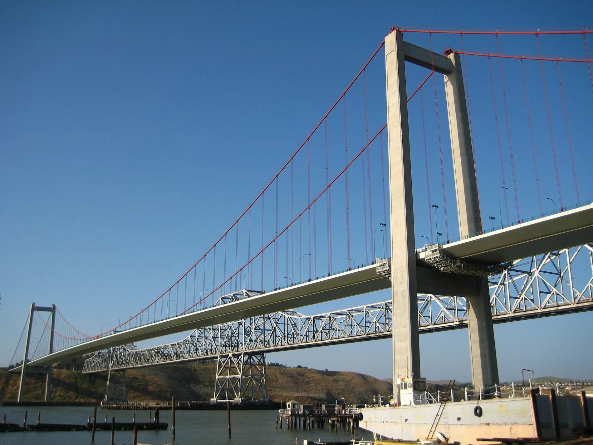
Carquinez Bridge1958 Carquinez Bridge
0.1 mi
Port Street0.1 mi
Pomona StreetJ & L Market, Crockett, John Swett High School, Pomona Street & Port Street, Sugar City Pet Supply, Abrol Cafe, Club Tac, Judy's Place
0.2 mi
Carquinez Bridge Trail0.2 mi
A StreetTormey
0.2 mi
Rolph Avenue0.2 mi
Crolona HeightsCrolona Heights
0.2 mi
Crolona Heights Drive0.2 mi
Winslow Street0.2 mi
West Street0.3 mi
Lillian Street0.3 mi
Redwood Court0.3 mi
Eppinger Street0.3 mi
Francis Street0.3 mi
Juniper Court0.3 mi
Rolph Park Court0.3 mi
Bay Street0.3 mi
Cedar Court0.3 mi
Heald Court turnaround0.3 mi
Rolph Park Drive0.4 mi
Duperu Drive0.4 mi
Loring AvenueLoring Avenue & Rolph Avenue
0.4 mi
Woodward Court0.4 mi
Heald Court0.4 mi
Alhambra Street0.4 mi
Buildings nearby
The Old Homestead500 ft
Crockett Community Swimming Center0.2 mi
Carquinez Model Railroad Society0.4 mi
Community centers nearby
Crockett Community Center0.3 mi
Fire stations nearby
Crockett-Carquinez Fire Station No. 780.3 mi
Industrial areas nearby
California and Hawaiian Sugar Company0.3 mi
Industrial buildings nearby
California & Hawaii Sugar Factory0.3 mi
Libraries nearby
Crockett Branch Contra Costa County Library0.1 mi
Museums nearby
Crockett Historical Museum0.2 mi
Parks nearby
Alexander Park0.2 mi
Rithet Park0.2 mi
Places of worship nearby
St. Rose of Lima150 ft
Post offices nearby
United States Post Office0.4 mi
Railways nearby
UP Martinez Subdivision0.2 mi
Restaurants nearby
Dukes450 ft
Streams nearby
Edwards Creek0.2 mi
Swimming pools nearby
Kid Swimming Pool0.2 mi
 Public transit map Contra Costa County Legend
| Railway | |
| Bus | |
| Streetcar |
 Bicycle map Contra Costa County Legend
| Bike path | |
| Bike lane on roadway | |
| Cycling allowed on bus lane | |
| Bicycle street | |
| Open to cyclists | |
| Open to cyclists, good path | |
| Cycling prohibited | |
| Cobblestone |
| Long-distance bike route | (depending on scale) | |
| Long-distance bike route |
 Pedestrian map Contra Costa County Legend
| Path |
| Long-distance hiking trail | (depending on scale) | |
| Long-distance hiking trail | ||
| Pedestrians prohibited |