
Port Street in Crockett, CA 94525
Port Street in Crockett, CA 94525 (Contra Costa County) is a residential street. It runs in a north-south direction starting from Dowrelio Drive and crosses Wanda Street and Ceres Street and ends at Pomona Street. This street is part of the Bicycle route "San Francisco Bay Trail".
- Road Type
- residential street
- Route
- north-south
Image
Streets nearby
1st AvenueValona
200 ft
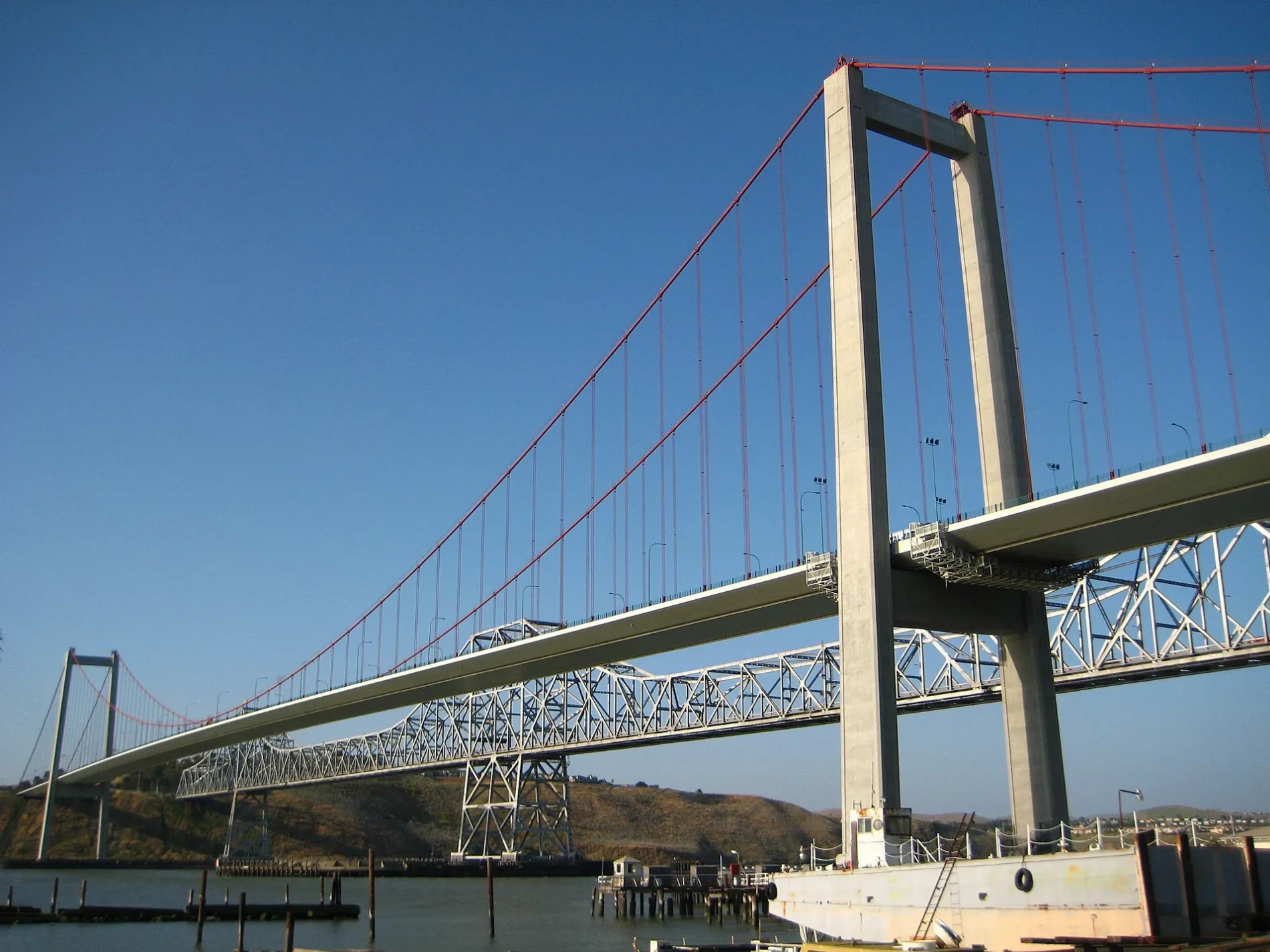
Carquinez Bridge1958 Carquinez Bridge
300 ft
Ceres Street500 ft
2nd Avenue2nd Avenue & Wanda Street, Four Corners Pizza, Lucia's Craft Sandwich, Toot's Tavern
500 ft
6th Avenue550 ft
7th Avenue0.1 mi
Flora Street0.1 mi
Starr Street0.2 mi
A StreetTormey
0.2 mi
Wanda Street0.2 mi
5th Avenue0.2 mi
Lillian Street0.2 mi
Virginia Street0.2 mi
4th Avenue0.2 mi
Del Mar Circle0.2 mi
Francis Street0.2 mi
Columbus Avenue0.2 mi
Kendall Avenue0.2 mi
Johnson Street0.3 mi
Loring AvenueLoring Avenue & Rolph Avenue
0.3 mi
Dowrelio Drive0.3 mi
Merchant Street0.3 mi
Rose StreetSaranap
0.3 mi
Pomona StreetJ & L Market, Crockett, John Swett High School, Pomona Street & Port Street, Sugar City Pet Supply, Abrol Cafe, Club Tac, Judy's Place
0.3 mi
Carquinez Bridge Trail0.3 mi
San Pablo AvenueSan Pablo Avenue & A Street, San Pablo Avenue & Merchant Street, Tosco Refinery, Alfred Zampa Memorial Bridge Viewpoint, Walgreens, San Pablo Avenue & Tara Hills Drive, San Pablo Avenue & Kay Road, San Pablo Avenue & California Street, San Pablo Avenue & Crestwood Drive, San Pablo Avenue & Shamrock Drive, Valero
0.3 mi
3rd AvenueSaint Rose Catholic Church
0.3 mi
Carquinez Way0.3 mi
Rolph Avenue0.3 mi
Eastshore Freeway0.4 mi
Bridgeview Court0.4 mi
Meadows Lane0.4 mi
Crestview Street0.4 mi
Bayview Street0.4 mi
Vista del Rio Street0.4 mi
Grandview Street0.4 mi
Buildings nearby
The Old Homestead0.2 mi
Crockett Community Swimming Center0.3 mi
Industrial buildings nearby
California & Hawaii Sugar Factory0.4 mi
Libraries nearby
Crockett Branch Contra Costa County Library0.3 mi
Museums nearby
Crockett Historical Museum0.3 mi
Parks nearby
Alexander Park0.3 mi
Rithet Park0.4 mi
Places of worship nearby
St. Rose of Lima0.2 mi
Railways nearby
UP Martinez Subdivision0.3 mi
Restaurants nearby
Dukes550 ft
The Dead Fish0.4 mi
Streams nearby
Edwards Creek0.2 mi
Swimming pools nearby
Kid Swimming Pool0.3 mi
Public transit map Contra Costa County Legend
| Railway | |
| Bus | |
| Streetcar |
Bicycle map Contra Costa County Legend
| Bike path | |
| Bike lane on roadway | |
| Cycling allowed on bus lane | |
| Bicycle street | |
| Open to cyclists | |
| Open to cyclists, good path | |
| Cycling prohibited | |
| Cobblestone |
| Long-distance bike route | (depending on scale) | |
| Long-distance bike route |
Pedestrian map Contra Costa County Legend
| Path |
| Long-distance hiking trail | (depending on scale) | |
| Long-distance hiking trail | ||
| Pedestrians prohibited |