
South Olive Avenue in Alhambra, California
South Olive Avenue in Alhambra is a residential street. The street has sidewalks. It runs in a South direction starting from West Ramona Road and ends at West Hellman Avenue. South Olive Avenue also exists in Tulare County and Orange County.
- Road Type
- residential street
- Route
- north-south
Image
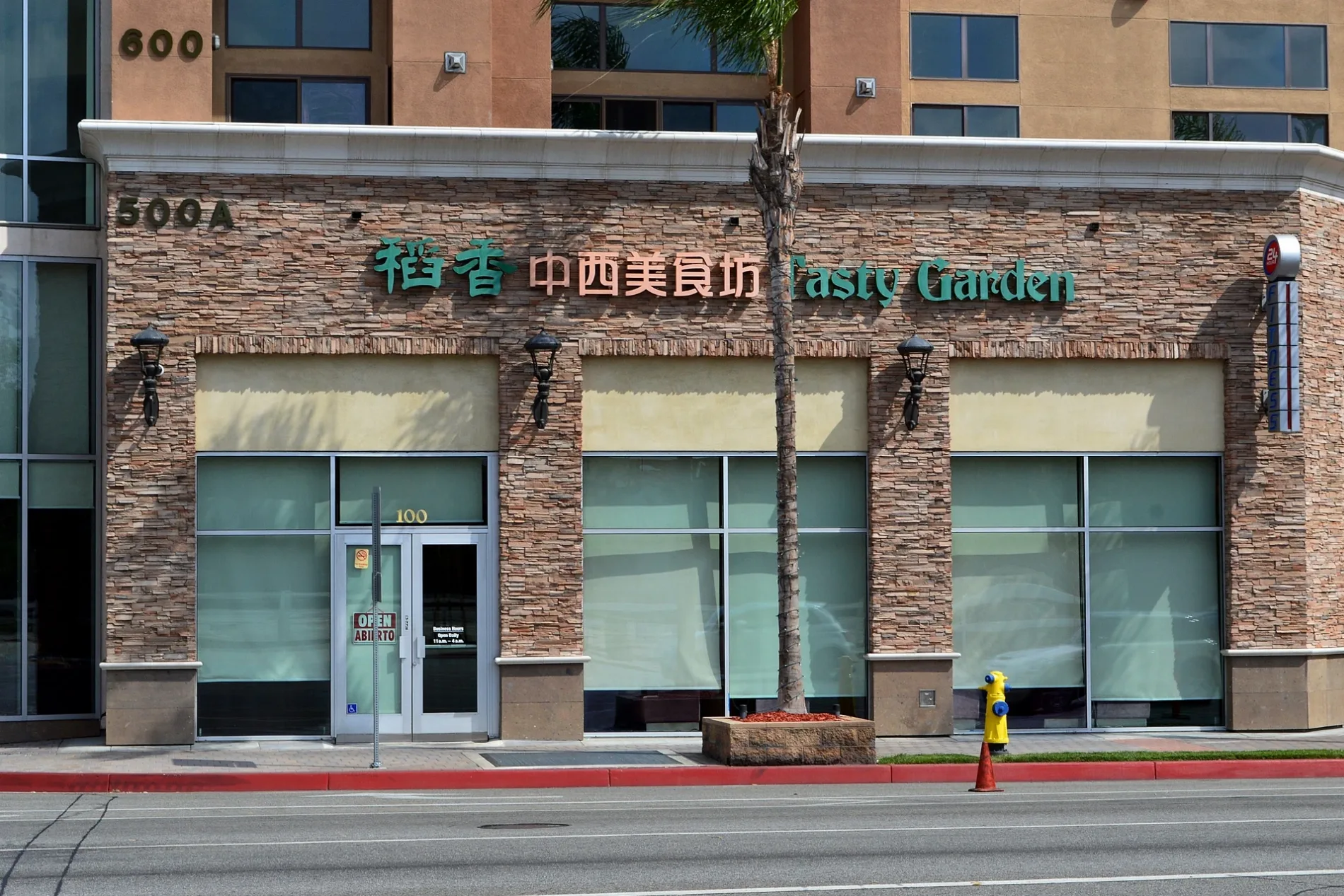
Restaurants
Hardware stores
Laundries
Banks
Car washes
Fast food restaurants
Places of worship
Hair salons
Charging stations
Supermarkets
Pharmacies
Bus stops
Monasteries
Cafes
Liquor stores
Florists
Cell phone stores
Streets nearby
South Curtis Avenue0.1 mi
I-10 Metro ExpressLanesI-10 E Toll Gantry, Ramona Park, I-10 W Toll Gantry, CP Jordan, CP Fremont
0.1 mi
North Atlantic BoulevardRunning Chicks, Beard Papa's, Xiang Cuisine 新湘好, Thai Paradise, Ocean Star Restaurant, Half and Half Tea Express, 99 Ranch Market, GW Supermarket, AMC Atlantic Times Square 14, Asayoru Maid Cafe, The Tea, Magical Nails & Spa, BMO, Kagura Tonkatsu, Smoking Tiger Coffee Lab, Holiday Inn, Metro 260, 762, Atlantic Place Dental Office, Bank of America, Phoenix Food Boutique, Gram Cafe & Pancakes, Hong Kong Cafe, Atlantic Seafood & Dim Sum Restaurant 黃金閣海鮮酒樓, Green Island Restaurant 綠島風味餐廳, Daiso Japan, Heytea, Grab A Crab, Big Way Hot Pot, 1919 Noodle Express, Spa Carrera, Aritaum, 528 Entertainment, Macha Burger, Mongolian Pie, Metro
0.1 mi
South Marguerita AvenueGoudy Honda
0.1 mi
San Bernardino Freeway0.2 mi
South 9th Street0.2 mi
Glendon Way0.2 mi
Pedley Drive0.2 mi
South Atlantic BoulevardFirst Baptist Church, Carol Hair Studio, Fast Cleaners, Primavera Funeral Parlor, Starbucks, Do Art Ink, Metro 7, Pizza Hut, Oral Care Dental Center, Chevron, 7-Eleven, Bilt Tuff
0.2 mi
South 8th Street0.2 mi
Guest Drive0.2 mi
South Electric AvenueAll Souls Roman Catholic Church, All Souls Convent
0.3 mi
South Bushnell Avenue0.3 mi
9th StreetBa Le Sandwich Shop, Coin Laundry, S K Salon
0.3 mi
Hathaway Avenue0.3 mi
Olive Avenue0.3 mi
Hagen Drive0.3 mi
Riegel Drive0.3 mi
Emerson Avenue0.3 mi
Roark Drive0.3 mi
West Emerson AvenueMeet Fresh
0.3 mi
West Glendon Way0.3 mi
Carwile Drive0.4 mi
Marguerita Avenue0.4 mi
South Marengo AvenueChinese Christian Family Church, Century High School
0.4 mi
Siwanoy Drive0.4 mi
Ramona RoadMetro 70
0.4 mi
South Campbell Avenue0.4 mi
St Simon CircleChurch of Saint Simon and Jude
0.4 mi
Midwickhill Drive0.4 mi
West Hellman AvenueGranada Park United Methodist Church, Hellman & Westboro, Hellman / Fremont
0.4 mi
West Ramona RoadMichoacana, The Spot Smoke Shop, Metro 70
0.5 mi
Apartment buildings nearby
18340.3 mi
18240.3 mi
18140.3 mi
18440.3 mi
18320.3 mi
18220.3 mi
18120.4 mi
18420.4 mi
18200.4 mi
18400.4 mi
18300.4 mi
18100.4 mi
18500.4 mi
Hotels nearby
Courtyard Los Angeles Monterey Park0.2 mi
Railways nearby
Metrolink San Gabriel Subdivision0.5 mi
Retail areas nearby
Atlantic Times Square0.1 mi
Mar Plaza0.3 mi
Public transit map Alhambra Legend
| Railway | |
| Bus | |
| Streetcar |
Bicycle map Alhambra Legend
| Bike path | |
| Bike lane on roadway | |
| Cycling allowed on bus lane | |
| Bicycle street | |
| Open to cyclists | |
| Open to cyclists, good path | |
| Cycling prohibited | |
| Cobblestone |
| Long-distance bike route | (depending on scale) | |
| Long-distance bike route |
Pedestrian map Alhambra Legend
| Path |
| Long-distance hiking trail | (depending on scale) | |
| Long-distance hiking trail | ||
| Pedestrians prohibited |