
San Bernardino Freeway in Alhambra, California
San Bernardino Freeway in Alhambra is a four-lane, asphalted highway (Road number I 10) and it runs in an east-west direction. This street is part of the highways 10 and Juan Bautista de Anza National Historic Trail Auto Tour Route. San Bernardino Freeway also exists in Claremont, San Dimas, San Gabriel, Los Angeles and Pomona.
- Bicycle
- no
- Road Type
- highway
- Lanes
- 4
- Speed Limit
- 65 mph
- Route
- east-west
Image
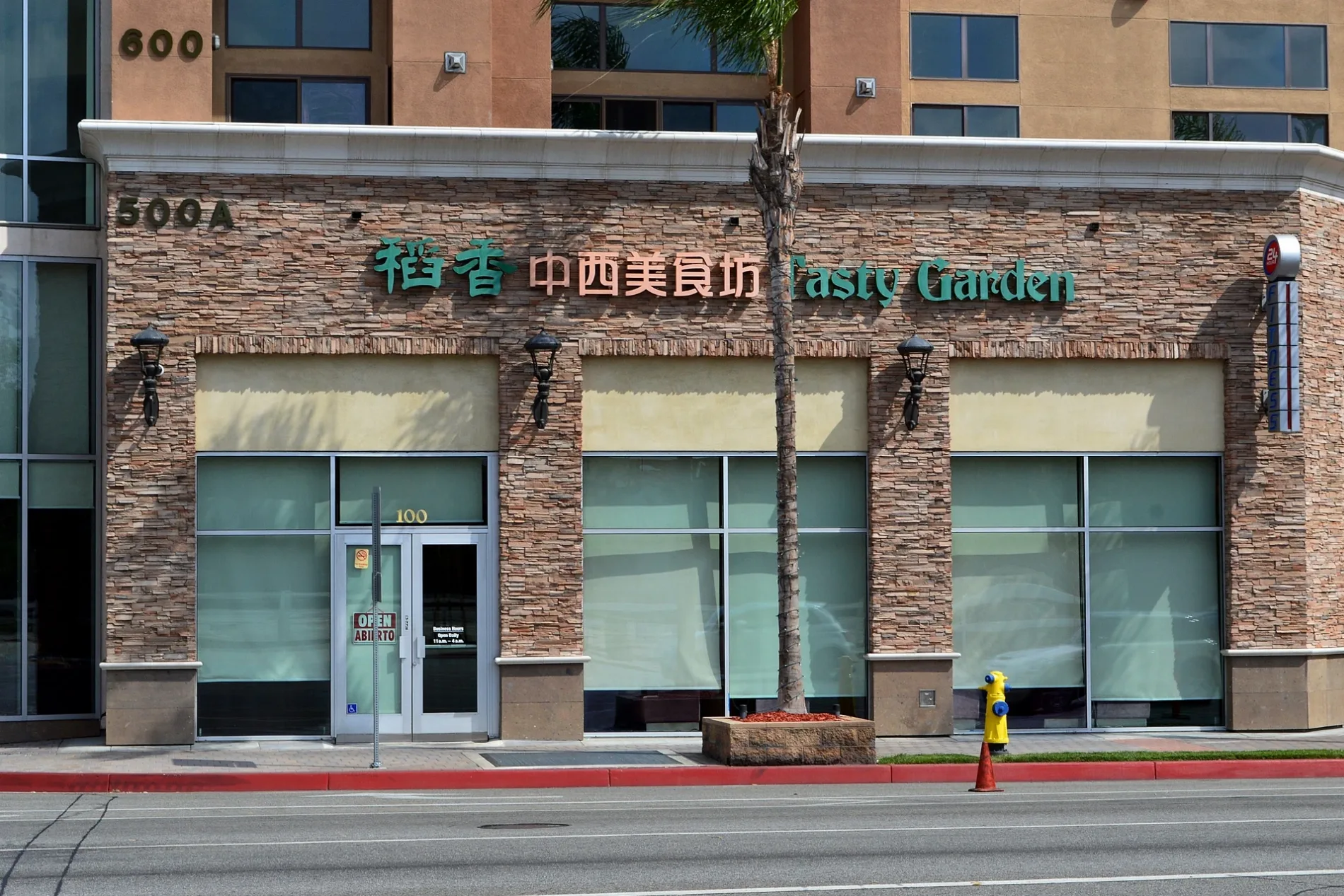
Fast food restaurants
Liquor stores
Dentist offices
Charging stations
Restaurants
Laundries
Cell phone stores
Car dealerships
Bus stops
- bus lines 258, 2009, 2016, N2002
Monasteries
Hair salons
Florists
Banks
Tire dealers
Streets nearby
South 9th Street200 ft
South 8th Street550 ft
North Atlantic BoulevardBMO, Super Smoke Smoke Shop, Shell, Cathay Bank, Mercado's Flowers, Grace Lutheran Church, Spanglish Kitchen
0.1 mi
South Olive Avenue0.2 mi
South 7th Street0.2 mi
Glendon Way0.2 mi
South Curtis Avenue0.2 mi
North Chandler AvenueNo. 1 Charcoal BBQ
0.3 mi
South 6th StreetFire Station 72, Just Tires
0.3 mi
South Marguerita Avenue0.3 mi
I-10 Metro ExpressLanesRamona Park, CP Jordan, CP Fremont
0.3 mi
8th StreetDolan's Uyghur Cuisine
0.3 mi
Olive Avenue0.3 mi
South 5th StreetFirst Christian Church, Independence High School
0.3 mi
South Atlantic BoulevardFirst Baptist Church, Carol Hair Studio, Metro 7, WingStreet, Oral Care Dental Center
0.3 mi
Hathaway Avenue0.3 mi
West Hellman AvenueOn Fire Hotpot
0.4 mi
7th StreetJazz Cat Cafe, LAO TIE
0.4 mi
9th StreetBa Le Sandwich Shop, Coin Laundry, S K Salon
0.4 mi
Guest Drive0.4 mi
West Emerson AvenueMeet Fresh
0.4 mi
South 4th Street0.4 mi
Hampton Avenue0.4 mi
Emerson Avenue0.4 mi
Pedley Drive0.4 mi
North Moore Avenue0.4 mi
Hagen Drive0.4 mi
South Electric AvenueAll Souls Roman Catholic Church, All Souls Convent
0.4 mi
Riegel Drive0.4 mi
Curtis Avenue0.4 mi
Ynez AvenueJJ Hong Kong Cafe, Mama Lu's Dumpling House
0.4 mi
West Ramona Road0.4 mi
South 3rd Street0.4 mi
West Valley BoulevardBank of the West, Metro 76, Belly's West Liquor, Tacos Ensenada, CNV Auto Parts, New Noodle City, T-Mobile, Metro 76, ACT Green Line, Eastern International Bank, A-Me Kitchen, Lollicup Fresh, Tapioca Express, A-One Hair Salon, Gulf, Xiao Long Kan, New World PC, Art of Flowers, Arco, Aloha Food Factory, CVS Pharmacy, The Hat, Boat House, Cajun Boiled Sea Food, Nem Nuong Khanh Hoa, Tesla Supercharger, McDonald's, Popeyes, 1-800-FLOWERS, East West Bank, Pepe's Mexican Food, Jack in the Box, Royal Gardens Healthcare, Hengry, Italian Christian Assembly Church
0.5 mi
Mc Pherrin Avenue0.5 mi
Hillard AvenueChrist Lutheran Church
0.5 mi
Banks nearby
Chase0.4 mi
Bank of America0.5 mi
Cafes nearby
Starbucks0.4 mi
Hotels nearby
Courtyard Los Angeles Monterey Park0.2 mi
Parks nearby
Langley Park0.5 mi
Pharmacies nearby
Health Care 210.5 mi
Railways nearby
Metrolink San Gabriel Subdivision0.4 mi
Restaurants nearby
Chengdu Taste0.4 mi
Retail areas nearby
Atlantic Times Square0.1 mi
Mar Plaza0.4 mi
Shopping malls nearby
Strip Mall0.4 mi
Supermarkets nearby
Ralphs0.4 mi
Asia Supermarket0.4 mi
Public transit map Alhambra Legend
| Railway | |
| Bus | |
| Streetcar |
Bicycle map Alhambra Legend
| Bike path | |
| Bike lane on roadway | |
| Cycling allowed on bus lane | |
| Bicycle street | |
| Open to cyclists | |
| Open to cyclists, good path | |
| Cycling prohibited | |
| Cobblestone |
| Long-distance bike route | (depending on scale) | |
| Long-distance bike route |
Pedestrian map Alhambra Legend
| Path |
| Long-distance hiking trail | (depending on scale) | |
| Long-distance hiking trail | ||
| Pedestrians prohibited |