
Hillard Avenue in Monterey Park, California
Hillard Avenue in Monterey Park is a residential street. It runs in an east-west direction starting from Ynez Avenue and crosses Mc Pherrin Avenue, North Huntington Avenue and North Baltimore Avenue and ends at North Garfield Avenue. Nearby there is a place of worship. The nearest bus stop is Spirit (about 150 m away). Hillard Avenue also exists in Glendale and La Cañada Flintridge.
- Road Type
- residential street
- Route
- east-west
Image
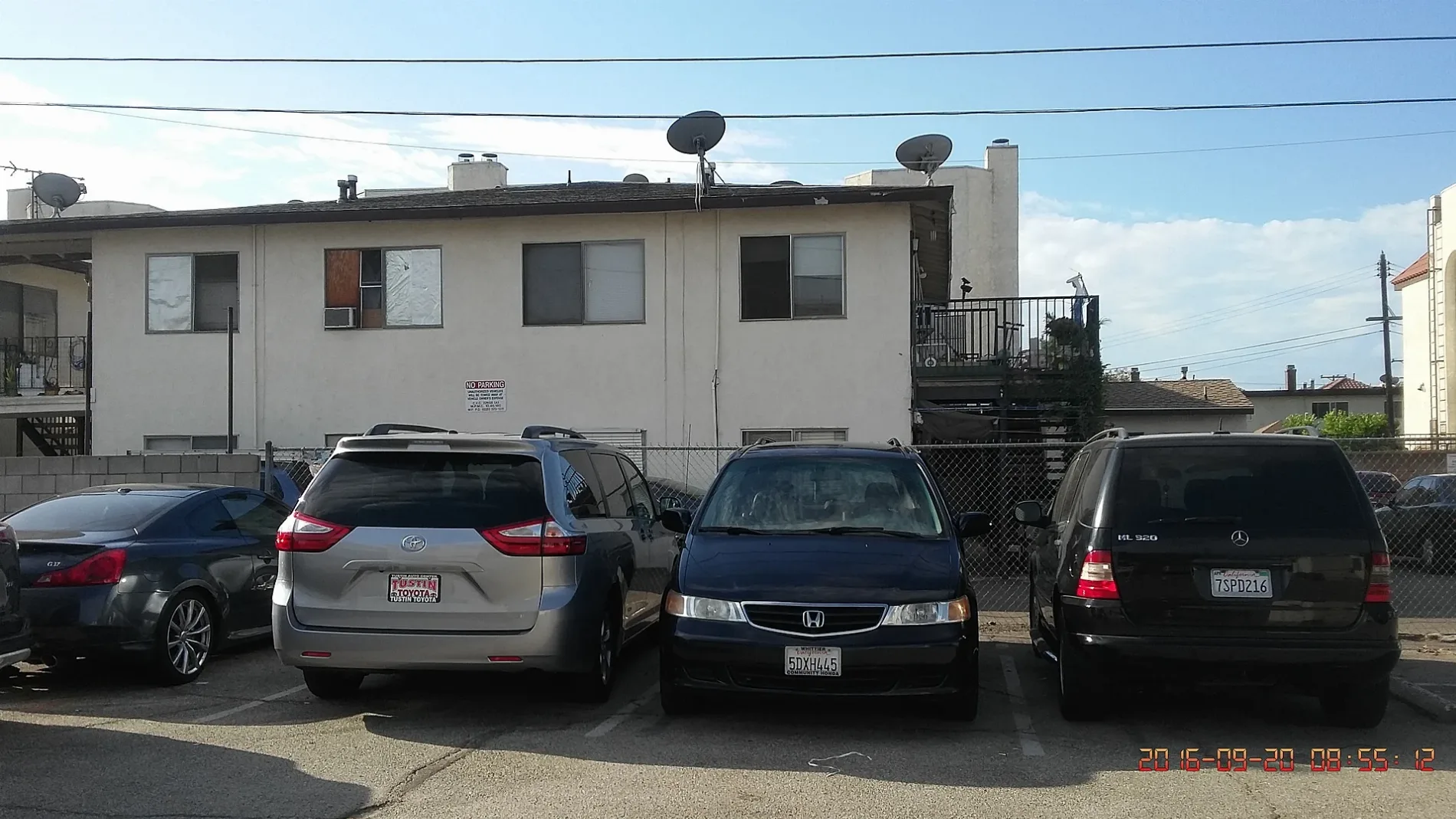
Places of worship
Streets nearby
North Garfield Avenue500 North Garfield Medical Building, Monterey Park Convalescent Hospital, 600 North Garfield Medical Building, Spirit, Montebello, Garfield Professional Medical Building, Heritage Manor Healthcare Center, ABC Cafe, Dollar Cleaners
350 ft
Garfield Medical Center500 ft
North Baltimore Avenue550 ft
East Emerson Avenue0.1 mi
North Huntington Avenue0.2 mi
West Hellman AvenueOn Fire Hotpot
0.2 mi
Garcelon Avenue0.2 mi
East Hellman Avenue0.2 mi
South 2nd StreetGarden Cafe, Alhambra City Hall
0.2 mi
Avondale AvenueP. P. Pop
0.3 mi
South 3rd Street0.3 mi
North Lincoln Avenue0.3 mi
South Stoneman AvenueAlhambra Christian Center, Second Baptist Church
0.3 mi
San Bernardino Freeway0.3 mi
Mc Pherrin Avenue0.3 mi
I-10 Metro ExpressLanesRamona Park, CP Jordan, CP Fremont
0.3 mi
South Monterey StreetSavoy Kitchen
0.3 mi
Garvey AvenueMetro 70, 770
0.3 mi
West Garvey AvenueGBC International Bank, Hong Kong Cafe, Metro 70, 1112 W Garvey Ave, Monterey Park, CA 91754, United Pacific Bank, Metro 70, 770, L.Y.L. Garden Seafood Restaurant, Pronto Donuts, Chubby Cattle, Lucky Grass Convenience Store 幸運便利店, My Asian Nanny, Daikokuya, Tanggong 唐宫, Wing Hop Fung 永合豐, Kee Wah Bakery 奇華, Fuxing Spring, East West Bank, Longten Cafe, Bank of America, Diamond Bakery 鑽石餅家, Ah-La Noodles 食面埋福, Sham Tseng BBQ Shop, T.S. Emporium
0.3 mi
Garfield Avenue0.3 mi
South Ramona AvenueBruggemeyer Memorial Library, Monterey Park City Hall
0.3 mi
East Ramona Road0.3 mi
South Chapel AvenueAlhambra Seven Day Adventist Church
0.4 mi
South Lincoln Avenue0.4 mi
East Garvey AvenueMetro 70, 770, Johnny Thompson Music, Metro 70, USA Gasoline, Garvey Inn, Mama's Lu Dumpling House, Kim Tar Restaurant, Noodle House, Divine's, Beijing Pie House, May & Tri Beauty Salon, Cui Hua Lou, Shell, USG Supermarket, 101 VE INC.
0.4 mi
Ramona RoadMetro 70
0.4 mi
Russell Avenue0.4 mi
South Sierra Vista Avenue0.4 mi
Roselyn Place0.4 mi
South Russell Avenue0.4 mi
South Garfield AvenueSaint Pauls Lutheran Church, Monterey Park United Methodist Church, Garfield/El Repetto, Garfield Avenue S and Maronde Way, Monterey Park Church of the Nazarene, Dollar Tree, Chevron, Montebello, Alta Dena Dairy, Garfield Avenue S and Coral View Street, Garfield Avenue S and E Graves Avenue, Metro 68, Tuneup Masters
0.4 mi
Roselyn WayFaith Lutheran Church
0.4 mi
North Nicholson Avenue0.4 mi
Almansor Street Overpass0.4 mi
North Alhambra Avenue0.4 mi
South Nicholson Avenue0.5 mi
South Almansor StreetBank of America
0.5 mi
Everett Avenue0.5 mi
North Sierra Vista Street0.5 mi
Alhambra Avenue0.5 mi
Banks nearby
Citibank0.2 mi
Convenience stores nearby
ampm0.1 mi
760.2 mi
Fast food restaurants nearby
DimSum Express0.1 mi
Hotels nearby
Lincoln Plaza Hotel0.4 mi
Parks nearby
Langley Park0.2 mi
Post offices nearby
Monterey Park Post Office0.3 mi
Railways nearby
Metrolink San Gabriel Subdivision0.3 mi
Supermarkets nearby
Hong Kong Supermarket0.3 mi
Public transit map Monterey Park Legend
| Railway | |
| Bus | |
| Streetcar |
Bicycle map Monterey Park Legend
| Bike path | |
| Bike lane on roadway | |
| Cycling allowed on bus lane | |
| Bicycle street | |
| Open to cyclists | |
| Open to cyclists, good path | |
| Cycling prohibited | |
| Cobblestone |
| Long-distance bike route | (depending on scale) | |
| Long-distance bike route |
Pedestrian map Monterey Park Legend
| Path |
| Long-distance hiking trail | (depending on scale) | |
| Long-distance hiking trail | ||
| Pedestrians prohibited |