
North 1st Street in Montebello, California
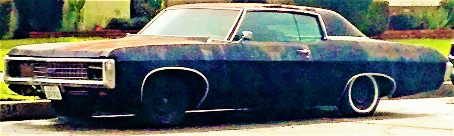
North 1st Street in Montebello is an asphalted residential street. It runs in a North direction starting from West Beverly Boulevard and crosses East Beverly Boulevard, East Victoria Avenue and West Victoria Avenue. It ends in a cul-de-sac. North 1st Street also exists in Alhambra.
- Road Type
- residential street
- Route
- north-south
Image
Schools
Variety stores
Social facilities
Places of worship
Fast food restaurants
Drugstores
Post offices
Restaurants
Streets nearby
Poplar Avenue400 ft
North Poplar AvenueKingdom Hall of Jehovahs Witnesses
0.1 mi
West Beverly BoulevardChico, Chevron, Beverly Boulevard Four Square Gospel Church, 99 Cents Only Stores, Montebello Care Center, Cross and Crown Lutheran Church, Popeyes, McDonald's, Burger King, Jack in the Box
0.2 mi
Dewey Circle0.2 mi
East Victoria AvenueMontebello Church of Christ
0.2 mi
Bradley Avenue0.2 mi
Harding Avenue0.2 mi
Katherine Drive0.2 mi
Maiden Lane0.2 mi
East Beverly Boulevard0.3 mi
Holger Drive0.3 mi
Valera Drive0.3 mi
Dochan Circle0.3 mi
Wilber Place0.3 mi
1st Street0.3 mi
Andruss Place0.3 mi
East Eula Drive0.3 mi
Lincoln Avenue0.3 mi
North Victoria Avenue0.3 mi
East Lincoln Avenue0.3 mi
Madison AvenueWashington Elementary School
0.3 mi
Eula Drive0.3 mi
Edwin Aldrin Circle0.4 mi
Fremont Square0.4 mi
2nd StreetFremont Elementary School
0.4 mi
Oakmont Drive0.4 mi
East Fremont Square0.4 mi
North 2nd Street0.4 mi
West Oakmont Drive0.4 mi
Dacre Place0.4 mi
North 4th Street0.4 mi
Fran Place0.4 mi
De Palma Way0.4 mi
West Beverly Terrace0.5 mi
North 7th Street0.5 mi
Avenida de la Merced0.5 mi
North 3rd Street0.5 mi
Cleveland AvenueMontebello Post Office, Saint Benedict School, Saint Benedict Roman Catholic Church
0.5 mi
North 5th Street0.5 mi
Montebello Boulevard West Frontage Road0.5 mi
Marek Drive0.5 mi
North 6th Street0.5 mi
Emmett Williams Way0.5 mi
West Victoria AvenueDollar Tree, Montebello Police Building
0.6 mi
Tampico Way0.6 mi
Buildings nearby
Gazebo0.6 mi
Cafes nearby
Starbucks0.5 mi
Parks nearby
Taylor Ranch0.5 mi
Supermarkets nearby
Vons0.5 mi
Public transit map Montebello Legend
| Railway | |
| Bus | |
| Streetcar |
Bicycle map Montebello Legend
| Bike path | |
| Bike lane on roadway | |
| Cycling allowed on bus lane | |
| Bicycle street | |
| Open to cyclists | |
| Open to cyclists, good path | |
| Cycling prohibited | |
| Cobblestone |
| Long-distance bike route | (depending on scale) | |
| Long-distance bike route |
Pedestrian map Montebello Legend
| Path |
| Long-distance hiking trail | (depending on scale) | |
| Long-distance hiking trail | ||
| Pedestrians prohibited |