
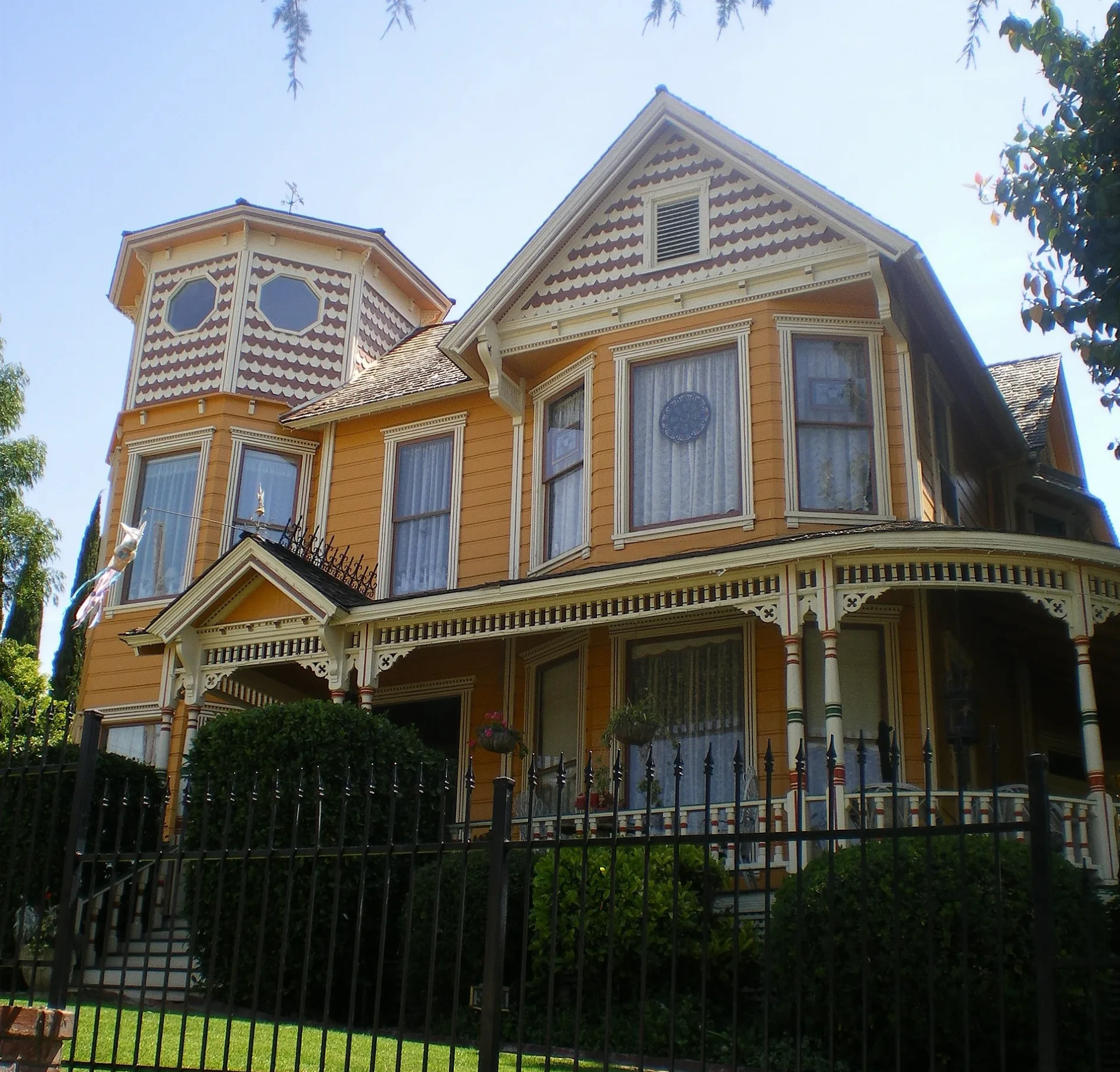
Edgehill Drive in Whittier, California
Edgehill Drive in Whittier is a residential street and runs in a north-south direction starting from Alta Avenue. Edgehill Drive also exists in Pomona.
- Road Type
- residential street
- Route
- north-south
Image
Restaurants
Beauty salons
Theaters
Bakeries
Places of worship
Artworks
Doctor's offices
Schools
Dentist offices
Streets nearby
Haviland Avenue400 ft
Beverly Hills Drive0.1 mi
Beverly BoulevardFoothill Transit 274, Beverly and Magnola, Wingstop, Lou Henry Hoover Fountain, Montebello 40, Plymouth Congregational Church
0.2 mi
Stanford Way0.2 mi
Peppergrass TrailHellman Park Trailhead
0.3 mi
Alta Avenue0.3 mi
Turnbull Canyon Road0.3 mi
Mariposa Trail0.3 mi
Hillside Lane0.4 mi
Broadway Avenue0.4 mi
Roundhill Drive0.4 mi
Decliff Drive0.4 mi
Sycamore Drive0.4 mi
Greenleaf AvenueChapala Bakery, R&C Nails Spa, General&Cosmetic Dentitry Luza, Gordo, D.D.S., Ultra Hair Studio, Puppy Salon, The Dress, Crab Louis, Greenleaf Avenue Baptist Church, Red Rascal, Legends Boardshop, From the Tree
0.4 mi
Camilla Street0.4 mi
Painter AvenueMontebello bus, Welcome Friends, Michaels, Chuck E. Cheese
0.5 mi
Hadley StreetFresh Off the Hook Fish Grill, Los Angeles County Fire Department Station #17, Subway, First Christian Church, CVS Pharmacy
0.5 mi
Wilson Way0.5 mi
Surrey Lane0.5 mi
Southwind Drive0.5 mi
Stone Crest Way0.5 mi
Murphy Hill Drive0.5 mi
Hill Avenue0.5 mi
Cozywood Court0.5 mi
Acheson Drive0.5 mi
Park Street0.5 mi
Bailey StreetDomino's, First United Methodist Church, Church of Religious Science, First Brethren Church
0.6 mi
Stardell Street0.6 mi
Pine Bluff Drive0.6 mi
Milton Place0.6 mi
Rose Drive0.6 mi
Ridge Road0.6 mi
Broadmore Drive0.6 mi
Rattlesnake Ridge Trail0.6 mi
Rex Court0.6 mi
Orange Drive0.6 mi
Olive Drive0.6 mi
Stanford Place0.7 mi
Brookmead Drive0.7 mi
Panorama Drive0.7 mi
Washington AvenueFirst Church of Christ Scientist, First Friends Church, Saint Matthias Episcopal Church, Foursquare Church of Whittier, Theatre entrance
0.7 mi
Opal Court0.7 mi
Omelia Road0.7 mi
Parks nearby
Central Park0.6 mi
Pharmacies nearby
Rite Aid0.7 mi
Places of worship nearby
First Baptist Church0.7 mi
Post offices nearby
Post Office0.7 mi
Restaurants nearby
Sage Restaurant & Lounge0.7 mi
Waters nearby
Turnbull Debris Basin0.3 mi
Public transit map Whittier Legend
| Railway | |
| Bus | |
| Streetcar |
Bicycle map Whittier Legend
| Bike path | |
| Bike lane on roadway | |
| Cycling allowed on bus lane | |
| Bicycle street | |
| Open to cyclists | |
| Open to cyclists, good path | |
| Cycling prohibited | |
| Cobblestone |
| Long-distance bike route | (depending on scale) | |
| Long-distance bike route |
Pedestrian map Whittier Legend
| Path |
| Long-distance hiking trail | (depending on scale) | |
| Long-distance hiking trail | ||
| Pedestrians prohibited |