
Sycamore Drive in Whittier, California
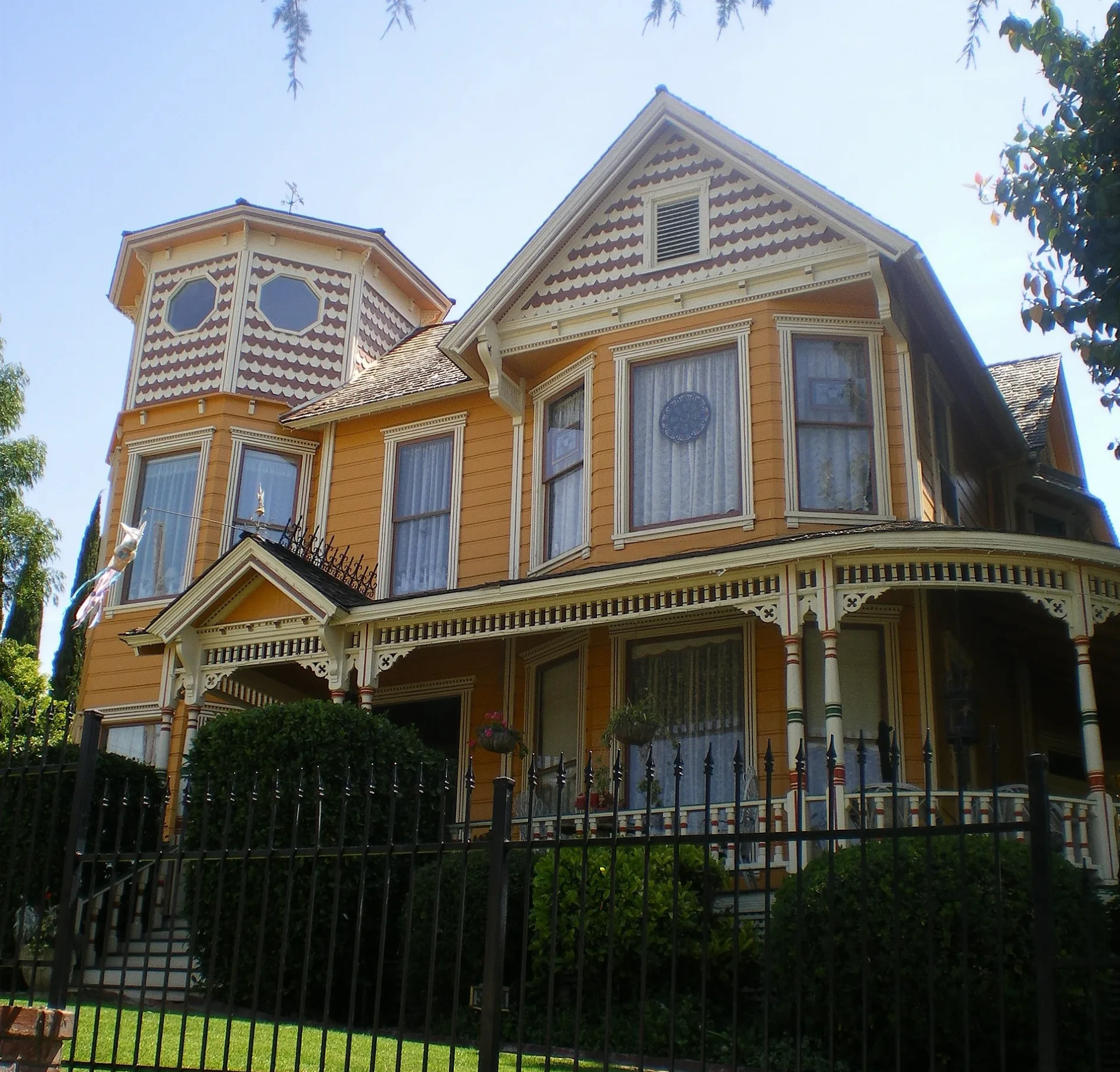
Sycamore Drive in Whittier is a residential street. It crosses Broadway Avenue and ends in a cul-de-sac. It comes from Alta Avenue. Sycamore Drive also exists in San Gabriel, Norwalk, Montebello, Santa Clarita and La Verne.
- Road Type
- residential street
Image
Restaurants
Beauty salons
Dentist offices
Bakeries
Places of worship
Artworks
Doctor's offices
Schools
Theaters
Streets nearby
Beverly Hills Drive500 ft
Alta Avenue0.1 mi
Edgehill Drive0.2 mi
Haviland Avenue0.2 mi
Hillside Lane0.2 mi
Beverly BoulevardFoothill Transit 274, Beverly and Magnola, Wingstop, Lou Henry Hoover Fountain, Montebello 40, Plymouth Congregational Church
0.2 mi
Roundhill Drive0.2 mi
Turnbull Canyon Road0.3 mi
Camilla Street0.3 mi
Hadley StreetFresh Off the Hook Fish Grill, Los Angeles County Fire Department Station #17, Subway, First Christian Church, CVS Pharmacy
0.3 mi
Wilson Way0.3 mi
Decliff Drive0.3 mi
Stone Crest Way0.3 mi
Peppergrass Trail0.3 mi
Painter AvenueMontebello bus, Welcome Friends, Michaels, Chuck E. Cheese
0.4 mi
Murphy Hill Drive0.4 mi
Hill Avenue0.4 mi
Southwind Drive0.4 mi
Park Street0.4 mi
Cozywood Court0.4 mi
Bailey StreetDomino's, First United Methodist Church, Church of Religious Science, First Brethren Church
0.4 mi
Pine Bluff Drive0.4 mi
Terrace Place0.4 mi
Ridge Road0.4 mi
Gaylin Street0.4 mi
Elmquist Avenue0.4 mi
Philadelphia Street0.4 mi
Finngal Place0.5 mi
Capiz Court0.5 mi
Altmark Avenue0.5 mi
Stanford Place0.5 mi
Worsham Drive0.5 mi
Olive Drive0.5 mi
Glen Court0.5 mi
Worsham Canyon Drive0.5 mi
Stanford Way0.5 mi
Satinwood Drive0.6 mi
Bryn Mawr Way0.6 mi
Founders Hill Road0.6 mi
Haverhill Park Road0.6 mi
Nature reserves nearby
Puente Hills Preserve0.7 mi
Sports fields nearby
Newman Field0.7 mi
Whittier College Softball Field0.7 mi
Stadiums nearby
Memorial Stadium0.6 mi
Streams nearby
Worsham Creek0.6 mi
Technical colleges nearby
Dezember House0.6 mi
Stauffer Residence Hall0.6 mi
Johnson Residence Hall0.6 mi
Waters nearby
Turnbull Debris Basin0.2 mi
Public transit map Whittier Legend
| Railway | |
| Bus | |
| Streetcar |
Bicycle map Whittier Legend
| Bike path | |
| Bike lane on roadway | |
| Cycling allowed on bus lane | |
| Bicycle street | |
| Open to cyclists | |
| Open to cyclists, good path | |
| Cycling prohibited | |
| Cobblestone |
| Long-distance bike route | (depending on scale) | |
| Long-distance bike route |
Pedestrian map Whittier Legend
| Path |
| Long-distance hiking trail | (depending on scale) | |
| Long-distance hiking trail | ||
| Pedestrians prohibited |